1200 Liberty Ln Gallatin, TN 37066
Estimated Value: $867,000 - $1,004,000
--
Bed
3
Baths
3,906
Sq Ft
$241/Sq Ft
Est. Value
About This Home
This home is located at 1200 Liberty Ln, Gallatin, TN 37066 and is currently estimated at $940,555, approximately $240 per square foot. 1200 Liberty Ln is a home located in Sumner County with nearby schools including Station Camp High School.
Ownership History
Date
Name
Owned For
Owner Type
Purchase Details
Closed on
Jul 28, 2003
Sold by
Key Robbie L and Key Lanny Dale
Bought by
Green Tree Servicing Llc
Current Estimated Value
Purchase Details
Closed on
May 19, 2000
Sold by
Greenway Jimmie L and Greenway Jane M
Bought by
Wigner Geoff A and Wigner Alice E
Home Financials for this Owner
Home Financials are based on the most recent Mortgage that was taken out on this home.
Original Mortgage
$236,000
Interest Rate
8.14%
Create a Home Valuation Report for This Property
The Home Valuation Report is an in-depth analysis detailing your home's value as well as a comparison with similar homes in the area
Home Values in the Area
Average Home Value in this Area
Purchase History
| Date | Buyer | Sale Price | Title Company |
|---|---|---|---|
| Green Tree Servicing Llc | $30,000 | -- | |
| Wigner Geoff A | $75,000 | -- |
Source: Public Records
Mortgage History
| Date | Status | Borrower | Loan Amount |
|---|---|---|---|
| Previous Owner | Wigner Geoff A | $236,000 |
Source: Public Records
Tax History Compared to Growth
Tax History
| Year | Tax Paid | Tax Assessment Tax Assessment Total Assessment is a certain percentage of the fair market value that is determined by local assessors to be the total taxable value of land and additions on the property. | Land | Improvement |
|---|---|---|---|---|
| 2024 | $2,968 | $208,900 | $48,175 | $160,725 |
| 2023 | $3,351 | $148,800 | $36,300 | $112,500 |
| 2022 | $3,366 | $148,800 | $36,300 | $112,500 |
| 2021 | $3,366 | $148,800 | $36,300 | $112,500 |
| 2020 | $3,366 | $148,800 | $36,300 | $112,500 |
| 2019 | $3,366 | $0 | $0 | $0 |
| 2018 | $2,619 | $0 | $0 | $0 |
| 2017 | $2,619 | $0 | $0 | $0 |
| 2016 | $2,619 | $0 | $0 | $0 |
| 2015 | -- | $0 | $0 | $0 |
| 2014 | -- | $0 | $0 | $0 |
Source: Public Records
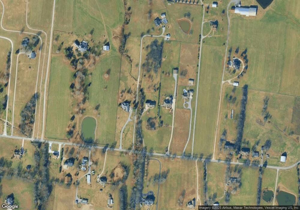
Map
Nearby Homes
- 1176 Liberty Ln
- 650 Neals Ln
- 662 Neals Ln
- 2045 Liberty Ln
- 1017 Wickshire Dr
- 315 Cummings Ln
- 1017 Laurelwood Dr
- 1869 Tennessee 25
- 1328 Wentworth Dr
- 1036 Middleton Ln
- 540 Bradford Dr
- 305 Remington Ave
- 300 Remington Ave
- 1273 Wentworth Dr
- 608 Bradford Dr
- 1245 Amherst Ct
- 1239 Wentworth Dr
- 420 Dorchester Place
- 415 Buckingham Blvd
- 0 Franklin Rd
- 1196 Liberty Ln
- 1212 Liberty Ln
- 1192 Liberty Ln
- 1206 Liberty Ln
- 1225 Liberty Ln
- 1188A Liberty Ln
- 1219 Liberty Ln
- 1226 Liberty Ln
- 1201 Liberty Ln
- 1229 Liberty Ln
- 1180A Liberty Ln
- 1172 Liberty Ln
- 1187 Liberty Ln
- 1233 Liberty Ln
- 1175 Liberty Ln
- 188B Liberty Ln
- 1170 Liberty Ln
- 1180B Liberty Ln
- 1258 Liberty Ln
- 1255 Liberty Ln