Estimated Value: $326,175 - $356,000
--
Bed
--
Bath
7,272
Sq Ft
$47/Sq Ft
Est. Value
About This Home
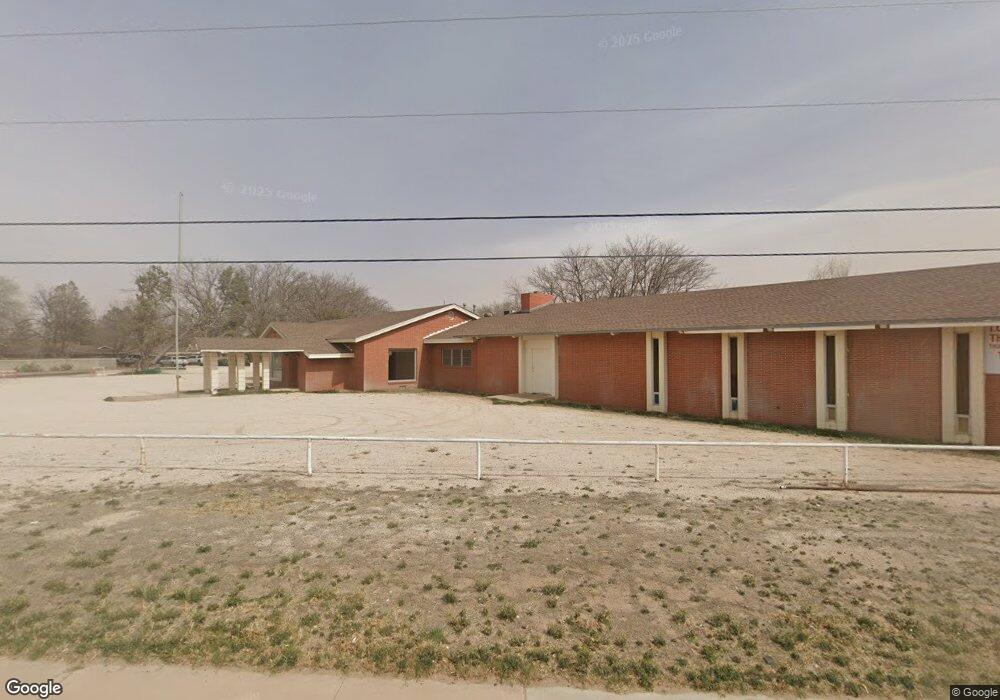
This home is located at 1200 N Dal Paso St, Hobbs, NM 88240 and is currently estimated at $341,088, approximately $46 per square foot. 1200 N Dal Paso St is a home located in Lea County with nearby schools including Broadmoor Elementary School, Highland Middle School, and Hobbs Freshman High School.
Ownership History
Date
Name
Owned For
Owner Type
Purchase Details
Closed on
May 12, 2023
Sold by
Independent Order Of Oddfellows Hobbs Lo
Bought by
Mh Consulting Llc
Current Estimated Value
Home Financials for this Owner
Home Financials are based on the most recent Mortgage that was taken out on this home.
Original Mortgage
$240,000
Outstanding Balance
$141,268
Interest Rate
9%
Mortgage Type
New Conventional
Estimated Equity
$199,820
Create a Home Valuation Report for This Property
The Home Valuation Report is an in-depth analysis detailing your home's value as well as a comparison with similar homes in the area
Home Values in the Area
Average Home Value in this Area
Purchase History
| Date | Buyer | Sale Price | Title Company |
|---|---|---|---|
| Mh Consulting Llc | -- | First American Title |
Source: Public Records
Mortgage History
| Date | Status | Borrower | Loan Amount |
|---|---|---|---|
| Open | Mh Consulting Llc | $240,000 |
Source: Public Records
Tax History Compared to Growth
Tax History
| Year | Tax Paid | Tax Assessment Tax Assessment Total Assessment is a certain percentage of the fair market value that is determined by local assessors to be the total taxable value of land and additions on the property. | Land | Improvement |
|---|---|---|---|---|
| 2024 | $3,208 | $92,963 | $17,189 | $75,774 |
| 2023 | $0 | $55,171 | $16,688 | $38,483 |
| 2022 | $1,827 | $55,171 | $16,688 | $38,483 |
| 2021 | $0 | $53,092 | $15,730 | $37,362 |
| 2020 | $0 | $53,092 | $15,730 | $37,362 |
| 2019 | $0 | $53,092 | $15,730 | $37,362 |
| 2018 | $0 | $53,092 | $15,730 | $37,362 |
| 2017 | $0 | $159,276 | $47,190 | $112,086 |
| 2016 | $0 | $159,276 | $47,190 | $112,086 |
| 2015 | -- | $159,276 | $47,190 | $112,086 |
| 2014 | -- | $159,276 | $47,190 | $112,086 |
Source: Public Records
Map
Nearby Homes
- 606 E Yucca Dr
- 827 Pinon Dr
- 704 E Yeso Dr
- 515 E Clinton St
- 1619 Bucknell Ct
- 1012 E Lincoln Rd
- 612 E Abo Dr
- 114 W Park St
- 1307 E Snyder St
- 309 W Berry Dr
- 500 E Abo Dr
- 418 E Abo Dr
- TBD N Marland Blvd
- TBD N Alto Dr
- 530 E Jemez St
- TBD N Thorp St
- 1924 N Vega Dr
- 1827 N Gila Dr
- 1900 N Penasco Dr
- 200 S Avenue C
- 829 E Green Acres Dr
- 724 E Yucca Dr
- 1108 N Dal Paso St
- 723 E Green Acres Dr
- 716 E Yucca Dr
- 1300 N Dal Paso St
- 831 E Green Acres Dr
- 720 E Green Acres Dr
- 800 E Sanger St
- 711 E Green Acres Dr
- 710 E Yucca Dr
- 719 E Yucca Dr
- 808 E Sanger St
- 816 E Green Acres Dr
- 703 E Green Acres Dr
- 708 E Yucca Dr
- 725 E Permian Dr
- 711 E Yucca Dr
- 716 E Sanger St
- 832 E Green Acres Dr