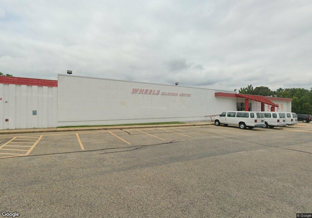
1200 Odenton Rd Odenton, MD 21113
Estimated Value: $3,498,417
--
Bed
--
Bath
28,000
Sq Ft
$125/Sq Ft
Est. Value
About This Home
This home is located at 1200 Odenton Rd, Odenton, MD 21113 and is currently estimated at $3,498,417, approximately $124 per square foot. 1200 Odenton Rd is a home located in Anne Arundel County with nearby schools including Odenton Elementary School, Arundel Middle School, and Arundel High School.
Ownership History
Date
Name
Owned For
Owner Type
Purchase Details
Closed on
Aug 21, 2025
Sold by
Axle Inc
Bought by
All Skate Forward Llc
Current Estimated Value
Home Financials for this Owner
Home Financials are based on the most recent Mortgage that was taken out on this home.
Original Mortgage
$2,480,000
Outstanding Balance
$2,477,861
Interest Rate
6.74%
Mortgage Type
New Conventional
Estimated Equity
$1,020,556
Purchase Details
Closed on
Nov 16, 1998
Sold by
Odenton Shopping Cntr Ltd Ptnshp
Bought by
Axle Inc
Create a Home Valuation Report for This Property
The Home Valuation Report is an in-depth analysis detailing your home's value as well as a comparison with similar homes in the area
Home Values in the Area
Average Home Value in this Area
Purchase History
| Date | Buyer | Sale Price | Title Company |
|---|---|---|---|
| All Skate Forward Llc | $3,100,000 | First American Title Insurance | |
| Axle Inc | $1,000,000 | -- |
Source: Public Records
Mortgage History
| Date | Status | Borrower | Loan Amount |
|---|---|---|---|
| Open | All Skate Forward Llc | $2,480,000 |
Source: Public Records
Tax History Compared to Growth
Tax History
| Year | Tax Paid | Tax Assessment Tax Assessment Total Assessment is a certain percentage of the fair market value that is determined by local assessors to be the total taxable value of land and additions on the property. | Land | Improvement |
|---|---|---|---|---|
| 2025 | $39,756 | $3,276,000 | $1,398,600 | $1,877,400 |
| 2024 | $39,756 | $3,713,800 | $0 | $0 |
| 2023 | $40,435 | $3,598,300 | $0 | $0 |
| 2022 | $37,482 | $3,482,800 | $1,554,000 | $1,928,800 |
| 2021 | $72,037 | $3,342,700 | $0 | $0 |
| 2020 | $34,581 | $3,202,600 | $0 | $0 |
| 2019 | $33,148 | $3,062,500 | $1,665,000 | $1,397,500 |
| 2018 | $29,430 | $2,902,367 | $0 | $0 |
| 2017 | $30,340 | $2,875,567 | $0 | $0 |
| 2016 | -- | $2,582,100 | $0 | $0 |
| 2015 | -- | $2,487,733 | $0 | $0 |
| 2014 | -- | $2,393,367 | $0 | $0 |
Source: Public Records
Map
Nearby Homes
- 488 Bruce Ave
- 654 Lions Gate Ln
- 604 Rolling Hill Walk Unit 104
- 604 Rolling Hill Walk Unit 103
- 602 Moonglow Rd Unit 304
- 602 Moonglow Rd Unit 202
- 600 Moonglow Rd Unit 302
- 1230 Breitwert Ave
- 608 Rolling Hill Walk Unit 304
- 546 Greencrest Ln
- 0 Odenton Rd
- 508 Greencrest Ln
- 1536 Winfields Ln
- 530 Rita Dr
- 521 Realm Ct E Unit 11-68
- 519 Realm Ct E
- 560 Edwards Dr
- 1515 Romeo Ln
- 1501 King Philip Cir
- 357 Council Oak Dr
- 481 Bruce Ave Unit 2
- 481 Bruce Ave
- 480 Bruce Ave
- 483 Bruce Ave
- 482 Bruce Ave
- 481 King Malcolm Ave
- 485 Bruce Ave
- 1183 Annapolis Rd
- 484 Bruce Ave
- 483 King Malcolm Ave
- 1185 Annapolis Rd
- 487 Bruce Ave
- 485 King Malcolm Ave
- 486 Bruce Ave
- 1212 Odenton Rd
- 1222 Oleander Way
- 1181 Annapolis Rd
- 1147 Odenton Rd
- 489 Bruce Ave
- 487 King Malcolm Ave