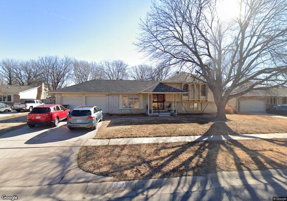
1200 S Apache Dr Wichita, KS 67207
Eastridge NeighborhoodEstimated Value: $224,000 - $227,436
4
Beds
2
Baths
2,382
Sq Ft
$95/Sq Ft
Est. Value
About This Home
This home is located at 1200 S Apache Dr, Wichita, KS 67207 and is currently estimated at $225,718, approximately $94 per square foot. 1200 S Apache Dr is a home located in Sedgwick County with nearby schools including Clark Elementary School, Curtis Middle School, and Wichita Southeast High School.
Ownership History
Date
Name
Owned For
Owner Type
Purchase Details
Closed on
Dec 29, 2022
Sold by
Owens Daniel G
Bought by
Trementozzi Heather
Current Estimated Value
Home Financials for this Owner
Home Financials are based on the most recent Mortgage that was taken out on this home.
Original Mortgage
$189,504
Outstanding Balance
$183,449
Interest Rate
6.42%
Estimated Equity
$42,269
Purchase Details
Closed on
Jun 4, 1998
Sold by
Waldrip Floyd W and Waldrip Mary Ella
Bought by
Waldrip Mary Ella and Waldrip Floyd W
Create a Home Valuation Report for This Property
The Home Valuation Report is an in-depth analysis detailing your home's value as well as a comparison with similar homes in the area
Home Values in the Area
Average Home Value in this Area
Purchase History
| Date | Buyer | Sale Price | Title Company |
|---|---|---|---|
| Trementozzi Heather | -- | Kansas Secured Title | |
| Waldrip Mary Ella | -- | -- |
Source: Public Records
Mortgage History
| Date | Status | Borrower | Loan Amount |
|---|---|---|---|
| Open | Trementozzi Heather | $189,504 |
Source: Public Records
Tax History Compared to Growth
Tax History
| Year | Tax Paid | Tax Assessment Tax Assessment Total Assessment is a certain percentage of the fair market value that is determined by local assessors to be the total taxable value of land and additions on the property. | Land | Improvement |
|---|---|---|---|---|
| 2025 | $2,766 | $26,472 | $4,048 | $22,424 |
| 2023 | $2,766 | $23,621 | $2,484 | $21,137 |
| 2022 | $2,261 | $20,367 | $2,346 | $18,021 |
| 2021 | $2,194 | $19,217 | $2,346 | $16,871 |
| 2020 | $2,075 | $18,124 | $2,346 | $15,778 |
| 2019 | $1,997 | $17,423 | $2,346 | $15,077 |
| 2018 | $1,905 | $16,595 | $1,829 | $14,766 |
| 2017 | $1,847 | $0 | $0 | $0 |
| 2016 | $1,772 | $0 | $0 | $0 |
| 2015 | $1,759 | $0 | $0 | $0 |
| 2014 | $1,723 | $0 | $0 | $0 |
Source: Public Records
Map
Nearby Homes
- 1221 S Governeour Rd
- 1205 S Governeour Rd
- 1123 S Woodlawn Blvd
- 6163 E Boston St
- 1664 Windsor St
- 1033 S Doreen St
- 1134 S Fabrique Dr
- 1038 S Fabrique Dr
- 1821 S Woodlawn Blvd
- 807 San Pablo St
- 930 Lexington Rd
- 1707 Drollinger St
- 709 S Drury Ln
- 650 S Drury Ln
- 1737 Drollinger St
- 626 S Drury Ln
- 747 S Eastridge St
- 7915 E Watson Ln
- 1250 S Christine St
- 6605 & 6607 E Cottonwood
- 1140 S Apache Dr
- 1204 S Apache Dr
- 1209 S Governeour Rd
- 1201 S Apache Dr
- 1201 S Governeour Rd
- 1139 S Apache Dr
- 1208 S Apache Dr
- 1205 S Apache Dr
- 1215 S Governeour Rd
- 1215 S Governeour Rd Unit 1217 S Governeour
- 1215 S Governeour Rd Unit 1217 S Governeour Rd
- 1147 S Royal Rd
- 1209 S Apache Dr
- 1135 S Apache Dr
- 6804 E Grand St
- 1132 S Apache Dr
- 1221 S Governeour Rd Unit 1223 S. Governeour
- 1221 S Governeour Rd Unit 1223 S. Governeour R
- 1200 S Barlow St
- 1223 S Governeour Rd