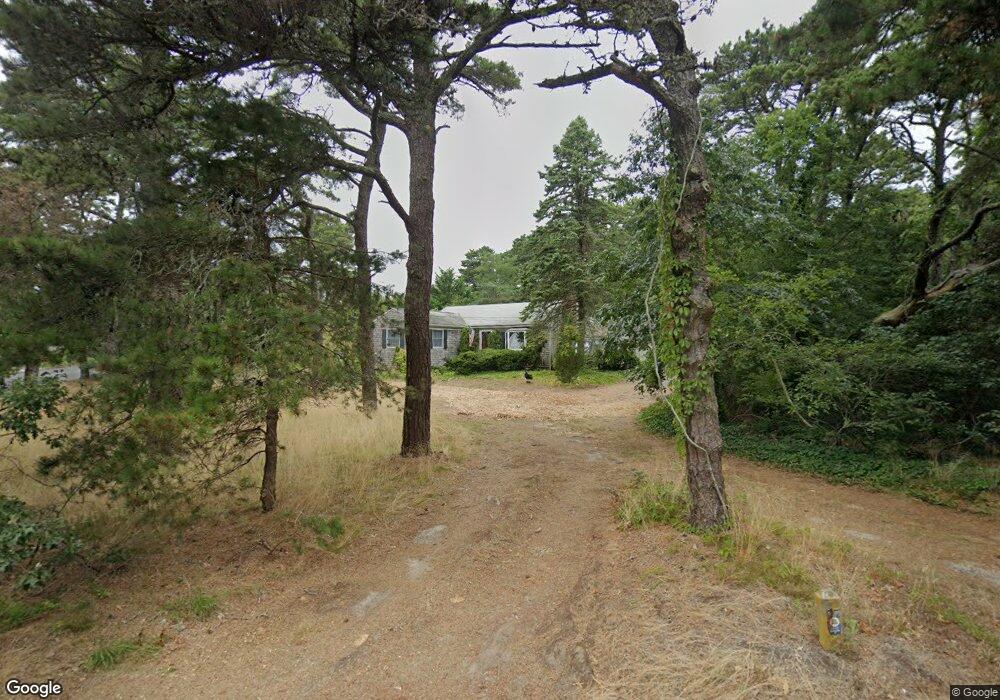
1200 Samoset Rd Eastham, MA 02642
Estimated Value: $624,000 - $707,000
3
Beds
1
Bath
1,088
Sq Ft
$611/Sq Ft
Est. Value
About This Home
This home is located at 1200 Samoset Rd, Eastham, MA 02642 and is currently estimated at $664,766, approximately $610 per square foot. 1200 Samoset Rd is a home located in Barnstable County with nearby schools including Eastham Elementary School, Nauset Regional Middle School, and Nauset Regional High School.
Ownership History
Date
Name
Owned For
Owner Type
Purchase Details
Closed on
Jan 25, 2012
Sold by
Buffington Jonathan P
Bought by
Buffington Joanna and Buffington Jonathan P
Current Estimated Value
Purchase Details
Closed on
Oct 31, 2006
Sold by
Buffington Judith H
Bought by
Buffington Jonathan P
Purchase Details
Closed on
Sep 30, 1994
Sold by
Buffington Judith H
Bought by
Embry Virginia B
Purchase Details
Closed on
May 24, 1993
Sold by
Buffington Joanna
Bought by
Buffington James and Buffington Judith
Create a Home Valuation Report for This Property
The Home Valuation Report is an in-depth analysis detailing your home's value as well as a comparison with similar homes in the area
Home Values in the Area
Average Home Value in this Area
Purchase History
| Date | Buyer | Sale Price | Title Company |
|---|---|---|---|
| Buffington Joanna | -- | -- | |
| Buffington Jonathan P | $11,000 | -- | |
| Embry Virginia B | $197,000 | -- | |
| Buffington James | $92,000 | -- |
Source: Public Records
Tax History
| Year | Tax Paid | Tax Assessment Tax Assessment Total Assessment is a certain percentage of the fair market value that is determined by local assessors to be the total taxable value of land and additions on the property. | Land | Improvement |
|---|---|---|---|---|
| 2025 | $4,568 | $592,500 | $323,800 | $268,700 |
| 2024 | $4,032 | $575,200 | $314,300 | $260,900 |
| 2023 | $3,752 | $518,200 | $291,100 | $227,100 |
| 2022 | $3,625 | $422,500 | $259,900 | $162,600 |
| 2021 | $18 | $383,900 | $236,200 | $147,700 |
| 2020 | $18 | $379,200 | $241,100 | $138,100 |
| 2019 | $3,038 | $368,200 | $234,100 | $134,100 |
| 2018 | $2,985 | $357,500 | $227,300 | $130,200 |
| 2017 | $2,769 | $350,500 | $222,800 | $127,700 |
| 2016 | $2,807 | $377,300 | $251,800 | $125,500 |
| 2015 | $3,023 | $425,800 | $303,900 | $121,900 |
Source: Public Records
Map
Nearby Homes
- 20 Billingsgate Ave
- 10 Cartway N
- 600 Kingsbury Beach Rd
- 55 Grandfathers Way
- 2705 State Hwy
- 2705 State Hwy Unit 1-8
- 330 Hay Rd
- 40 Bayview Rd
- 82 Old Orchard Rd
- 1061 State Hwy Unit 4
- 1061 State Hwy Unit 1061
- 255 Massasoit Rd
- 339 Dyer Prince Rd
- 25 Twin Rocks Dr
- 70 Deerfield Ln
- 85 Huckleberry Ln
- 20 Kittiwake Ln
- 25 Forrest Ave
- 10 Bradford Ln
- 320 State Hwy
- 920 Herring Brook Rd
- 15 Dirks Dr
- 1150 Samoset Rd
- 1155 Samoset Rd
- 905 Herring Brook Rd
- 905 Herring Brook Rd
- 925 Herring Brook Rd
- 895 Herring Brook Rd
- 25 Dirks Dr
- 1135 Samoset Rd
- 10 Dirks Dr
- 930 Herring Brook Rd
- 1250 Samoset Rd
- 20 Dirks Dr
- 20 Priscilla Cir
- 850 Herring Brook Rd
- 850 Herring Brook
- 1145 Samoset Rd
- 1120 Samoset Rd
- 875 Herring Brook Rd
Your Personal Tour Guide
Ask me questions while you tour the home.