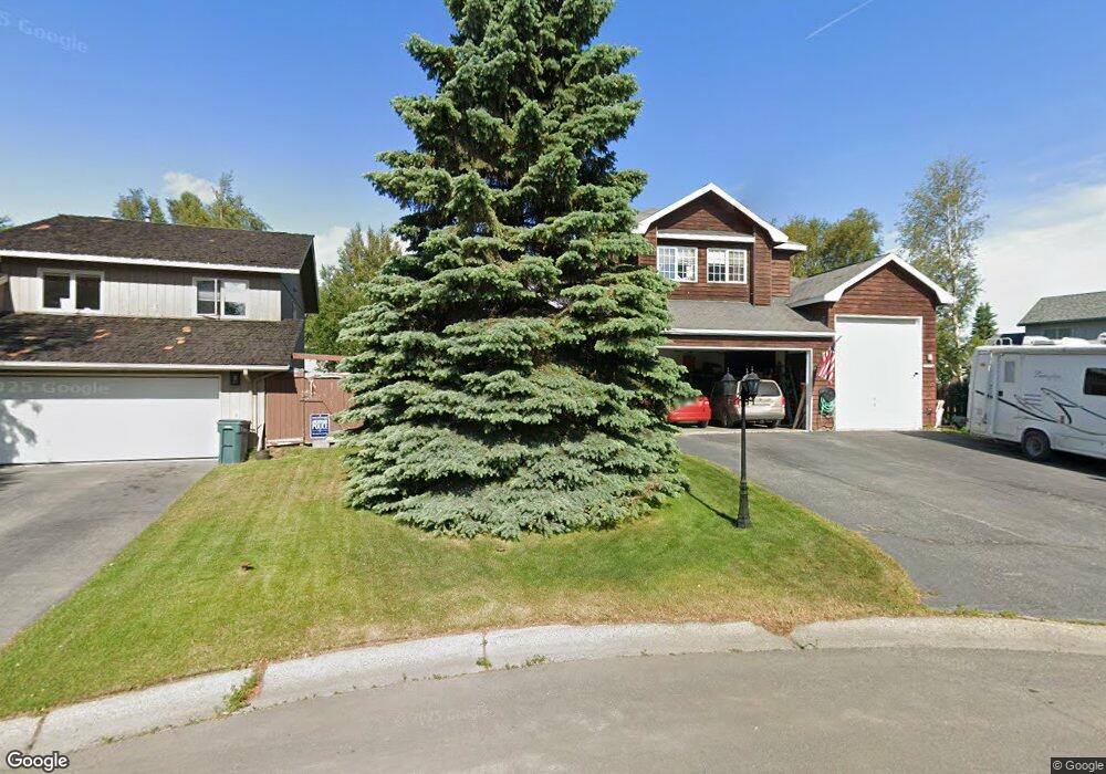
12000 Shore Cir Anchorage, AK 99515
Bayshore-Klatt NeighborhoodEstimated Value: $392,000 - $793,000
3
Beds
4
Baths
3,800
Sq Ft
$162/Sq Ft
Est. Value
About This Home
This home is located at 12000 Shore Cir, Anchorage, AK 99515 and is currently estimated at $615,435, approximately $161 per square foot. 12000 Shore Cir is a home located in Anchorage Municipality with nearby schools including Klatt Elementary School, Goldenview Middle School, and South Anchorage High School.
Ownership History
Date
Name
Owned For
Owner Type
Purchase Details
Closed on
Apr 29, 2008
Sold by
Liberty Jr John C and Liberty Gail I
Bought by
Hough Robert Mark and Hough Cynthia R
Current Estimated Value
Home Financials for this Owner
Home Financials are based on the most recent Mortgage that was taken out on this home.
Original Mortgage
$608,000
Outstanding Balance
$383,631
Interest Rate
5.81%
Mortgage Type
Seller Take Back
Estimated Equity
$231,804
Purchase Details
Closed on
Sep 23, 2005
Sold by
Liberty Jr John C and Liberty Gail I
Bought by
Liberty Jr John C and Liberty Gail I
Create a Home Valuation Report for This Property
The Home Valuation Report is an in-depth analysis detailing your home's value as well as a comparison with similar homes in the area
Home Values in the Area
Average Home Value in this Area
Purchase History
| Date | Buyer | Sale Price | Title Company |
|---|---|---|---|
| Hough Robert Mark | -- | Sta | |
| Liberty Jr John C | -- | -- |
Source: Public Records
Mortgage History
| Date | Status | Borrower | Loan Amount |
|---|---|---|---|
| Open | Hough Robert Mark | $608,000 |
Source: Public Records
Tax History Compared to Growth
Tax History
| Year | Tax Paid | Tax Assessment Tax Assessment Total Assessment is a certain percentage of the fair market value that is determined by local assessors to be the total taxable value of land and additions on the property. | Land | Improvement |
|---|---|---|---|---|
| 2025 | $7,089 | $710,900 | $154,600 | $556,300 |
| 2024 | $7,089 | $664,100 | $136,800 | $527,300 |
| 2023 | $10,005 | $587,500 | $130,300 | $457,200 |
| 2022 | $6,271 | $572,400 | $130,300 | $442,100 |
| 2021 | $9,659 | $536,000 | $130,300 | $405,700 |
| 2020 | $5,321 | $514,200 | $130,300 | $383,900 |
| 2019 | $5,358 | $527,500 | $130,300 | $397,200 |
| 2018 | $5,237 | $519,300 | $130,300 | $389,000 |
| 2017 | $5,505 | $521,500 | $130,300 | $391,200 |
| 2016 | $6,996 | $548,400 | $130,300 | $418,100 |
| 2015 | $6,996 | $496,000 | $130,300 | $365,700 |
| 2014 | $6,996 | $485,900 | $130,300 | $355,600 |
Source: Public Records
Map
Nearby Homes
- 2534 Ridge Pointe Dr
- 1825 Bellevue Loop
- 2541 Brookstone Loop
- 11351 Discovery View Dr Unit 107A
- L8 B8 Spartan Dr
- 11038 Northfleet Dr
- 2935 Seclusion Cove Dr Unit 54
- 2356 Leander Cir
- 11050 Retreat Cir
- 2101 Revere Cir
- 840 Allison Cir
- 900 Botanical Heights Cir
- 12130 Timberlane Dr
- 2350 Ariel Cir
- 3008 Eaglek Bay Cir
- 2301 Harbor Landing Cir
- L5 B8 Spartan Dr
- L6 B8 Spartan Dr
- 321 Ellen Cir
- 3211 Amber Bay Loop
- 12010 Shore Cir
- 2222 Hanning Bay Cir
- 2230 Hanning Bay Cir
- 2214 Hanning Bay Cir
- 12001 Victor Rd
- 2238 Hanning Bay Cir
- 12001 Shore Cir
- 2206 Hanning Bay Cir
- 2211 Shore Dr
- L54 B2 Hanning Bay Cir
- 12011 Shore Cir
- 2246 Hanning Bay Cir
- 2142 Hanning Bay Cir
- 2306 Leary Bay Cir
- 12021 Shore Cir
- 2134 Hanning Bay Cir
- 2221 Hanning Bay Cir
- 2233 Hanning Bay Cir
- 2209 Hanning Bay Cir
- 12010 Forelands Cir