12000 W 151st Ave Cedar Lake, IN 46303
West Creek NeighborhoodEstimated Value: $389,000 - $699,943
6
Beds
3
Baths
3,662
Sq Ft
$158/Sq Ft
Est. Value
About This Home
This home is located at 12000 W 151st Ave, Cedar Lake, IN 46303 and is currently estimated at $579,736, approximately $158 per square foot. 12000 W 151st Ave is a home with nearby schools including Lowell Middle School and Lowell Senior High School.
Ownership History
Date
Name
Owned For
Owner Type
Purchase Details
Closed on
Mar 11, 2020
Sold by
Blink Thomas M and Blink Debra J
Bought by
The Blink Family Trust
Current Estimated Value
Purchase Details
Closed on
Apr 9, 2012
Sold by
Blink Tom and Blink Debbie
Bought by
Blink Thomas M and Blink Debra J
Home Financials for this Owner
Home Financials are based on the most recent Mortgage that was taken out on this home.
Original Mortgage
$235,500
Interest Rate
3.91%
Mortgage Type
New Conventional
Create a Home Valuation Report for This Property
The Home Valuation Report is an in-depth analysis detailing your home's value as well as a comparison with similar homes in the area
Home Values in the Area
Average Home Value in this Area
Purchase History
| Date | Buyer | Sale Price | Title Company |
|---|---|---|---|
| The Blink Family Trust | -- | None Available | |
| Blink Thomas M | -- | Barrister Title |
Source: Public Records
Mortgage History
| Date | Status | Borrower | Loan Amount |
|---|---|---|---|
| Closed | Blink Thomas M | $235,500 |
Source: Public Records
Tax History Compared to Growth
Tax History
| Year | Tax Paid | Tax Assessment Tax Assessment Total Assessment is a certain percentage of the fair market value that is determined by local assessors to be the total taxable value of land and additions on the property. | Land | Improvement |
|---|---|---|---|---|
| 2024 | $11,352 | $604,000 | $150,000 | $454,000 |
| 2023 | $6,578 | $602,500 | $150,000 | $452,500 |
| 2022 | $6,892 | $588,400 | $150,000 | $438,400 |
| 2021 | $4,898 | $457,700 | $76,400 | $381,300 |
| 2020 | $4,595 | $444,800 | $76,400 | $368,400 |
| 2019 | $4,569 | $420,500 | $76,400 | $344,100 |
| 2018 | $4,419 | $407,800 | $76,400 | $331,400 |
| 2017 | $3,908 | $359,300 | $76,400 | $282,900 |
| 2016 | $3,936 | $372,300 | $76,400 | $295,900 |
| 2014 | $3,914 | $370,000 | $76,400 | $293,600 |
| 2013 | $3,973 | $360,000 | $76,400 | $283,600 |
Source: Public Records
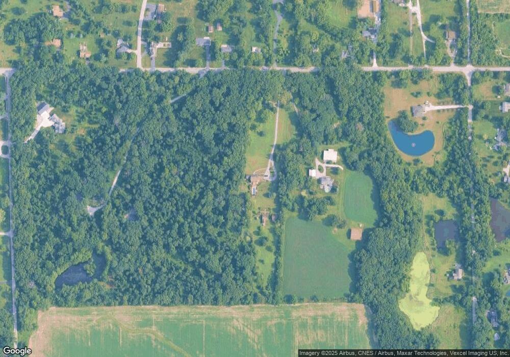
Map
Nearby Homes
- 12750 W 151st Ave
- 15507 Magoun St Unit 10
- 12312 W 157th Ave
- 11525 W 143rd Ave
- 14299 W 153rd Ln
- 12610 W 162nd Ave
- 14486 Clover Ave
- 14396 Clover Ave
- 14846A Carey St Unit A
- 14836A Carey St
- 14826 Carey St Unit A
- 15026 Drummond St
- The Hayes Plan at Lynnsway - The Cottage Homes at Lynnsway
- 14702 Drummond St Unit A
- 14162 Magnolia St
- 14515 Garden Way
- 14250 Heritage Way
- 9814 W 146th Ave
- 14745 Ivy St
- 10421 Paramount Way
- 12235 W 151st Ave Unit 10
- 12261 151st Ave
- 12261 151st Ave
- 12248 W 151st Ave
- 12426 W 151st Ave
- 12226 W 151st Ave Unit 10
- 12208 W 151st Ave Unit 10
- 12458 W 151st Ave Unit 10
- 15097 Belmont Place Unit 10
- 15120 Magoun St
- 15075 Belmont Place Unit 10
- 12200 W 151st Ave
- 12626 W 151st Ave Unit 10
- 12303 W 151st Ave
- 15051 Belmont Place
- 12668 W 151st Ave Unit 10
- 15278 Magoun St
- 12236 W 151st Ave
- 12102 W 151st Ave
- 15025 Belmont Place