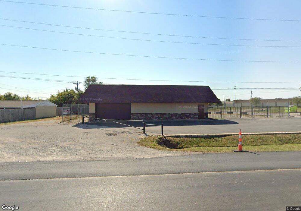
12005 E State Route 350 Kansas City, MO 64138
Little Blue Valley Neighborhood
--
Bed
--
Bath
2,577
Sq Ft
0.47
Acres
About This Home
This home is located at 12005 E State Route 350, Kansas City, MO 64138. 12005 E State Route 350 is a home located in Jackson County with nearby schools including Robinson Elementary School, Raytown Central Middle School, and Lee's Summit Academy.
Ownership History
Date
Name
Owned For
Owner Type
Purchase Details
Closed on
Dec 11, 2014
Sold by
Monopoly Acquisitions Llc
Bought by
X & C Holdings Llc
Home Financials for this Owner
Home Financials are based on the most recent Mortgage that was taken out on this home.
Original Mortgage
$31,000
Outstanding Balance
$23,807
Interest Rate
3.99%
Mortgage Type
New Conventional
Purchase Details
Closed on
May 21, 2013
Sold by
Jackson Coutny Administrators
Bought by
Monopoly Acquisitions Llc
Create a Home Valuation Report for This Property
The Home Valuation Report is an in-depth analysis detailing your home's value as well as a comparison with similar homes in the area
Home Values in the Area
Average Home Value in this Area
Purchase History
| Date | Buyer | Sale Price | Title Company |
|---|---|---|---|
| X & C Holdings Llc | -- | Chicago Title Insurance Co | |
| Monopoly Acquisitions Llc | $19,422 | None Available |
Source: Public Records
Mortgage History
| Date | Status | Borrower | Loan Amount |
|---|---|---|---|
| Open | X & C Holdings Llc | $31,000 |
Source: Public Records
Tax History Compared to Growth
Tax History
| Year | Tax Paid | Tax Assessment Tax Assessment Total Assessment is a certain percentage of the fair market value that is determined by local assessors to be the total taxable value of land and additions on the property. | Land | Improvement |
|---|---|---|---|---|
| 2025 | $3,692 | $72,160 | $54,176 | $17,984 |
| 2024 | $3,671 | $35,200 | $26,656 | $8,544 |
| 2023 | $3,671 | $35,200 | $26,656 | $8,544 |
| 2022 | $3,039 | $28,160 | $21,328 | $6,832 |
| 2021 | $3,039 | $28,160 | $21,328 | $6,832 |
| 2020 | $3,046 | $27,936 | $21,328 | $6,608 |
| 2019 | $2,996 | $27,936 | $21,328 | $6,608 |
| 2018 | $1,857 | $17,376 | $17,056 | $320 |
| 2017 | $1,428 | $17,376 | $17,056 | $320 |
| 2016 | $1,428 | $13,440 | $13,120 | $320 |
| 2014 | -- | $6,883 | $6,563 | $320 |
Source: Public Records
Map
Nearby Homes
- 8001 Westridge Rd Unit 203
- 11909 E 85th St
- 11911 E 85th St
- 12000 E 78th Terrace
- 8531 Vassar Ave
- 8324 Pershing Rd
- 7809 Woodson Rd
- 7950/7951/7902 Frost Rd
- 11309 E 78th Terrace
- 8505 Pershing Rd
- 12516 E 86th Terrace
- 11308 E 78th St
- 12611 E 86th Terrace
- 7539 Westridge Rd
- 11307 E 77th Terrace
- 8711 Crysler Ave
- 10908 E 81st St
- 8104 Noland Rd
- 7720 Crisp Ave
- 11211 E 77th St
- 12005 E Blue Pkwy
- 11900 E M 350 Hwy
- 11900 E M 350 Hwy
- 11900 E State Route 350
- 11705 E State Route 350
- 11824 E 83rd St
- 11809 E 83rd St
- 8001 Westridge Rd
- 8001 Westridge Rd
- 8001 Westridge Rd
- 8001 Westridge Rd
- 8001 Westridge Rd
- 8001 Westridge Rd
- 8001 Westridge Rd Unit 208
- 8001 Westridge Rd Unit 111
- 8001 Westridge Rd Unit 311
- 8001 Westridge Rd Unit 308
- 8001 Westridge Rd Unit 202
- 8001 Westridge Rd Unit 102
- 8001 Westridge Rd Unit 304