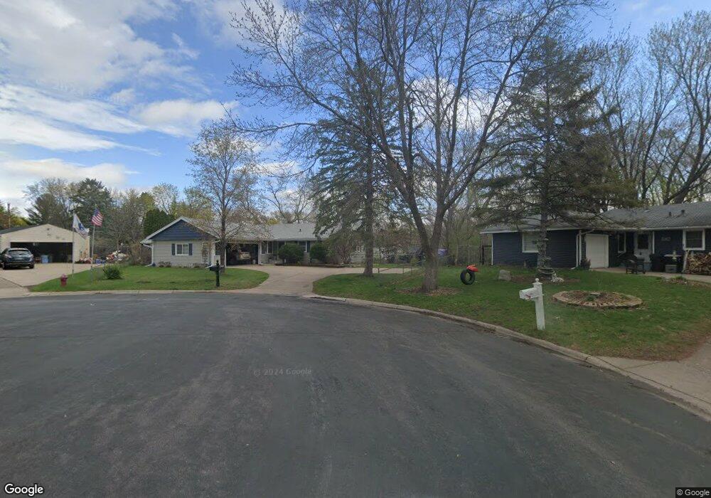
12007 Zion St NW Coon Rapids, MN 55433
Estimated Value: $357,000 - $379,000
4
Beds
3
Baths
1,186
Sq Ft
$309/Sq Ft
Est. Value
About This Home
This home is located at 12007 Zion St NW, Coon Rapids, MN 55433 and is currently estimated at $366,783, approximately $309 per square foot. 12007 Zion St NW is a home located in Anoka County with nearby schools including Lucile Bruner Elementary School, Morris Bye Elementary School, and Laughlin Junior/Senior High School.
Ownership History
Date
Name
Owned For
Owner Type
Purchase Details
Closed on
Dec 2, 2016
Sold by
Lero Rachel M and Lero Anthony
Bought by
Tracy Meghan G
Current Estimated Value
Purchase Details
Closed on
Nov 22, 2004
Sold by
Finnestad Kris E and Finnestad Denise L
Bought by
Blomgren Rachael M
Purchase Details
Closed on
Apr 24, 1998
Sold by
Lyon Lynette Lee
Bought by
Finnestad Kris E and Finnestad Denise L
Create a Home Valuation Report for This Property
The Home Valuation Report is an in-depth analysis detailing your home's value as well as a comparison with similar homes in the area
Home Values in the Area
Average Home Value in this Area
Purchase History
| Date | Buyer | Sale Price | Title Company |
|---|---|---|---|
| Tracy Meghan G | $39,833 | First American Title | |
| Blomgren Rachael M | $213,000 | -- | |
| Finnestad Kris E | $120,000 | -- |
Source: Public Records
Tax History Compared to Growth
Tax History
| Year | Tax Paid | Tax Assessment Tax Assessment Total Assessment is a certain percentage of the fair market value that is determined by local assessors to be the total taxable value of land and additions on the property. | Land | Improvement |
|---|---|---|---|---|
| 2025 | $3,582 | $344,400 | $96,600 | $247,800 |
| 2024 | $3,582 | $342,600 | $100,100 | $242,500 |
| 2023 | $3,253 | $330,400 | $87,400 | $243,000 |
| 2022 | $3,065 | $333,100 | $77,100 | $256,000 |
| 2021 | $2,933 | $281,100 | $77,100 | $204,000 |
| 2020 | $2,797 | $264,000 | $71,300 | $192,700 |
| 2019 | $2,598 | $243,200 | $72,000 | $171,200 |
| 2018 | $2,513 | $221,300 | $0 | $0 |
| 2017 | $2,154 | $208,700 | $0 | $0 |
| 2016 | $2,161 | $163,000 | $0 | $0 |
| 2015 | $2,078 | $163,000 | $54,000 | $109,000 |
| 2014 | -- | $137,700 | $38,300 | $99,400 |
Source: Public Records
Map
Nearby Homes
- 12019 Zion St NW
- 11835 Crocus St NW
- 11809 Zion St NW
- 11749 Crooked Lake Blvd NW
- 3074 121st Ave NW
- 3020 117th Ave NW
- 12189 Lily St NW
- 2675 128th Ave NW
- 2186 125th Ln NW
- 2687 128th Ave NW
- 2068 124th Ln NW
- 2147 125th Ln NW
- 2851 113th Ave NW
- 12597 Thrush St NW
- 11409 Quinn St NW
- 1830 121st Ln NW Unit 611
- 11444 Hanson Blvd NW
- 11984 Orchid St NW
- 11424 Hanson Blvd NW
- 12760 Raven St NW
- 12013 Zion St NW
- 12001 Zion St NW
- 2600 Carlson Dr NW
- 2606 Carlson Dr NW
- 11971 Zion St NW
- 12027 Crocus St NW
- 2612 Carlson Dr NW
- 12039 Crocus St NW
- 12051 Crocus St NW
- 12025 Zion St NW
- 12063 Crocus St NW
- 2618 Carlson Dr NW
- 11972 Zion St NW
- 11980 Zion St NW
- 11957 Crocus St NW
- 11964 Zion St NW
- 12032 Crocus St NW
- 12012 Crocus St NW
- 12024 Crocus St NW
- 2619 Carlson Dr NW