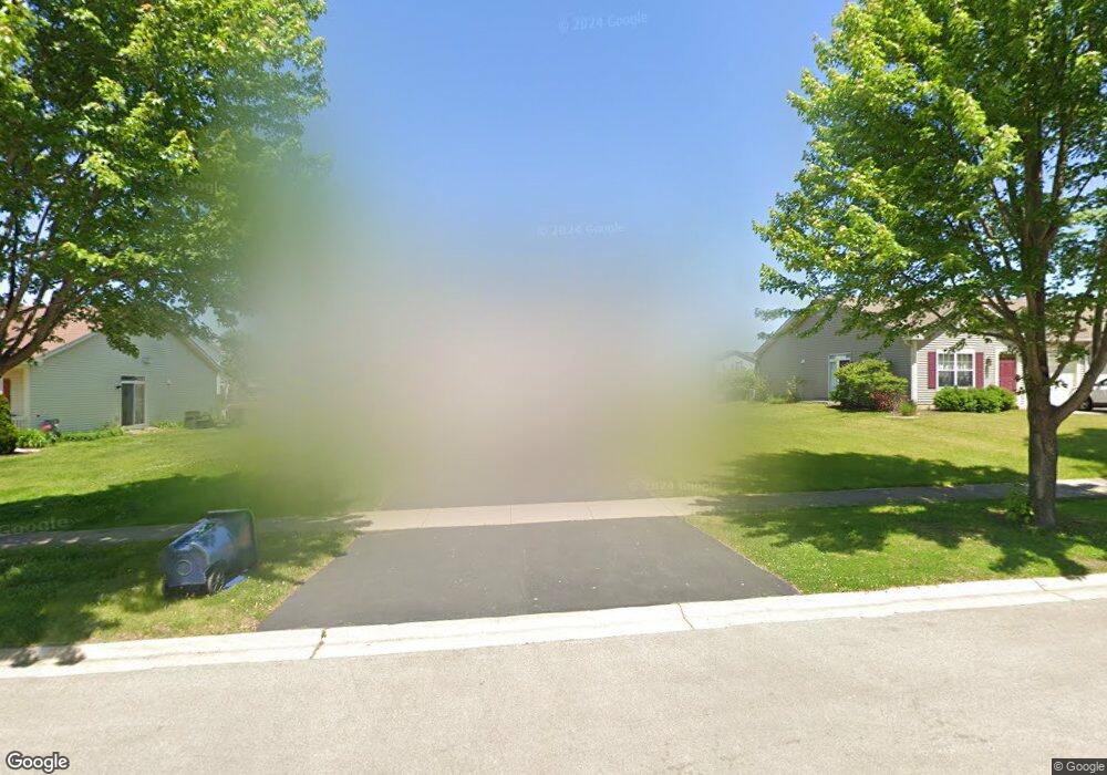
1201 Burns Ln Unit 1 Minooka, IL 60447
Estimated Value: $251,000 - $283,000
3
Beds
3
Baths
1,716
Sq Ft
$155/Sq Ft
Est. Value
About This Home
This home is located at 1201 Burns Ln Unit 1, Minooka, IL 60447 and is currently estimated at $265,638, approximately $154 per square foot. 1201 Burns Ln Unit 1 is a home located in Grundy County with nearby schools including Minooka Primary Center, Aux Sable Elementary School, and Minooka Junior High School.
Ownership History
Date
Name
Owned For
Owner Type
Purchase Details
Closed on
Aug 2, 2017
Sold by
Banas Donald J
Bought by
Clayton Roberto
Current Estimated Value
Home Financials for this Owner
Home Financials are based on the most recent Mortgage that was taken out on this home.
Original Mortgage
$155,200
Outstanding Balance
$130,092
Interest Rate
4.13%
Mortgage Type
New Conventional
Estimated Equity
$135,546
Create a Home Valuation Report for This Property
The Home Valuation Report is an in-depth analysis detailing your home's value as well as a comparison with similar homes in the area
Home Values in the Area
Average Home Value in this Area
Purchase History
| Date | Buyer | Sale Price | Title Company |
|---|---|---|---|
| Clayton Roberto | $161,500 | Fidelity National Title |
Source: Public Records
Mortgage History
| Date | Status | Borrower | Loan Amount |
|---|---|---|---|
| Open | Clayton Roberto | $155,200 |
Source: Public Records
Tax History Compared to Growth
Tax History
| Year | Tax Paid | Tax Assessment Tax Assessment Total Assessment is a certain percentage of the fair market value that is determined by local assessors to be the total taxable value of land and additions on the property. | Land | Improvement |
|---|---|---|---|---|
| 2024 | $5,462 | $68,099 | $8,184 | $59,915 |
| 2023 | $4,979 | $62,072 | $7,460 | $54,612 |
| 2022 | $4,148 | $57,714 | $6,936 | $50,778 |
| 2021 | $3,962 | $54,633 | $6,566 | $48,067 |
| 2020 | $3,855 | $52,261 | $6,281 | $45,980 |
| 2019 | $3,625 | $48,390 | $5,816 | $42,574 |
| 2018 | $3,391 | $44,687 | $5,751 | $38,936 |
| 2017 | $3,281 | $42,673 | $5,492 | $37,181 |
| 2016 | $3,050 | $40,057 | $5,155 | $34,902 |
| 2015 | $2,308 | $36,412 | $4,686 | $31,726 |
| 2014 | $1,778 | $27,499 | $5,575 | $21,924 |
| 2013 | $1,831 | $27,870 | $5,650 | $22,220 |
Source: Public Records
Map
Nearby Homes
- 1118 Burns Ln
- 1224 Burns Ln
- 825 Grant Dr
- 1941 Waters Edge Dr
- 1935 Waters Edge Dr
- 802 Joanne Dr
- The Rosewood Plan at The Preserve At Heritage Woods - The Preserve at Heritage Woods
- The Lakewood Plan at The Preserve At Heritage Woods - The Preserve at Heritage Woods
- The Cedarwood Plan at The Preserve At Heritage Woods - The Preserve at Heritage Woods
- The Beechwood Plan at The Preserve At Heritage Woods - The Preserve at Heritage Woods
- 713 Joanne Dr
- 703 Stillwater Ct
- 2080 Waters Edge Dr
- 1404 Plantain Dr
- 605 High Grove Dr
- 324 Wabena Ct
- 601 Edgewater Dr
- 817 Casey Dr
- 1468 Sedge Pass
- 27410 W Porto Ln
- 1201 Burns Ln
- 1123 Burns Ln
- 1203 Burns Ln
- 1203 Burns Ln Unit 1203
- 1121 Burns Ln Unit 1121
- 1412 Fabiola Ct S
- 1119 Burns Ln
- 1207 Burns Ln
- 1414 Fabiola Ct S
- 1414 Fabiola Ct S Unit SOUTH
- 1209 Burns Ln
- 1117 Burns Ln
- 1410 Fabiola Ct S
- 1415 Fabiola Ct S
- 1204 Burns Ln
- 1204 Burns Ln Unit 2B
- 1200 Burns Ln
- 1202 Burns Ln
- 1206 Burns Ln
- 1408 Fabiola Ct S Unit 1408