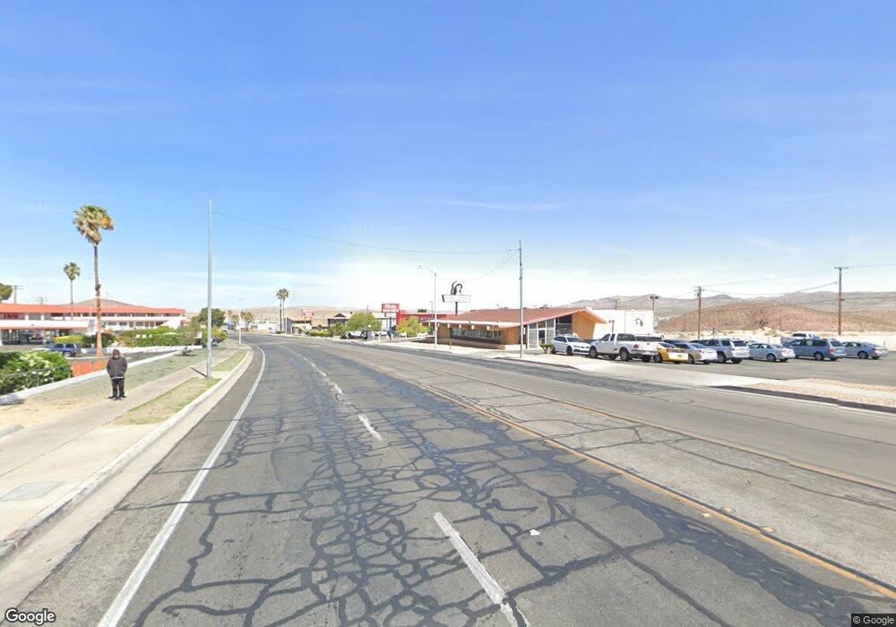
1201 E Main St Barstow, CA 92311
Estimated Value: $1,524,705
Studio
--
Bath
4,237
Sq Ft
$360/Sq Ft
Est. Value
About This Home
This home is located at 1201 E Main St, Barstow, CA 92311 and is currently estimated at $1,524,705, approximately $359 per square foot. 1201 E Main St is a home located in San Bernardino County with nearby schools including Barstow Junior High School, Barstow High School, and Mojave River Academy - Silver Mountain.
Ownership History
Date
Name
Owned For
Owner Type
Purchase Details
Closed on
Jun 10, 2019
Sold by
Aberdrabbo Yousef and Matar Prescellia Sophia George
Bought by
G G L Llc
Current Estimated Value
Home Financials for this Owner
Home Financials are based on the most recent Mortgage that was taken out on this home.
Original Mortgage
$405,000
Outstanding Balance
$356,094
Interest Rate
4.1%
Mortgage Type
Commercial
Estimated Equity
$1,168,611
Purchase Details
Closed on
Jan 30, 2018
Sold by
Abedrabbo Yousef
Bought by
Abedrabbo Yousef and Matar Prescellia Sophia George
Purchase Details
Closed on
Jan 12, 2018
Sold by
Matar Prescellia Sophia George
Bought by
Abedrabbo Yousef
Purchase Details
Closed on
Jan 11, 2018
Sold by
Mark Investment Company Inc
Bought by
Abedrabbo Yousef
Purchase Details
Closed on
Nov 2, 1995
Sold by
Kaiser Ronald G
Bought by
Mark Investment Company Inc
Home Financials for this Owner
Home Financials are based on the most recent Mortgage that was taken out on this home.
Original Mortgage
$404,000
Interest Rate
7.58%
Mortgage Type
Commercial
Create a Home Valuation Report for This Property
The Home Valuation Report is an in-depth analysis detailing your home's value as well as a comparison with similar homes in the area
Home Values in the Area
Average Home Value in this Area
Purchase History
| Date | Buyer | Sale Price | Title Company |
|---|---|---|---|
| G G L Llc | $810,000 | Chicago Title Inland Empire | |
| Abedrabbo Yousef | -- | None Available | |
| Abedrabbo Yousef | -- | Chicago Title Company | |
| Abedrabbo Yousef | $325,000 | Chicago Title Company | |
| Mark Investment Company Inc | $665,000 | Commonwealth Land Title Co |
Source: Public Records
Mortgage History
| Date | Status | Borrower | Loan Amount |
|---|---|---|---|
| Open | G G L Llc | $405,000 | |
| Previous Owner | Mark Investment Company Inc | $404,000 |
Source: Public Records
Tax History
| Year | Tax Paid | Tax Assessment Tax Assessment Total Assessment is a certain percentage of the fair market value that is determined by local assessors to be the total taxable value of land and additions on the property. | Land | Improvement |
|---|---|---|---|---|
| 2025 | $10,544 | $903,571 | $390,432 | $513,139 |
| 2024 | $10,356 | $885,853 | $382,776 | $503,077 |
| 2023 | $10,135 | $868,484 | $375,271 | $493,213 |
| 2022 | $10,092 | $851,455 | $367,913 | $483,542 |
| 2021 | $9,801 | $834,760 | $360,699 | $474,061 |
| 2020 | $9,815 | $826,200 | $357,000 | $469,200 |
| 2019 | $3,865 | $331,500 | $193,800 | $137,700 |
| 2018 | $9,830 | $800,000 | $350,000 | $450,000 |
| 2017 | $18,594 | $951,874 | $458,045 | $493,829 |
| 2016 | $10,718 | $933,210 | $449,064 | $484,146 |
| 2015 | $10,497 | $919,193 | $442,319 | $476,874 |
| 2014 | $10,423 | $901,188 | $433,655 | $467,533 |
Source: Public Records
Map
Nearby Homes
- 541 Frances Dr
- 540 Frances Dr
- 561 Frances Dr
- 610 Agnes Dr
- 621 Stevens Ave
- 620 Kathleen Dr
- 700 Agnes Dr
- 317-319 Melissa Ave
- 0 Unnamed Rd Unit SW25046623
- 601 Lillian Dr
- 660 Kathleen Dr
- 611 Lillian Dr
- 912 Kelly Dr
- 0 E Carmen Dr Unit HD22184292
- 0 Mesa Dr
- 0 Riverside Dr Unit CV25146504
- 820 Lillian Dr
- 616 E White St
- 1429 Mesa Dr
- 21 Riverside Dr
- 1221 E Main St
- 1231 E Main St
- 1231 E Main St
- 1160 Pueblo Dr
- 1037 E Williams St
- 1033 E Williams St
- 1150 Pueblo Dr
- 1045 E Williams St
- 1029 E Williams St
- 1140 Pueblo Dr
- 1025 E Williams St
- 1130 Pueblo Dr
- 1041 E Williams St
- 1120 Pueblo Dr
- 1021 E Williams St
- 1101 E Williams St
- 1243 E Main St
- 1151 Pueblo Dr
- 1110 Pueblo Dr
- 1141 Pueblo Dr
Your Personal Tour Guide
Ask me questions while you tour the home.