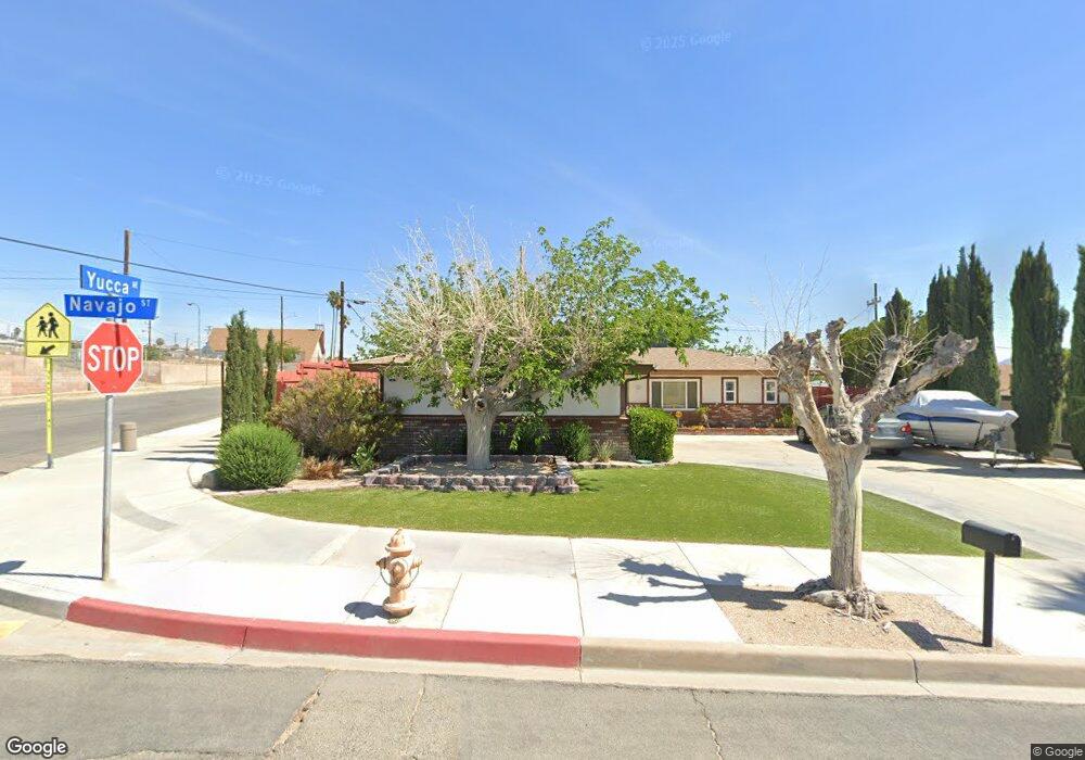
1201 E Navajo St Barstow, CA 92311
Estimated Value: $257,646 - $282,000
4
Beds
2
Baths
1,332
Sq Ft
$198/Sq Ft
Est. Value
About This Home
This home is located at 1201 E Navajo St, Barstow, CA 92311 and is currently estimated at $264,162, approximately $198 per square foot. 1201 E Navajo St is a home located in San Bernardino County with nearby schools including Barstow Junior High School, Barstow High School, and Mojave River Academy - Silver Mountain.
Ownership History
Date
Name
Owned For
Owner Type
Purchase Details
Closed on
Oct 1, 2019
Sold by
Lewis Tom J and Lewis Trust
Bought by
Watson Michael S
Current Estimated Value
Home Financials for this Owner
Home Financials are based on the most recent Mortgage that was taken out on this home.
Original Mortgage
$171,830
Outstanding Balance
$150,532
Interest Rate
3.5%
Mortgage Type
FHA
Estimated Equity
$113,630
Purchase Details
Closed on
May 18, 1999
Sold by
Jubile Jim T
Bought by
Tcm Lewis Enterprises
Create a Home Valuation Report for This Property
The Home Valuation Report is an in-depth analysis detailing your home's value as well as a comparison with similar homes in the area
Home Values in the Area
Average Home Value in this Area
Purchase History
| Date | Buyer | Sale Price | Title Company |
|---|---|---|---|
| Watson Michael S | $175,000 | First American Title Company | |
| Tcm Lewis Enterprises | -- | Stewart Title |
Source: Public Records
Mortgage History
| Date | Status | Borrower | Loan Amount |
|---|---|---|---|
| Open | Watson Michael S | $171,830 |
Source: Public Records
Tax History
| Year | Tax Paid | Tax Assessment Tax Assessment Total Assessment is a certain percentage of the fair market value that is determined by local assessors to be the total taxable value of land and additions on the property. | Land | Improvement |
|---|---|---|---|---|
| 2025 | $2,183 | $191,388 | $38,278 | $153,110 |
| 2024 | $2,144 | $187,635 | $37,527 | $150,108 |
| 2023 | $2,099 | $183,956 | $36,791 | $147,165 |
| 2022 | $2,090 | $180,349 | $36,070 | $144,279 |
| 2021 | $2,030 | $176,813 | $35,363 | $141,450 |
| 2020 | $2,033 | $175,000 | $35,000 | $140,000 |
| 2019 | $601 | $53,745 | $8,743 | $45,002 |
| 2018 | $631 | $52,692 | $8,572 | $44,120 |
| 2017 | $570 | $51,659 | $8,404 | $43,255 |
| 2016 | $564 | $50,646 | $8,239 | $42,407 |
| 2015 | $552 | $49,885 | $8,115 | $41,770 |
| 2014 | $548 | $48,908 | $7,956 | $40,952 |
Source: Public Records
Map
Nearby Homes
- 1148 E Virginia Way
- 700 Agnes Dr
- 621 Stevens Ave
- 610 Agnes Dr
- 937 E Elizabeth St
- 928 Kelly Dr
- 561 Frances Dr
- 912 Kelly Dr
- 541 Frances Dr
- 905 E Elizabeth St
- 540 Frances Dr
- 917 Ann St
- 660 Kathleen Dr
- 820 Lillian Dr
- 611 Lillian Dr
- 620 Kathleen Dr
- 312 Grove Ave
- 411 Mcbroom Ave
- 305 Beverly Ave
- 36631 Western Whip Ct
Your Personal Tour Guide
Ask me questions while you tour the home.