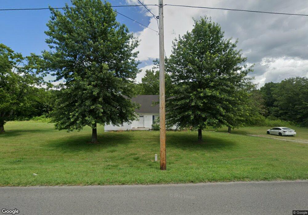
1201 Franklin Rd Lewisburg, TN 37091
Estimated Value: $199,000 - $230,000
--
Bed
1
Bath
1,268
Sq Ft
$163/Sq Ft
Est. Value
About This Home
This home is located at 1201 Franklin Rd, Lewisburg, TN 37091 and is currently estimated at $206,867, approximately $163 per square foot. 1201 Franklin Rd is a home located in Marshall County with nearby schools including Oak Grove Elementary School, Marshall Elementary School, and Westhills Elementary School.
Ownership History
Date
Name
Owned For
Owner Type
Purchase Details
Closed on
Jun 26, 2025
Sold by
Beckham Ross F
Bought by
Rohrbaugh Brian
Current Estimated Value
Purchase Details
Closed on
Aug 10, 2005
Sold by
Throneberry Buford C
Bought by
Ross Beckham and Ross Deloris
Purchase Details
Closed on
Jul 24, 1995
Bought by
Throneberry Buford C and Throneberry Mary M
Create a Home Valuation Report for This Property
The Home Valuation Report is an in-depth analysis detailing your home's value as well as a comparison with similar homes in the area
Home Values in the Area
Average Home Value in this Area
Purchase History
| Date | Buyer | Sale Price | Title Company |
|---|---|---|---|
| Rohrbaugh Brian | -- | None Listed On Document | |
| Rohrbaugh Brian | -- | None Listed On Document | |
| Ross Beckham | $53,000 | -- | |
| Throneberry Buford C | $75,000 | -- |
Source: Public Records
Tax History Compared to Growth
Tax History
| Year | Tax Paid | Tax Assessment Tax Assessment Total Assessment is a certain percentage of the fair market value that is determined by local assessors to be the total taxable value of land and additions on the property. | Land | Improvement |
|---|---|---|---|---|
| 2024 | -- | $35,050 | $6,825 | $28,225 |
| 2023 | $1,087 | $35,050 | $6,825 | $28,225 |
| 2022 | $1,087 | $35,050 | $6,825 | $28,225 |
| 2021 | $1,072 | $23,050 | $5,450 | $17,600 |
| 2020 | $1,072 | $23,050 | $5,450 | $17,600 |
| 2019 | $1,038 | $23,050 | $5,450 | $17,600 |
| 2018 | $1,027 | $23,050 | $5,450 | $17,600 |
| 2017 | $1,027 | $23,050 | $5,450 | $17,600 |
| 2016 | $1,132 | $22,100 | $5,600 | $16,500 |
| 2015 | $1,032 | $22,100 | $5,600 | $16,500 |
| 2014 | $1,032 | $22,100 | $5,600 | $16,500 |
Source: Public Records
Map
Nearby Homes
- 1170 Dodson Dr
- 1025 Glenn Ave
- 1204 Glenn Ave
- 1329 Amberwood Ct
- 966 Sumerset Cir
- 1465 New Columbia Hwy
- 644 7th Ave N
- 655 Glenn Ave
- 1345 Churchill Ln
- 1462 Lexington Way
- 1464 Lexington Way
- 1466 Lexington Way
- 1468 Lexington Way
- Pearson Plan at Saddle Trace - Townhomes
- 1413 Prescott Ln
- 630 6th Ave N
- 627 6th Ave N
- 319 Greenwood St
- 927 Fisher St
- 635 Jerre Ln
- 101 Matthews Dr
- 1200 Franklin Rd
- 103 Matthews Dr
- 100 Matthews Dr
- 1175 Franklin Rd Unit 43
- 1180 Franklin Rd
- 105 Matthews Dr
- 102 Matthews Dr
- 107 Matthews Dr
- 1130 Franklin Rd
- 109 Matthews Dr
- 1151 Dodson Dr
- 1141 Dodson Dr
- 104 Matthews Dr
- 1131 Dodson Dr
- 1161 Dodson Dr
- 1120 Franklin Rd
- 1171 Dodson Dr
- 1101 Dodson Dr
- 111 Matthews Dr