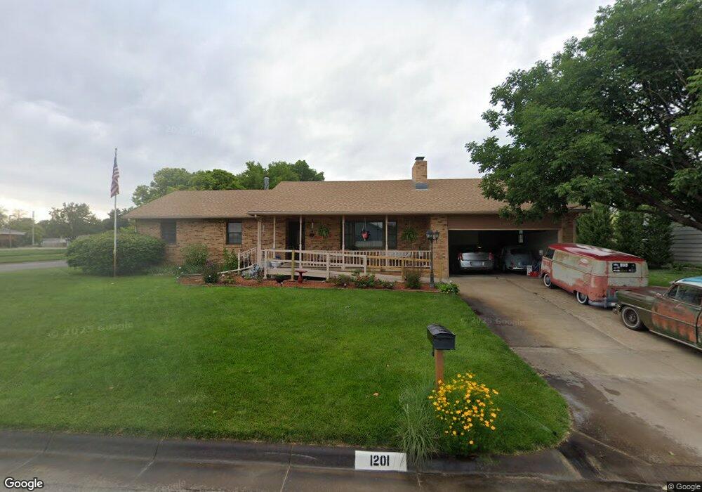
1201 Meyer Dr Salina, KS 67401
Estimated Value: $251,504 - $294,000
3
Beds
2
Baths
1,550
Sq Ft
$174/Sq Ft
Est. Value
About This Home
This home is located at 1201 Meyer Dr, Salina, KS 67401 and is currently estimated at $270,376, approximately $174 per square foot. 1201 Meyer Dr is a home located in Saline County with nearby schools including Meadowlark Ridge Elementary School, Lakewood Middle School, and Salina High School Central.
Ownership History
Date
Name
Owned For
Owner Type
Purchase Details
Closed on
Apr 16, 2025
Sold by
Tangye Edward D and Tangye Pamela D
Bought by
Tangye Edward D and Tangye Pamela D
Current Estimated Value
Purchase Details
Closed on
May 10, 2024
Sold by
Tangye April J and Mcgee April J
Bought by
Tangye Edward D
Purchase Details
Closed on
Nov 17, 2023
Sold by
Tangye Christopher P and Tangye Jennifer
Bought by
Tangye Edward D
Create a Home Valuation Report for This Property
The Home Valuation Report is an in-depth analysis detailing your home's value as well as a comparison with similar homes in the area
Home Values in the Area
Average Home Value in this Area
Purchase History
| Date | Buyer | Sale Price | Title Company |
|---|---|---|---|
| Tangye Edward D | -- | Land Title | |
| Tangye Edward D | -- | Land Title | |
| Tangye Edward D | -- | Land Title | |
| Tangye Edward D | -- | Land Title |
Source: Public Records
Tax History Compared to Growth
Tax History
| Year | Tax Paid | Tax Assessment Tax Assessment Total Assessment is a certain percentage of the fair market value that is determined by local assessors to be the total taxable value of land and additions on the property. | Land | Improvement |
|---|---|---|---|---|
| 2025 | $3,646 | $26,692 | $1,931 | $24,761 |
| 2024 | $3,646 | $27,439 | $2,681 | $24,758 |
| 2023 | $3,646 | $26,979 | $2,504 | $24,475 |
| 2022 | $3,262 | $24,713 | $2,201 | $22,512 |
| 2021 | $3,066 | $22,436 | $2,149 | $20,287 |
| 2020 | $3,014 | $21,804 | $2,149 | $19,655 |
| 2019 | $2,852 | $22,931 | $2,149 | $20,782 |
| 2018 | $2,792 | $20,516 | $2,149 | $18,367 |
| 2017 | $0 | $19,952 | $2,149 | $17,803 |
| 2016 | $0 | $19,745 | $2,149 | $17,596 |
| 2015 | -- | $19,101 | $2,079 | $17,022 |
| 2013 | -- | $0 | $0 | $0 |
Source: Public Records
Map
Nearby Homes
- 1203 Martin Ave
- 1219 Fredrich Dr
- 952 Pearl Ave
- 718 E Wilson St
- 1622 E Republic Ave
- 1313 Louise Ln
- 609 Berkshire Dr
- 1034 Republic Cir
- 1100 Quincy St
- 813 E Claflin Ave
- 500 E Jewell Ave
- 951 S 2nd St
- 1418 Sunrise Dr
- 828 E Claflin Ave
- 237 E Minneapolis Ave
- 1325 Lynn Dr
- 1820 Glendale Rd
- 681 Starlight Dr
- 1307 Parkwood Dr
- 220 E Ellsworth Ave
- 845 Manchester Rd
- 1205 Meyer Dr
- 857 Manchester Rd
- 1124 Mcadams Rd
- 1207 Meyer Dr
- 1200 Mcadams Rd
- 1204 Meyer Dr
- 1206 Mcadams Rd
- 861 Manchester Rd
- 1211 Meyer Dr
- 1210 Mcadams Rd
- 1212 Meyer Dr
- 865 Manchester Rd
- 1215 Meyer Dr
- 835 Manchester Rd
- 1131 Mcadams Rd
- 1207 Martin Ave
- 1214 Mcadams Rd
- 1203 Mcadams Rd
- 836 Manchester Rd