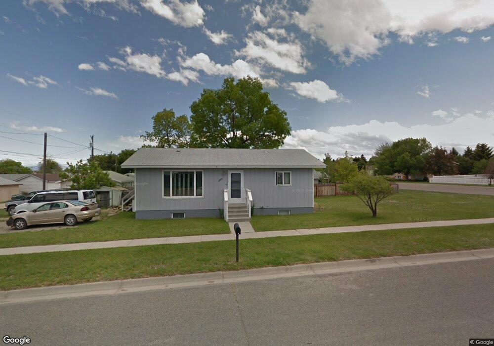
1201 N Hannaford St Helena, MT 59601
Lower East Side NeighborhoodEstimated Value: $340,000 - $354,000
3
Beds
2
Baths
912
Sq Ft
$384/Sq Ft
Est. Value
About This Home
This home is located at 1201 N Hannaford St, Helena, MT 59601 and is currently estimated at $350,069, approximately $383 per square foot. 1201 N Hannaford St is a home located in Lewis and Clark County with nearby schools including Bryant School, Helena Middle School, and Calvary Christian School.
Ownership History
Date
Name
Owned For
Owner Type
Purchase Details
Closed on
May 20, 2008
Sold by
Deming Lynn M and Loveless Lynn Marie
Bought by
Quisenberry Thomas and Quisenberry Lissa M
Current Estimated Value
Home Financials for this Owner
Home Financials are based on the most recent Mortgage that was taken out on this home.
Original Mortgage
$113,715
Outstanding Balance
$72,015
Interest Rate
5.88%
Mortgage Type
FHA
Estimated Equity
$278,054
Create a Home Valuation Report for This Property
The Home Valuation Report is an in-depth analysis detailing your home's value as well as a comparison with similar homes in the area
Home Values in the Area
Average Home Value in this Area
Purchase History
| Date | Buyer | Sale Price | Title Company |
|---|---|---|---|
| Quisenberry Thomas | -- | Chicago Title Insurance Comp |
Source: Public Records
Mortgage History
| Date | Status | Borrower | Loan Amount |
|---|---|---|---|
| Open | Quisenberry Thomas | $113,715 |
Source: Public Records
Tax History Compared to Growth
Tax History
| Year | Tax Paid | Tax Assessment Tax Assessment Total Assessment is a certain percentage of the fair market value that is determined by local assessors to be the total taxable value of land and additions on the property. | Land | Improvement |
|---|---|---|---|---|
| 2025 | $1,928 | $365,000 | $0 | $0 |
| 2024 | $2,543 | $265,700 | $0 | $0 |
| 2023 | $3,020 | $265,700 | $0 | $0 |
| 2022 | $2,652 | $195,700 | $0 | $0 |
| 2021 | $2,171 | $195,700 | $0 | $0 |
| 2020 | $2,683 | $196,000 | $0 | $0 |
| 2019 | $2,687 | $196,000 | $0 | $0 |
| 2018 | $2,371 | $172,400 | $0 | $0 |
| 2017 | $1,719 | $172,400 | $0 | $0 |
| 2016 | $1,854 | $143,600 | $0 | $0 |
| 2015 | $1,461 | $143,600 | $0 | $0 |
| 2014 | $1,378 | $74,994 | $0 | $0 |
Source: Public Records
Map
Nearby Homes
- 1735 Livingston Ave
- 1803 Townsend Ave
- 1208 N Washington St
- 1701 Townsend Ave
- 2114 Townsend Ave
- 1612 Boulder Ave
- 1807 Townsend Ave
- 1534 Lewis St
- 1865 Easy St
- 1855 Easy St
- 1414 Boulder Ave
- 1830 Beech St
- 1646 Walnut St
- 1714 Chestnut St
- 1930 N Hannaford St
- 1815 9th Ave
- tba Bozeman Ave
- 1423 Poplar St
- TBD Poplar St
- TBD Lot 7-8 Argyle St
- 1902 Livingston Ave
- 1914 Livingston Ave
- 1834 Livingston Ave
- 1903 Boulder Ave
- 1905 Boulder Ave
- 1828 Livingston Ave
- 1123 N Hannaford St
- 1911 Boulder Ave
- 1835 Boulder Ave
- 1822 Livingston Ave
- 1833 Boulder Ave
- 1911 Livingston Ave
- 1121 N Hannaford St
- 1915 Boulder Ave
- 1833 Livingston Ave
- 1827 Boulder Ave
- 1919 Livingston Ave
- 1829 Livingston Ave
- 1814 Livingston Ave
- 1821 Boulder Ave