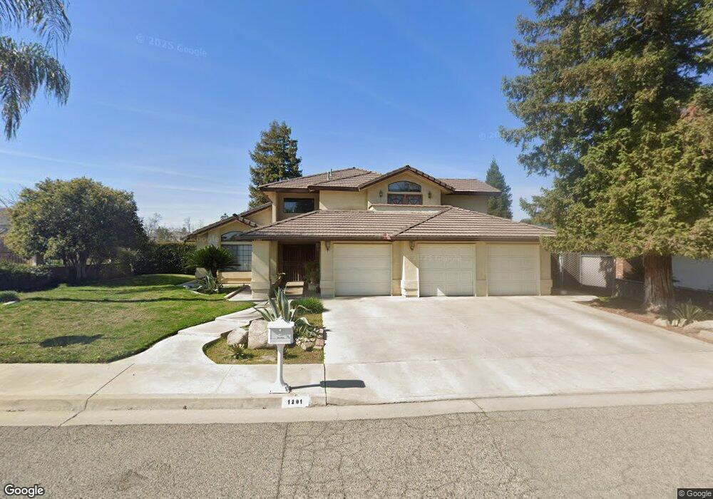
1201 N Lindale Way Porterville, CA 93257
Porterville Northwest NeighborhoodEstimated Value: $389,000 - $473,333
3
Beds
2
Baths
1,916
Sq Ft
$225/Sq Ft
Est. Value
About This Home
This home is located at 1201 N Lindale Way, Porterville, CA 93257 and is currently estimated at $431,167, approximately $225 per square foot. 1201 N Lindale Way is a home located in Tulare County with nearby schools including Westfield Elementary School, Sequoia Middle School, and Monache High School.
Ownership History
Date
Name
Owned For
Owner Type
Purchase Details
Closed on
Apr 9, 2025
Sold by
Noland Steven
Bought by
Steven Noland Trust and Noland
Current Estimated Value
Purchase Details
Closed on
Jan 4, 2005
Sold by
Ward R H
Bought by
Noland Steven and Noland Delita
Purchase Details
Closed on
May 24, 2004
Sold by
Jones & Sons Trucking Inc
Bought by
Ward R H
Purchase Details
Closed on
Oct 30, 2000
Sold by
Rodriguez Manuel A and Rodriguez Socorro M
Bought by
Porterville Ready Mix Inc
Create a Home Valuation Report for This Property
The Home Valuation Report is an in-depth analysis detailing your home's value as well as a comparison with similar homes in the area
Home Values in the Area
Average Home Value in this Area
Purchase History
| Date | Buyer | Sale Price | Title Company |
|---|---|---|---|
| Steven Noland Trust | -- | None Listed On Document | |
| Noland Steven | $50,000 | Stewart Title Of California | |
| Ward R H | $27,500 | Stewart Title Of California | |
| Porterville Ready Mix Inc | -- | -- |
Source: Public Records
Tax History Compared to Growth
Tax History
| Year | Tax Paid | Tax Assessment Tax Assessment Total Assessment is a certain percentage of the fair market value that is determined by local assessors to be the total taxable value of land and additions on the property. | Land | Improvement |
|---|---|---|---|---|
| 2025 | $3,311 | $332,449 | $68,328 | $264,121 |
| 2024 | $3,311 | $325,932 | $66,989 | $258,943 |
| 2023 | $3,326 | $319,542 | $65,676 | $253,866 |
| 2022 | $3,189 | $313,278 | $64,389 | $248,889 |
| 2021 | $3,162 | $307,135 | $63,126 | $244,009 |
| 2020 | $3,130 | $303,986 | $62,479 | $241,507 |
| 2019 | $3,094 | $298,026 | $61,254 | $236,772 |
| 2018 | $3,080 | $292,182 | $60,053 | $232,129 |
| 2017 | $2,802 | $265,000 | $60,000 | $205,000 |
| 2016 | $2,095 | $205,000 | $50,000 | $155,000 |
| 2015 | $1,717 | $172,000 | $57,000 | $115,000 |
| 2014 | $1,717 | $172,000 | $57,000 | $115,000 |
Source: Public Records
Map
Nearby Homes
- 1121 N Lindale Way
- 1245 Atkins St
- 1370 Lindale Place
- 1076 N Beverly St
- 1681 W Wall Ln
- 1041 Greenfield Dr
- 1450 W Brian Ln
- 1045 N Westside St
- 0 Pioneer Ave Unit 233651
- 1691 Terry Ct
- 1857 W Westfield Ave
- 1750 W Terry Cir
- 1644 Mccomb Ave
- 1926 W Nancy Ave
- 1089 Pioneer Ave
- 1692 N Beverly St
- 1555 Verdugo Place
- 1761 N Wilson Place
- 1362 W North Grand Ave
- 1690 Memory Ln
- 1201 N Lindale Way
- 1211 N Lindale Way
- 1210 N Lotas Way
- 1191 Lindale St
- 1221 N Lindale Way
- 1200 N Lindale Way
- 0 W Westfield Ave
- 1019 W Westfield Ave
- 1210 N Lindale Way
- 1058 N Lindale Way
- 1220 N Lotas Way
- 1181 Lindale St
- 1181 Lindale St
- 1190 Lindale St
- 1220 N Lindale Way
- 1460 W Westfield Ave
- 1231 N Lindale Way
- 1385 N Lindale Way
- 1350 N Lindale Way
- 1171 Lindale St