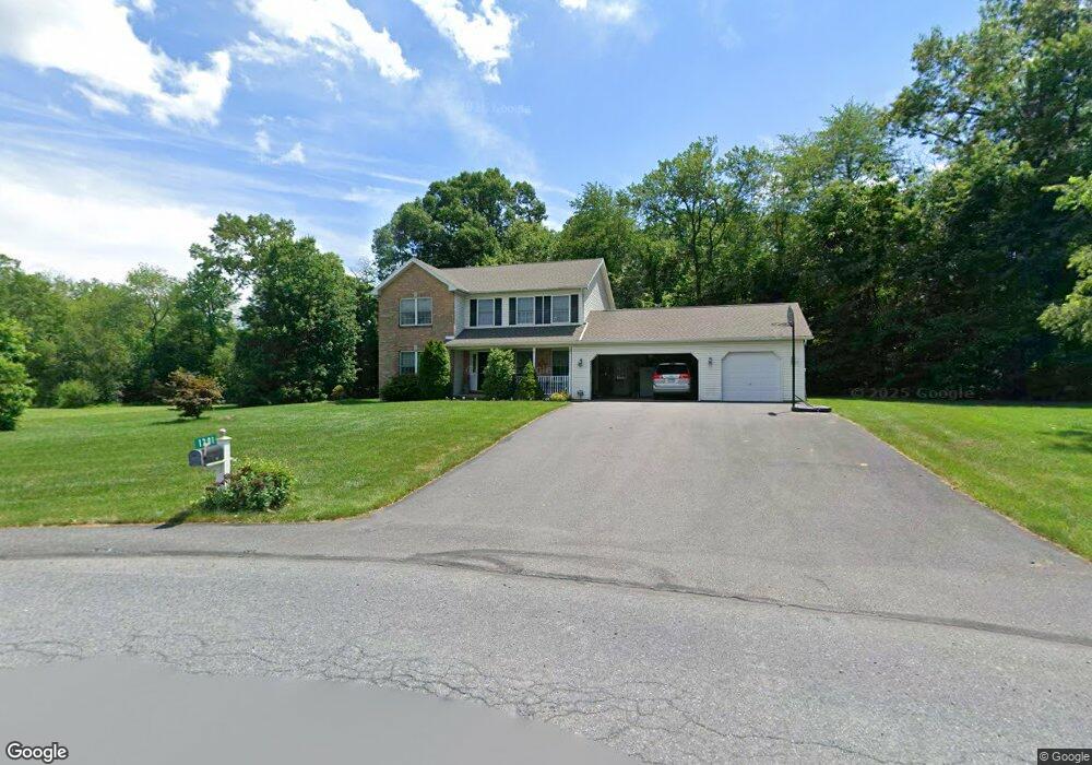
1201 Rone Dr Wind Gap, PA 18091
Estimated Value: $479,555 - $590,000
3
Beds
3
Baths
2,016
Sq Ft
$263/Sq Ft
Est. Value
About This Home
This home is located at 1201 Rone Dr, Wind Gap, PA 18091 and is currently estimated at $529,639, approximately $262 per square foot. 1201 Rone Dr is a home located in Northampton County with nearby schools including Kenneth N Butz Elementary School, Nazareth Area Middle School, and Nazareth Area High School.
Ownership History
Date
Name
Owned For
Owner Type
Purchase Details
Closed on
Jun 26, 2012
Sold by
Kresge Frank B and Sipler Jean Ann
Bought by
Kresge Frank B
Current Estimated Value
Home Financials for this Owner
Home Financials are based on the most recent Mortgage that was taken out on this home.
Original Mortgage
$210,000
Interest Rate
3.78%
Mortgage Type
New Conventional
Create a Home Valuation Report for This Property
The Home Valuation Report is an in-depth analysis detailing your home's value as well as a comparison with similar homes in the area
Home Values in the Area
Average Home Value in this Area
Purchase History
| Date | Buyer | Sale Price | Title Company |
|---|---|---|---|
| Kresge Frank B | -- | None Available |
Source: Public Records
Mortgage History
| Date | Status | Borrower | Loan Amount |
|---|---|---|---|
| Closed | Kresge Frank B | $210,000 |
Source: Public Records
Tax History
| Year | Tax Paid | Tax Assessment Tax Assessment Total Assessment is a certain percentage of the fair market value that is determined by local assessors to be the total taxable value of land and additions on the property. | Land | Improvement |
|---|---|---|---|---|
| 2025 | $943 | $87,300 | $21,000 | $66,300 |
| 2024 | $6,618 | $87,300 | $21,000 | $66,300 |
| 2023 | $6,556 | $87,300 | $21,000 | $66,300 |
| 2022 | $6,556 | $87,300 | $21,000 | $66,300 |
| 2021 | $6,551 | $87,300 | $21,000 | $66,300 |
| 2020 | $6,551 | $87,300 | $21,000 | $66,300 |
| 2019 | $6,442 | $87,300 | $21,000 | $66,300 |
| 2018 | $6,335 | $87,300 | $21,000 | $66,300 |
| 2017 | $6,227 | $87,300 | $21,000 | $66,300 |
| 2016 | -- | $87,300 | $21,000 | $66,300 |
| 2015 | -- | $87,300 | $21,000 | $66,300 |
| 2014 | -- | $87,300 | $21,000 | $66,300 |
Source: Public Records
Map
Nearby Homes
- 102 E Moorestown Rd
- 1480 Bushkill Center Rd
- 257 Hoffman Rd
- 379 Meyer Rd
- 1506 Corkscrew Dr Unit 2
- 1502 Corkscrew Dr Unit 1
- 1525 Corkscrew Dr
- 1522 Corkscrew Dr Unit 6
- 1521 Corkscrew Dr Unit 8
- 1510 Corkscrew Dr Unit 3
- 1517 Corkscrew Dr Unit 9
- 1509 Corkscrew Dr Unit 11
- 1513 Corkscrew Dr Unit 10
- 1505 Corkscrew Dr Unit 12
- 2040 Church Rd Unit 14
- 1147 Jacobsburg Rd
- 901 Renaldi Rd
- 0 Pennsylvania 33
- 108 E Douglasville Rd
- 635 Kathleen Dr
- 218 Cherrywood Dr
- 224 Cherrywood Dr
- 1202 Rone Dr
- 212 Cherrywood Dr
- 1213 Rone Dr
- 205 W Moorestown Rd
- 230 Cherrywood Dr
- 195 W Moorestown Rd
- 206 Cherrywood Dr
- 1200 Rone Dr
- 233 Cherrywood Dr
- 1248 Poplarwood Rd
- 175 W Moorestown Rd
- 1294 Poplarwood Rd
- 236 Cherrywood Dr
- 1256 Poplarwood Rd
- 1214 Rone Dr
- 1220 Rone Dr
- 1250 Poplarwood Rd
- 173 W Moorestown Rd
Your Personal Tour Guide
Ask me questions while you tour the home.