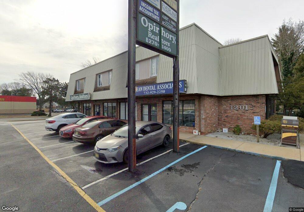
1201 Route 37 E Toms River, NJ 08753
Estimated Value: $1,605,658
--
Bed
--
Bath
12,570
Sq Ft
$128/Sq Ft
Est. Value
About This Home
This home is located at 1201 Route 37 E, Toms River, NJ 08753 and is currently estimated at $1,605,658, approximately $127 per square foot. 1201 Route 37 E is a home located in Ocean County with nearby schools including St Joseph Grade School, Ambassador Christian Academy, and Donovan Catholic High School.
Ownership History
Date
Name
Owned For
Owner Type
Purchase Details
Closed on
Aug 1, 2018
Sold by
Rnt Corp
Bought by
Bradshaw Equities Llc
Current Estimated Value
Home Financials for this Owner
Home Financials are based on the most recent Mortgage that was taken out on this home.
Original Mortgage
$550,000
Outstanding Balance
$477,653
Interest Rate
4.5%
Mortgage Type
New Conventional
Estimated Equity
$1,128,005
Purchase Details
Closed on
Sep 1, 1998
Sold by
Advantage Properties Llc
Bought by
Rnt Corp
Home Financials for this Owner
Home Financials are based on the most recent Mortgage that was taken out on this home.
Original Mortgage
$215,000
Interest Rate
9%
Mortgage Type
Commercial
Create a Home Valuation Report for This Property
The Home Valuation Report is an in-depth analysis detailing your home's value as well as a comparison with similar homes in the area
Home Values in the Area
Average Home Value in this Area
Purchase History
| Date | Buyer | Sale Price | Title Company |
|---|---|---|---|
| Bradshaw Equities Llc | $800,000 | None Available | |
| Rnt Corp | $925,000 | -- |
Source: Public Records
Mortgage History
| Date | Status | Borrower | Loan Amount |
|---|---|---|---|
| Open | Bradshaw Equities Llc | $550,000 | |
| Previous Owner | Rnt Corp | $215,000 |
Source: Public Records
Tax History Compared to Growth
Tax History
| Year | Tax Paid | Tax Assessment Tax Assessment Total Assessment is a certain percentage of the fair market value that is determined by local assessors to be the total taxable value of land and additions on the property. | Land | Improvement |
|---|---|---|---|---|
| 2025 | $18,210 | $1,000,000 | $504,000 | $496,000 |
| 2024 | $26,547 | $1,000,000 | $504,000 | $496,000 |
| 2023 | $25,596 | $1,533,600 | $504,000 | $1,029,600 |
| 2022 | $25,596 | $1,533,600 | $504,000 | $1,029,600 |
| 2021 | $25,050 | $1,000,000 | $642,200 | $357,800 |
| 2020 | $24,940 | $1,000,000 | $642,200 | $357,800 |
| 2019 | $43,781 | $1,834,900 | $642,200 | $1,192,700 |
| 2018 | $43,194 | $1,834,900 | $642,200 | $1,192,700 |
| 2017 | $42,827 | $1,834,900 | $642,200 | $1,192,700 |
| 2016 | $41,707 | $1,834,900 | $642,200 | $1,192,700 |
| 2015 | $40,129 | $1,834,900 | $642,200 | $1,192,700 |
| 2014 | $38,203 | $1,834,900 | $642,200 | $1,192,700 |
Source: Public Records
Map
Nearby Homes
- 542 Princess Ct
- 50 Breton Harbor Dr
- 93 Longfellow Ave
- 817 Naryshkin Way
- 841 Naryshkin Way
- 821 Naryshkin Way
- 1575 Deer Hollow Dr
- 81 River Dr
- 45 7th Bayway
- 517 River Dr
- 1427 Summit Ave
- 548 Hill Rd
- 11 River Dr
- 1438 Summit Ave
- 585 Fawn Dr
- 545 Duchess Ct
- 1468 Randolph St
- 837 Raleigh Dr
- 108 Pine St
- 21 Cedar Dr Unit A
- 1201 Route 37 E
- 1201 New Jersey 37
- 307 Longfellow Ave
- 310 Keats Ave
- 308 Keats Ave
- 305 Longfellow Ave
- 306 Keats Ave
- 303 Longfellow Ave
- 304 Keats Ave
- 308 Longfellow Ave
- 304 Longfellow Ave
- 298 Keats Ave
- 1211 Burns Ave
- 1227 Burns Ave
- 1209 Burns Ave
- 313 Tennyson Ave
- 311 Tennyson Ave
- 302 Longfellow Ave
- 302 Longfellow Ave Unit B
- 307 Tennyson Ave