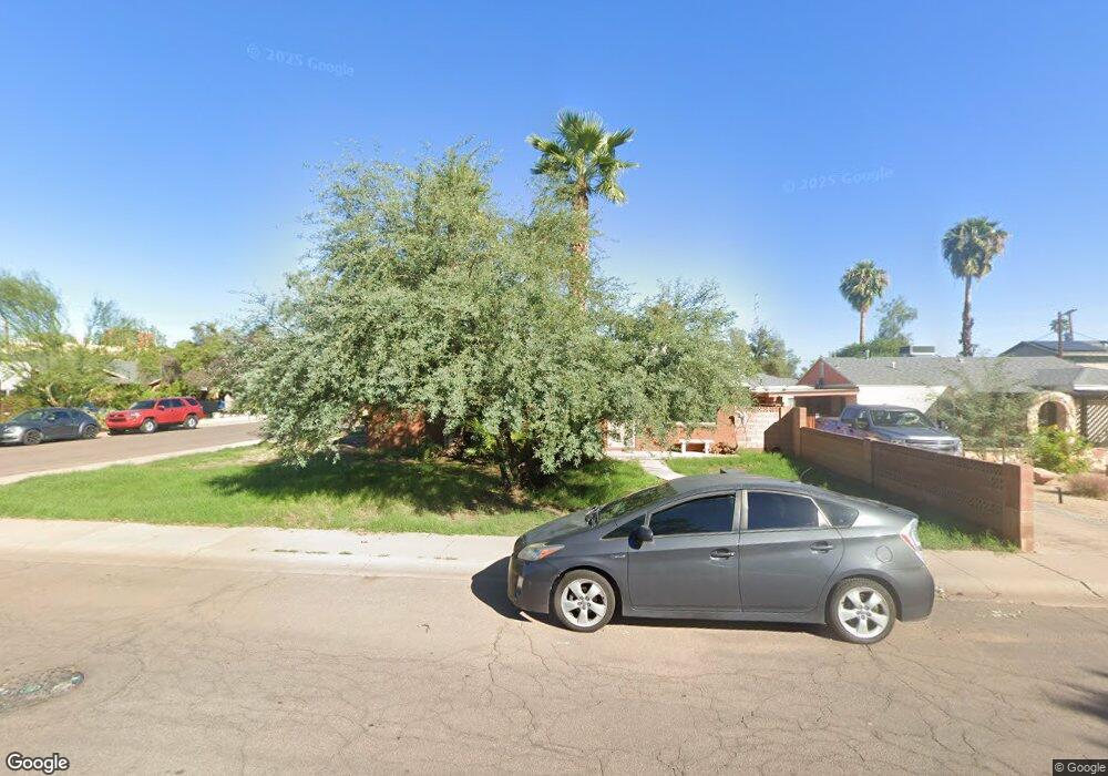
1201 S Wilson St Tempe, AZ 85281
Mitchell Park East NeighborhoodEstimated Value: $415,928 - $579,000
--
Bed
2
Baths
1,144
Sq Ft
$423/Sq Ft
Est. Value
About This Home
This home is located at 1201 S Wilson St, Tempe, AZ 85281 and is currently estimated at $483,982, approximately $423 per square foot. 1201 S Wilson St is a home located in Maricopa County with nearby schools including Geneva Epps Mosley Middle School, Tempe High School, and New School for the Arts & Academics.
Ownership History
Date
Name
Owned For
Owner Type
Purchase Details
Closed on
Sep 28, 1995
Sold by
Wild Wood Investments
Bought by
Fuller William W and Fuller Mary Ellen
Current Estimated Value
Home Financials for this Owner
Home Financials are based on the most recent Mortgage that was taken out on this home.
Original Mortgage
$72,000
Outstanding Balance
$523
Interest Rate
7.97%
Mortgage Type
New Conventional
Estimated Equity
$483,459
Create a Home Valuation Report for This Property
The Home Valuation Report is an in-depth analysis detailing your home's value as well as a comparison with similar homes in the area
Home Values in the Area
Average Home Value in this Area
Purchase History
| Date | Buyer | Sale Price | Title Company |
|---|---|---|---|
| Fuller William W | $90,000 | United Title Agency |
Source: Public Records
Mortgage History
| Date | Status | Borrower | Loan Amount |
|---|---|---|---|
| Open | Fuller William W | $72,000 |
Source: Public Records
Tax History Compared to Growth
Tax History
| Year | Tax Paid | Tax Assessment Tax Assessment Total Assessment is a certain percentage of the fair market value that is determined by local assessors to be the total taxable value of land and additions on the property. | Land | Improvement |
|---|---|---|---|---|
| 2025 | $2,656 | $22,162 | -- | -- |
| 2024 | $2,453 | $21,107 | -- | -- |
| 2023 | $2,453 | $38,500 | $7,700 | $30,800 |
| 2022 | $2,353 | $32,320 | $6,460 | $25,860 |
| 2021 | $2,369 | $29,480 | $5,890 | $23,590 |
| 2020 | $2,297 | $26,110 | $5,220 | $20,890 |
| 2019 | $2,253 | $20,560 | $4,110 | $16,450 |
| 2018 | $2,198 | $19,820 | $3,960 | $15,860 |
| 2017 | $2,132 | $16,870 | $3,370 | $13,500 |
| 2016 | $2,117 | $16,900 | $3,380 | $13,520 |
| 2015 | $2,033 | $16,130 | $3,220 | $12,910 |
Source: Public Records
Map
Nearby Homes
- 1218 S Farmer Ave
- 1234 S Farmer Ave
- 522 W Howe St
- 1101 S Farmer Ave
- 538 W 13th St
- 538 W 13th St Unit A
- 620 W Howe St
- 63 W 13th St Unit 63 & 69
- 531 W 14th St
- 1224 S Maple Ave
- 1190 S Maple Ave Unit 1
- 542 W 15th St
- 535 W 15th St
- 117 W 10th St
- 942 S Ash Ave Unit 103
- 601 W 15th St
- 14 E 14th St
- 22 E 15th St
- 901 W 16th St
- 700 W University Dr Unit 122
- 1205 S Wilson St
- 435 W 12th St
- 1209 S Wilson St
- 515 W 12th St
- 428 W 12th St
- 424 W 12th St
- 505 W 12th St
- 1213 S Wilson St
- 420 W 12th St
- 511 W 12th St
- 1138 S Wilson St
- 503 W 12th St
- 431 W 12th St
- 1206 S Wilson St
- 1206 S Wilson St Unit A
- 1217 S Wilson St
- 414 W 12th St
- 1210 S Wilson St
- 508 W 12th St
- 1214 S Wilson St