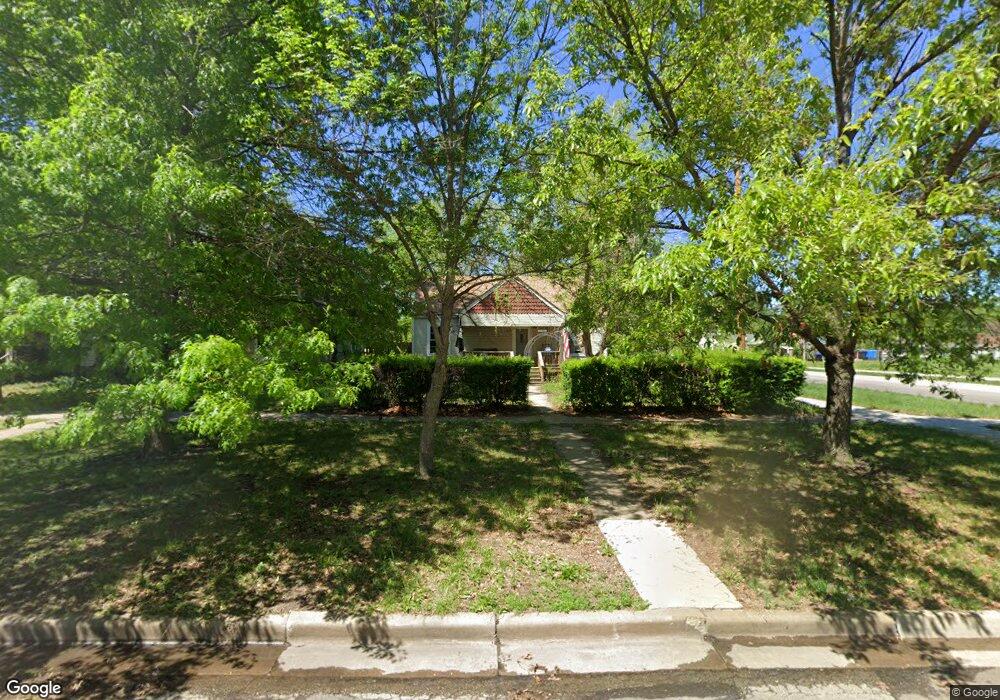
1201 SW Lincoln St Topeka, KS 66604
Tennessee Town NeighborhoodEstimated Value: $119,000 - $198,000
3
Beds
2
Baths
1,248
Sq Ft
$118/Sq Ft
Est. Value
About This Home
This home is located at 1201 SW Lincoln St, Topeka, KS 66604 and is currently estimated at $147,490, approximately $118 per square foot. 1201 SW Lincoln St is a home located in Shawnee County with nearby schools including Randolph Elementary School, Robinson Middle School, and Topeka High School.
Ownership History
Date
Name
Owned For
Owner Type
Purchase Details
Closed on
Mar 9, 2022
Sold by
Lyons Desiree L and Lyons Shay C
Bought by
Lyons Desiree L and Lyons Shay C
Current Estimated Value
Home Financials for this Owner
Home Financials are based on the most recent Mortgage that was taken out on this home.
Original Mortgage
$67,000
Outstanding Balance
$53,953
Interest Rate
3.01%
Mortgage Type
New Conventional
Estimated Equity
$93,537
Purchase Details
Closed on
Jul 11, 2019
Sold by
Lyons Desiree L
Bought by
Lyons Desiree L and Lyons Shay C
Create a Home Valuation Report for This Property
The Home Valuation Report is an in-depth analysis detailing your home's value as well as a comparison with similar homes in the area
Home Values in the Area
Average Home Value in this Area
Purchase History
| Date | Buyer | Sale Price | Title Company |
|---|---|---|---|
| Lyons Desiree L | -- | Security 1St Title | |
| Lyons Desiree L | -- | None Available |
Source: Public Records
Mortgage History
| Date | Status | Borrower | Loan Amount |
|---|---|---|---|
| Open | Lyons Desiree L | $67,000 |
Source: Public Records
Tax History Compared to Growth
Tax History
| Year | Tax Paid | Tax Assessment Tax Assessment Total Assessment is a certain percentage of the fair market value that is determined by local assessors to be the total taxable value of land and additions on the property. | Land | Improvement |
|---|---|---|---|---|
| 2025 | $1,763 | $13,649 | -- | -- |
| 2023 | $1,763 | $12,263 | $0 | $0 |
| 2022 | $1,680 | $11,461 | $0 | $0 |
| 2021 | $1,622 | $10,419 | $0 | $0 |
| 2020 | $1,463 | $9,533 | $0 | $0 |
| 2019 | $1,442 | $9,346 | $0 | $0 |
| 2018 | $1,401 | $9,073 | $0 | $0 |
| 2017 | $1,404 | $9,073 | $0 | $0 |
| 2014 | $1,452 | $9,286 | $0 | $0 |
Source: Public Records
Map
Nearby Homes
- 1224 SW Garfield Ave
- 1225 SW Throop St
- 1031 SW Clay St
- 1020 SW 11th St
- 1281 SW Buchanan St
- 1216 SW College Ave
- 1301 SW Fillmore St Unit Main Floor Apt. 12
- 1300 SW Fillmore St
- 1200 SW Taylor St
- 0 SW Buchanan St
- 1327 SW College Ave
- 710 SW 13th St
- 1180 SW Woodward Ave
- 1156 SW Woodward Ave
- 1021 SW Polk St
- 1531 SW 15th St
- 1415 SW Fillmore St
- 731 SW Lincoln St
- 1255 SW Tyler St
- 1717 SW 15th St
- 1205 SW Lincoln St
- 1207 SW Lincoln St
- 1209 SW Lincoln St
- 1215 SW Lincoln St
- 1195 SW Lincoln St
- 1314 SW 12th St
- 1217 SW Lincoln St
- 1219 SW Lincoln St
- 1212 SW Lane St
- 1191 SW Lincoln St
- 1196 SW Lane St
- 1194 SW Lincoln St
- 1200 SW Lincoln St
- 1187 SW Lincoln St
- 1204 SW Lincoln St
- 1218 SW Lane St
- 1225 SW Lincoln St
- 1210 SW Lincoln St
- 1194 SW Lane St
- 1190 SW Lane St