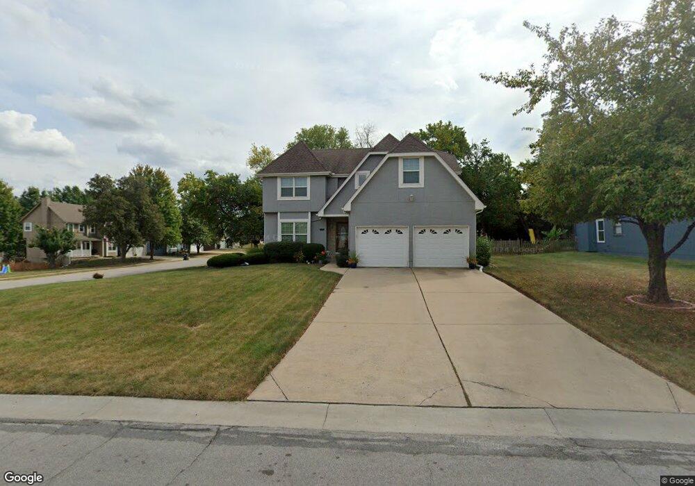
1201 SW Persels Rd Lees Summit, MO 64081
Estimated Value: $365,000 - $440,000
4
Beds
3
Baths
2,451
Sq Ft
$166/Sq Ft
Est. Value
About This Home
This home is located at 1201 SW Persels Rd, Lees Summit, MO 64081 and is currently estimated at $407,555, approximately $166 per square foot. 1201 SW Persels Rd is a home located in Jackson County with nearby schools including Pleasant Lea Middle School, Lee's Summit Senior High School, and Summit Christian Academy.
Ownership History
Date
Name
Owned For
Owner Type
Purchase Details
Closed on
Mar 10, 2006
Sold by
Willis Janet
Bought by
Carey Charles L and Carey Laura M
Current Estimated Value
Home Financials for this Owner
Home Financials are based on the most recent Mortgage that was taken out on this home.
Original Mortgage
$42,200
Outstanding Balance
$23,878
Interest Rate
6.19%
Mortgage Type
Stand Alone Second
Estimated Equity
$383,677
Purchase Details
Closed on
Mar 11, 2005
Sold by
Willis James and Willis Janet
Bought by
Willis Janet
Create a Home Valuation Report for This Property
The Home Valuation Report is an in-depth analysis detailing your home's value as well as a comparison with similar homes in the area
Home Values in the Area
Average Home Value in this Area
Purchase History
| Date | Buyer | Sale Price | Title Company |
|---|---|---|---|
| Carey Charles L | -- | Metro One Title | |
| Willis Janet | -- | -- |
Source: Public Records
Mortgage History
| Date | Status | Borrower | Loan Amount |
|---|---|---|---|
| Open | Carey Charles L | $42,200 |
Source: Public Records
Tax History
| Year | Tax Paid | Tax Assessment Tax Assessment Total Assessment is a certain percentage of the fair market value that is determined by local assessors to be the total taxable value of land and additions on the property. | Land | Improvement |
|---|---|---|---|---|
| 2025 | $5,549 | $60,053 | $9,747 | $50,306 |
| 2024 | $5,508 | $76,844 | $9,599 | $67,245 |
| 2023 | $5,508 | $76,843 | $10,936 | $65,907 |
| 2022 | $3,666 | $45,410 | $5,370 | $40,040 |
| 2021 | $3,742 | $45,410 | $5,370 | $40,040 |
| 2020 | $3,784 | $45,473 | $5,370 | $40,103 |
| 2019 | $3,680 | $45,473 | $5,370 | $40,103 |
| 2018 | $3,452 | $39,577 | $4,674 | $34,903 |
| 2017 | $3,452 | $39,577 | $4,674 | $34,903 |
| 2016 | $3,432 | $38,950 | $4,408 | $34,542 |
Source: Public Records
Map
Nearby Homes
- 1244 SW Crossing Dr
- 1120 SW Crossing Dr
- 1012 SW 13th Terrace
- 1236 SW Creekside Dr
- 1021 SW Redbuck Cir
- 1049 SW Twin Creek Dr
- 1256 SW Summit Crossing Cir
- 1112 SW Hoke Dr
- 1108 SW Hoke Dr
- 1521 SW Hedgewood Ln
- 720 SW Williams St
- 714 SW Murray Rd
- 1637 SW Hedgewood Ln
- 902 SW Lea Dr
- 710 SW Murray Rd
- 604 SW Hoke Ln
- 1009 SW 7th St
- 1402 SW Charleston Ave
- 1202 SW Walnut St
- 715 SW 7th St
- 1205 SW Persels Rd
- 1304 SW Pacific Dr
- 1233 SW Pacific Dr
- 1209 SW Persels Rd
- 1112 SW Persels Rd
- 1105 SW Persels Rd
- 1305 SW Pacific Dr
- 1224 SW Pacific Dr
- 1308 SW Pacific Dr
- 1108 SW Persels Rd
- 1309 SW Pacific Dr
- 1229 SW Pacific Dr
- 1213 SW Persels Rd
- 1212 SW Persels Rd
- 1312 SW Pacific Dr
- 1101 SW Persels Rd
- 1313 SW Pacific Dr
- 1104 SW Persels Rd
- 1217 SW Persels Rd
- 1220 SW Pacific Dr
Your Personal Tour Guide
Ask me questions while you tour the home.