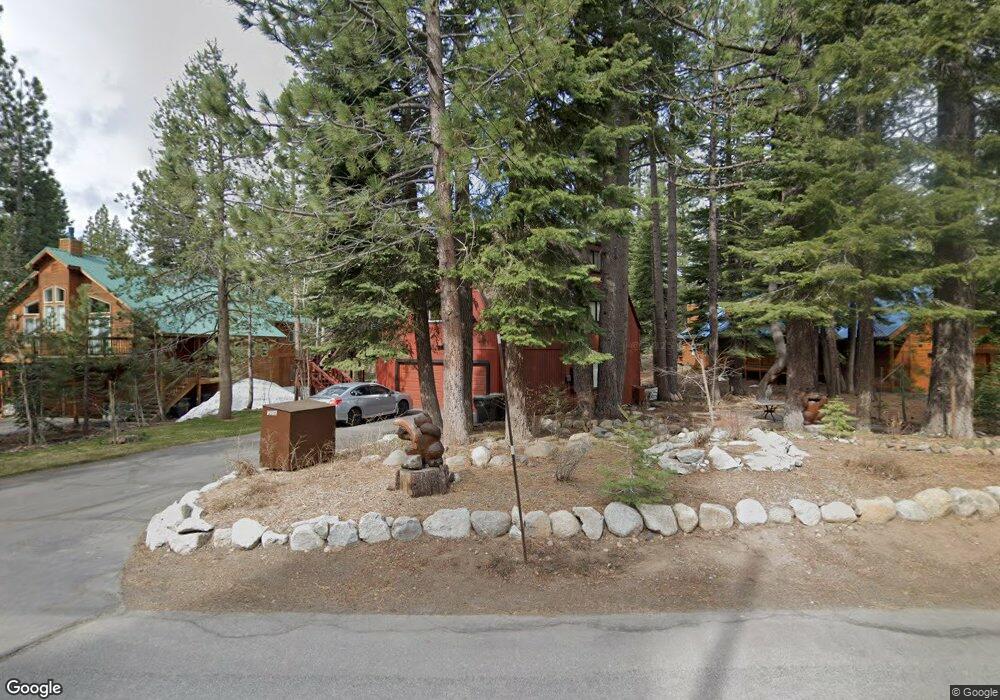
12016 Brookstone Dr Truckee, CA 96161
Tahoe Donner NeighborhoodEstimated Value: $998,749 - $1,123,000
3
Beds
3
Baths
2,148
Sq Ft
$504/Sq Ft
Est. Value
About This Home
This home is located at 12016 Brookstone Dr, Truckee, CA 96161 and is currently estimated at $1,082,437, approximately $503 per square foot. 12016 Brookstone Dr is a home located in Nevada County with nearby schools including Truckee Elementary School, Alder Creek Middle School, and Tahoe Truckee High School.
Ownership History
Date
Name
Owned For
Owner Type
Purchase Details
Closed on
Jun 15, 2011
Sold by
Milliken David John and Milliken Mary Elena
Bought by
Milliken David J and Milliken Mary Elena
Current Estimated Value
Purchase Details
Closed on
Aug 22, 1997
Sold by
Millikan David John and Millikan David
Bought by
Millikan David John and Millikan Mary Elena
Create a Home Valuation Report for This Property
The Home Valuation Report is an in-depth analysis detailing your home's value as well as a comparison with similar homes in the area
Home Values in the Area
Average Home Value in this Area
Purchase History
We collect this data history from publicly available records. To have your information removed, we recommend requesting removal directly through your county’s website.
| Date | Buyer | Sale Price | Title Company |
|---|---|---|---|
| Milliken David J | -- | None Available | |
| Millikan David John | -- | California Land Title Co | |
| Millikan David John | -- | California Land Title Co |
Source: Public Records
Tax History
| Year | Tax Paid | Tax Assessment Tax Assessment Total Assessment is a certain percentage of the fair market value that is determined by local assessors to be the total taxable value of land and additions on the property. | Land | Improvement |
|---|---|---|---|---|
| 2025 | $4,417 | $260,374 | $52,488 | $207,886 |
| 2024 | $4,319 | $255,269 | $51,459 | $203,810 |
| 2023 | $4,319 | $250,264 | $50,450 | $199,814 |
| 2022 | $4,144 | $245,358 | $49,461 | $195,897 |
| 2021 | $3,866 | $240,489 | $48,433 | $192,056 |
| 2020 | $3,828 | $238,024 | $47,937 | $190,087 |
| 2019 | $3,797 | $233,358 | $46,998 | $186,360 |
| 2018 | $3,349 | $228,783 | $46,077 | $182,706 |
| 2017 | $3,248 | $224,303 | $45,179 | $179,124 |
| 2016 | $3,205 | $219,137 | $43,525 | $175,612 |
| 2015 | $3,137 | $215,850 | $42,875 | $172,975 |
| 2014 | $3,137 | $211,625 | $42,038 | $169,587 |
Source: Public Records
Map
Nearby Homes
- 11554 Saint Bernard Dr
- 11790 Mougle Ln
- 13715 Hansel Ave
- 12684 Muhlebach Way
- 12388 Falcon Point Place Unit Lot 513, Unit 9
- 11654 Lausanne Way
- 12774 Muhlebach Way
- 13101 Hansel Ave
- 12824 Muhlebach Way
- 11499 Sitzmark Way
- 14059 Pathway Ave
- 11495 Saint Bernard Dr
- 11828 Kitzbuhel Rd
- 12649 Muhlebach Way
- 12972 Muhlebach Way
- 11483 Chamonix Rd
- 11798 Chamonix Rd
- 12712 Zurich Place
- 12710 Zurich Place
- 11114 Mougle Ln
- 12002 Brookstone Dr
- 12030 Brookstone Dr
- 11988 Brookstone Dr
- 12044 Brookstone Dr
- 12007 Brookstone Dr
- 11974 Brookstone Dr
- 11997 Brookstone Dr
- 12029 Brookstone Dr
- 12058 Brookstone Dr
- 12043 Brookstone Dr Unit 9
- 12043 Brookstone Dr
- 11987 Brookstone Dr Unit 9
- 11987 Brookstone Dr
- 12057 Brookstone Dr
- 11960 Brookstone Dr
- 11975 Brookstone Dr Unit 9
- 12070 Brookstone Dr
- 12071 Brookstone Dr
- 11955 Schussing Way
- 11946 Brookstone Dr
Your Personal Tour Guide
Ask me questions while you tour the home.