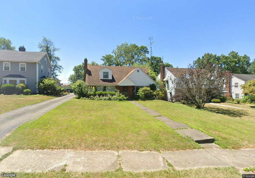
1202 22nd St NE Canton, OH 44714
Colonial Heights NeighborhoodEstimated Value: $182,000 - $206,000
3
Beds
3
Baths
2,006
Sq Ft
$96/Sq Ft
Est. Value
About This Home
This home is located at 1202 22nd St NE, Canton, OH 44714 and is currently estimated at $192,178, approximately $95 per square foot. 1202 22nd St NE is a home located in Stark County with nearby schools including Belle Stone Elementary School, Early Learning Center @ Schreiber, and Youtz Intermediate School.
Ownership History
Date
Name
Owned For
Owner Type
Purchase Details
Closed on
Feb 17, 2021
Sold by
Estate Of Ann Henderson
Bought by
Johnson Peter Todd
Current Estimated Value
Purchase Details
Closed on
Oct 29, 2002
Sold by
Johnson Lois A and Henderson Lois A
Bought by
Henderson Lois A
Home Financials for this Owner
Home Financials are based on the most recent Mortgage that was taken out on this home.
Original Mortgage
$79,500
Interest Rate
6.18%
Mortgage Type
Purchase Money Mortgage
Purchase Details
Closed on
Oct 14, 1992
Purchase Details
Closed on
Feb 4, 1991
Create a Home Valuation Report for This Property
The Home Valuation Report is an in-depth analysis detailing your home's value as well as a comparison with similar homes in the area
Home Values in the Area
Average Home Value in this Area
Purchase History
| Date | Buyer | Sale Price | Title Company |
|---|---|---|---|
| Johnson Peter Todd | -- | None Available | |
| Henderson Lois A | -- | Cresent Title Agency | |
| -- | $79,000 | -- | |
| -- | -- | -- |
Source: Public Records
Mortgage History
| Date | Status | Borrower | Loan Amount |
|---|---|---|---|
| Previous Owner | Henderson Lois A | $79,500 |
Source: Public Records
Tax History Compared to Growth
Tax History
| Year | Tax Paid | Tax Assessment Tax Assessment Total Assessment is a certain percentage of the fair market value that is determined by local assessors to be the total taxable value of land and additions on the property. | Land | Improvement |
|---|---|---|---|---|
| 2025 | -- | $50,760 | $14,810 | $35,950 |
| 2024 | -- | $50,760 | $14,810 | $35,950 |
| 2023 | $2,279 | $37,390 | $9,560 | $27,830 |
| 2022 | $2,217 | $37,390 | $9,560 | $27,830 |
| 2021 | $2,240 | $37,390 | $9,560 | $27,830 |
| 2020 | $1,398 | $30,070 | $7,700 | $22,370 |
| 2019 | $1,220 | $30,070 | $7,700 | $22,370 |
| 2018 | $1,227 | $30,070 | $7,700 | $22,370 |
| 2017 | $1,238 | $28,320 | $7,280 | $21,040 |
| 2016 | $1,242 | $28,320 | $7,280 | $21,040 |
| 2015 | $1,249 | $28,320 | $7,280 | $21,040 |
| 2014 | $1,457 | $30,210 | $7,770 | $22,440 |
| 2013 | $701 | $30,210 | $7,770 | $22,440 |
Source: Public Records
Map
Nearby Homes
- 0 Rowland Ave NE Unit 5089960
- 2219 Rowland Ave NE
- 908 22nd St NE
- 1220 25th St NE
- 918 19th St NE
- 1513 22nd St NE
- 1126 18th St NE
- 1734 Rowland Ave NE
- 1219 17th St NE
- 1210 17th St NE
- 1115 Colonial Blvd NE
- 2510 Gross Ave NE
- 1321 Warrick Place NE
- 1607 18th St NE
- 2015 Maple Ave NE
- 1602 18th St NE
- 2315 Maple Ave NE
- 2216 University Ave NW
- 802 17th St NE
- 2100 Maple Ave NE
- 1206 22nd St NE
- 1126 22nd St NE
- 1120 22nd St NE
- 1212 22nd St NE
- 1201 21st St NE
- 1125 21st St NE
- 1114 22nd St NE
- 1209 21st St NE
- 1121 21st St NE
- 1213 21st St NE
- 1117 21st St NE
- 1201 22nd St NE
- 1127 22nd St NE
- 1104 22nd St NE
- 1213 22nd St NE
- 1221 21st St NE
- 1223 22nd St NE
- 1217 22nd St NE
- 1121 22nd St NE
- 1115 21st St NE