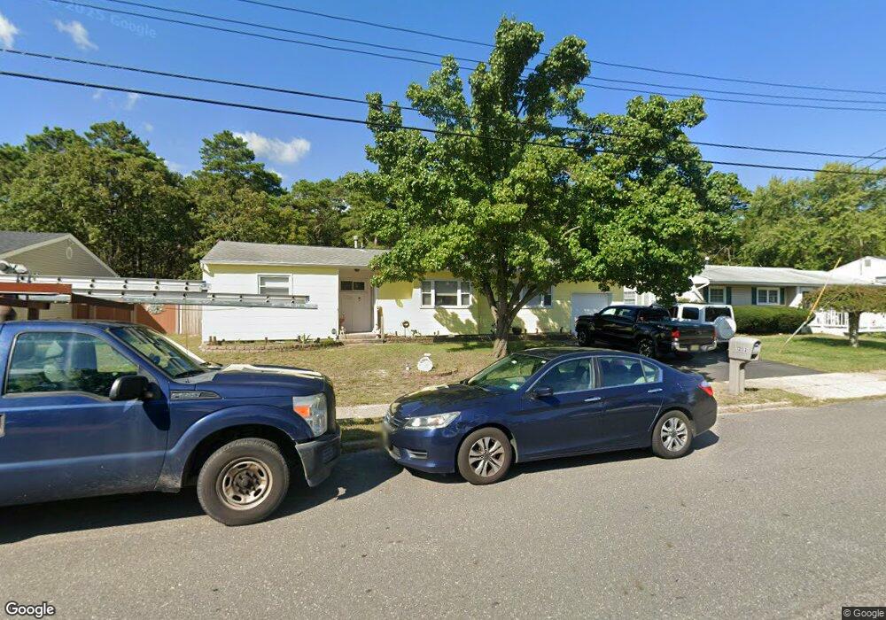
1202 Cattus Island Blvd Toms River, NJ 08753
Estimated Value: $372,861 - $428,000
3
Beds
1
Bath
1,130
Sq Ft
$362/Sq Ft
Est. Value
About This Home
This home is located at 1202 Cattus Island Blvd, Toms River, NJ 08753 and is currently estimated at $409,215, approximately $362 per square foot. 1202 Cattus Island Blvd is a home located in Ocean County.
Ownership History
Date
Name
Owned For
Owner Type
Purchase Details
Closed on
Sep 20, 2013
Sold by
Hornig Donald J and Hornig Susan P
Bought by
Forest Raymond M and Forest Alexis M
Current Estimated Value
Home Financials for this Owner
Home Financials are based on the most recent Mortgage that was taken out on this home.
Original Mortgage
$186,459
Outstanding Balance
$136,740
Interest Rate
4.5%
Mortgage Type
FHA
Estimated Equity
$272,475
Create a Home Valuation Report for This Property
The Home Valuation Report is an in-depth analysis detailing your home's value as well as a comparison with similar homes in the area
Home Values in the Area
Average Home Value in this Area
Purchase History
| Date | Buyer | Sale Price | Title Company |
|---|---|---|---|
| Forest Raymond M | $189,900 | Multiple |
Source: Public Records
Mortgage History
| Date | Status | Borrower | Loan Amount |
|---|---|---|---|
| Open | Forest Raymond M | $186,459 |
Source: Public Records
Tax History Compared to Growth
Tax History
| Year | Tax Paid | Tax Assessment Tax Assessment Total Assessment is a certain percentage of the fair market value that is determined by local assessors to be the total taxable value of land and additions on the property. | Land | Improvement |
|---|---|---|---|---|
| 2025 | $4,347 | $238,700 | $107,000 | $131,700 |
| 2024 | $4,132 | $238,700 | $107,000 | $131,700 |
| 2023 | $3,984 | $238,700 | $107,000 | $131,700 |
| 2022 | $3,984 | $238,700 | $107,000 | $131,700 |
| 2021 | $4,133 | $165,000 | $89,300 | $75,700 |
| 2020 | $4,115 | $165,000 | $89,300 | $75,700 |
| 2019 | $3,937 | $165,000 | $89,300 | $75,700 |
| 2018 | $3,884 | $165,000 | $89,300 | $75,700 |
| 2017 | $3,851 | $165,000 | $89,300 | $75,700 |
| 2016 | $3,750 | $165,000 | $89,300 | $75,700 |
| 2015 | $3,609 | $165,000 | $89,300 | $75,700 |
| 2014 | $3,435 | $165,000 | $89,300 | $75,700 |
Source: Public Records
Map
Nearby Homes
- 956 Meredith Dr
- 948 Hazelwood Rd
- 1181 Fischer Blvd
- 914 Neville St
- 1035 Tralee Dr
- 921 Tudor Dr
- 5 Dublin Ct
- 1221 Bewick St
- 141 Yellowbank Rd
- 5 Selena Place
- 1097 Westlake Dr
- 1090 Westlake Dr
- 1099 Fairview Dr
- 872 Devonshire Rd
- 804 Neville St
- 1052 Bell St
- 912 New Jersey Ave
- 893 New Jersey Ave
- 1088 Kells Ct
- 798A Warren St Unit A
- 1206 Cattus Island Blvd
- 1198 Cattus Island Blvd
- 1203 Cattus Island Blvd
- 1194 Cattus Island Blvd
- 1210 Cattus Island Blvd
- 1207 Cattus Island Blvd
- 977 Hazelwood Rd
- 984 Cooper Dr
- 1214 Cattus Island Blvd
- 987 Cooper Dr
- 1186 Cattus Island Blvd
- 973 Hazelwood Rd
- 1000 Hunt Dr
- 985 Cooper Dr
- 996 Hunt Dr
- 980 Cooper Dr
- 976 Hazelwood Rd
- 992 Hunt Dr
- 971 Hazelwood Rd
- 981 Cooper Dr