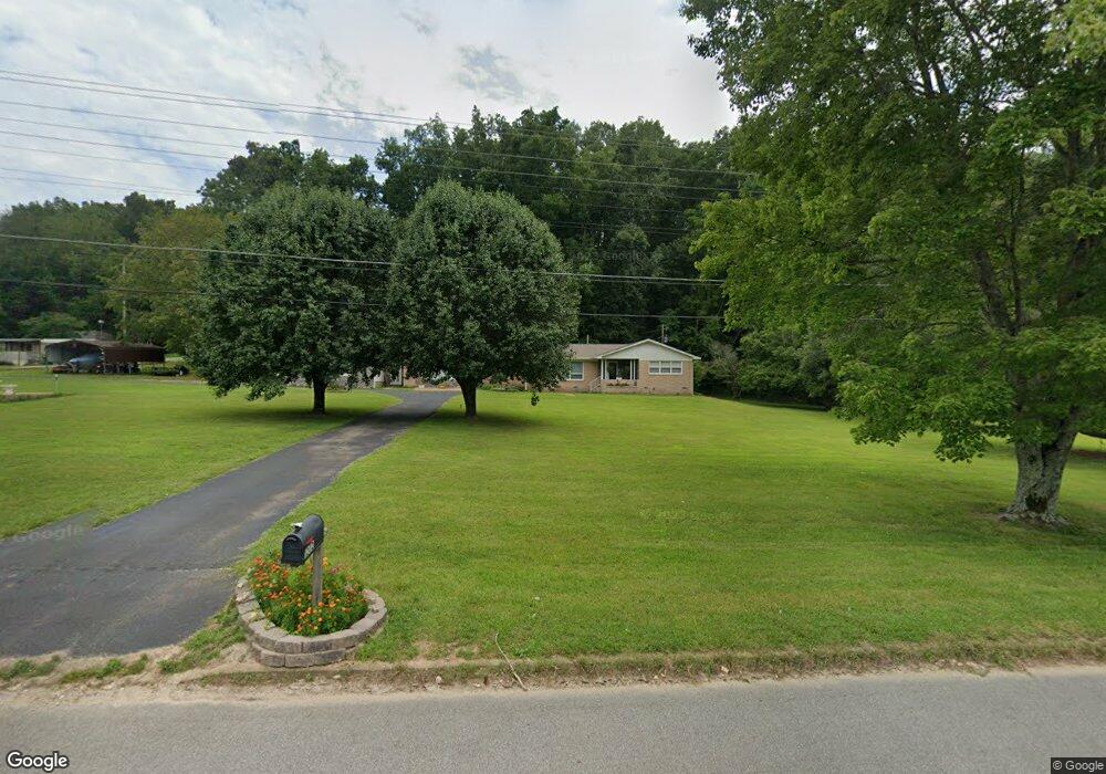
1202 Highway 70 W Waverly, TN 37185
Estimated Value: $227,000 - $367,000
--
Bed
3
Baths
3,101
Sq Ft
$91/Sq Ft
Est. Value
About This Home
This home is located at 1202 Highway 70 W, Waverly, TN 37185 and is currently estimated at $283,386, approximately $91 per square foot. 1202 Highway 70 W is a home located in Humphreys County.
Ownership History
Date
Name
Owned For
Owner Type
Purchase Details
Closed on
Jun 18, 1997
Bought by
Sherrod Michael L and Sherrod Judy D
Current Estimated Value
Purchase Details
Closed on
Mar 14, 1995
Bought by
Hamm Richard and Diane Elizabeth
Purchase Details
Closed on
Jul 6, 1992
Bought by
Stewart Jacqueline
Purchase Details
Closed on
Mar 15, 1991
Bought by
Bass Miller G
Purchase Details
Closed on
Dec 18, 1984
Bought by
Bradley J L
Purchase Details
Closed on
Aug 4, 1983
Purchase Details
Closed on
May 15, 1963
Create a Home Valuation Report for This Property
The Home Valuation Report is an in-depth analysis detailing your home's value as well as a comparison with similar homes in the area
Home Values in the Area
Average Home Value in this Area
Purchase History
| Date | Buyer | Sale Price | Title Company |
|---|---|---|---|
| Sherrod Michael L | $85,000 | -- | |
| Hamm Richard | $70,000 | -- | |
| Stewart Jacqueline | $59,000 | -- | |
| Bass Miller G | $20,000 | -- | |
| Bradley J L | -- | -- | |
| -- | -- | -- | |
| -- | -- | -- |
Source: Public Records
Tax History Compared to Growth
Tax History
| Year | Tax Paid | Tax Assessment Tax Assessment Total Assessment is a certain percentage of the fair market value that is determined by local assessors to be the total taxable value of land and additions on the property. | Land | Improvement |
|---|---|---|---|---|
| 2024 | $1,527 | $50,125 | $8,000 | $42,125 |
| 2023 | $1,528 | $50,125 | $8,000 | $42,125 |
| 2022 | $1,231 | $38,350 | $5,875 | $32,475 |
| 2021 | $1,231 | $38,350 | $5,875 | $32,475 |
| 2020 | $1,231 | $38,350 | $5,875 | $32,475 |
| 2019 | $1,048 | $31,825 | $5,825 | $26,000 |
| 2018 | $1,048 | $31,825 | $5,825 | $26,000 |
| 2017 | $1,048 | $31,825 | $5,825 | $26,000 |
| 2016 | $1,136 | $31,925 | $5,850 | $26,075 |
| 2015 | $1,136 | $31,925 | $5,850 | $26,075 |
| 2014 | $1,136 | $31,932 | $0 | $0 |
Source: Public Records
Map
Nearby Homes
- 200 Brown Town Rd
- 106 Dupont Ave
- 201 Park Cir
- 1 Main St W
- 107 W End Dr
- 2151 Bakerville Rd
- 202 Bowen Heights Dr
- 191 Forks River Rd
- 565 Landfill Rd
- 206 Collier Ave
- 437 W Main St
- 3158 W Trace Creek Rd
- 221 Carroll Ave
- 314 N Maple Ave
- 312 N Maple Ave
- 0 Mill St
- Lot #18 Foxwood Dr
- 0 Bear Hollow Dr Unit RTC3002566
- 0 Bear Hollow Dr Unit 24022394
- 0 Bear Hollow Dr Unit 24022393
- 1216 Highway 70 W
- 1207 Highway 70 W
- 1114 Highway 70 W
- 1211 Highway 70 W
- 1110 Highway 70 W
- 1102 Highway 70 W
- 1116 Highway 70 W
- 1100 Highway 70 W
- 1108 Highway 70 W
- 111 Ulcer Hollow Rd
- 1230 Highway 70 W
- 1068 W Main St
- 1066 W Main St
- 1064 W Main St
- 1062 W Main St
- 1056 W Main St
- 141 Stevens Rd
- 117 Stevens Rd
- 2199 W Trace Creek Rd
- 140 Stevens Rd