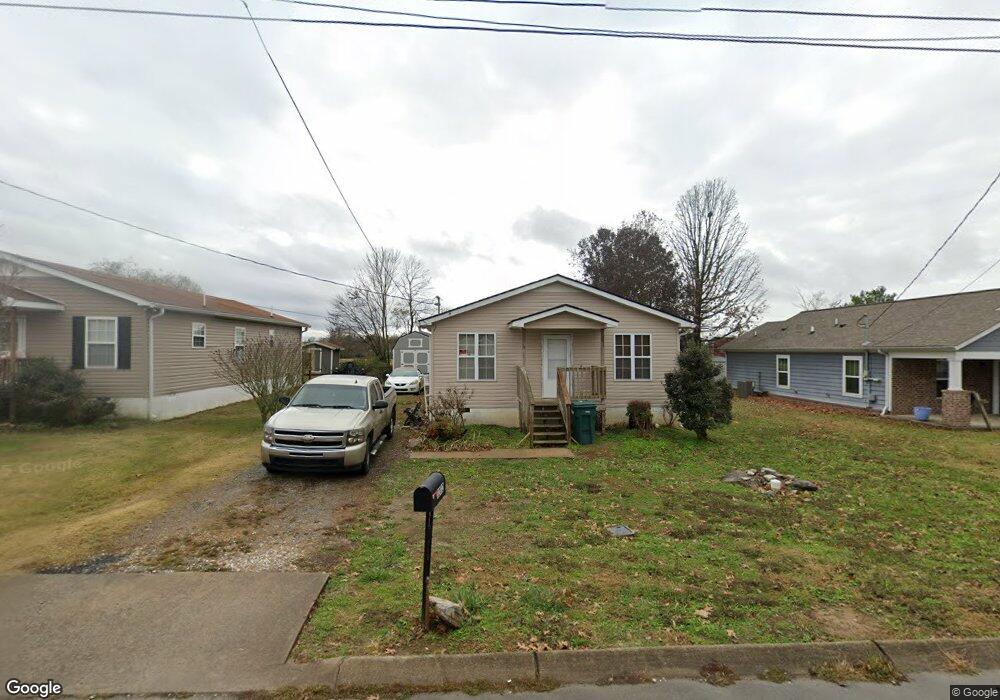
1202 Mimosa Ct Lebanon, TN 37087
Estimated Value: $162,000 - $312,000
--
Bed
2
Baths
1,222
Sq Ft
$197/Sq Ft
Est. Value
About This Home
This home is located at 1202 Mimosa Ct, Lebanon, TN 37087 and is currently estimated at $241,128, approximately $197 per square foot. 1202 Mimosa Ct is a home located in Wilson County with nearby schools including Sam Houston Elementary School, Walter J. Baird Middle School, and Lebanon High School.
Ownership History
Date
Name
Owned For
Owner Type
Purchase Details
Closed on
Jun 25, 2017
Sold by
Hubbard Eunlce
Bought by
Carter Titus Dewayne
Current Estimated Value
Purchase Details
Closed on
Jan 17, 2007
Sold by
Habitat For Humanity Of Wi
Bought by
Carter Titus D
Home Financials for this Owner
Home Financials are based on the most recent Mortgage that was taken out on this home.
Original Mortgage
$55,500
Interest Rate
6.21%
Purchase Details
Closed on
Mar 22, 2001
Bought by
Habitat For Humanity
Purchase Details
Closed on
Mar 9, 2001
Bought by
Pals Llc
Create a Home Valuation Report for This Property
The Home Valuation Report is an in-depth analysis detailing your home's value as well as a comparison with similar homes in the area
Home Values in the Area
Average Home Value in this Area
Purchase History
| Date | Buyer | Sale Price | Title Company |
|---|---|---|---|
| Carter Titus Dewayne | -- | None Available | |
| Carter Titus D | $55,500 | -- | |
| Habitat For Humanity | $196,000 | -- | |
| Pals Llc | $88,000 | -- |
Source: Public Records
Mortgage History
| Date | Status | Borrower | Loan Amount |
|---|---|---|---|
| Previous Owner | Pals Llc | $55,500 |
Source: Public Records
Tax History Compared to Growth
Tax History
| Year | Tax Paid | Tax Assessment Tax Assessment Total Assessment is a certain percentage of the fair market value that is determined by local assessors to be the total taxable value of land and additions on the property. | Land | Improvement |
|---|---|---|---|---|
| 2024 | $802 | $36,350 | $6,250 | $30,100 |
| 2022 | $1,051 | $36,350 | $6,250 | $30,100 |
| 2021 | $1,051 | $36,350 | $6,250 | $30,100 |
| 2020 | $1,087 | $36,350 | $6,250 | $30,100 |
| 2019 | $248 | $28,900 | $2,475 | $26,425 |
| 2018 | $1,015 | $28,900 | $2,475 | $26,425 |
| 2017 | $1,015 | $28,900 | $2,475 | $26,425 |
| 2016 | $1,015 | $28,900 | $2,475 | $26,425 |
| 2015 | $1,048 | $28,900 | $2,475 | $26,425 |
| 2014 | $932 | $25,688 | $0 | $0 |
Source: Public Records
Map
Nearby Homes
- 1063 Bluebird Rd
- 544 Trousdale Ferry Pike
- 6019 Hunters Village Dr
- 234 Draper Ln
- 651 Trousdale Ferry Pike
- 809 Carthage Hwy
- 564 Twyla Dr
- 560 Twyla Dr
- 106 Pekka Dr
- 628 Bella Ct
- 530 Park Ave
- 722 Park Ave
- 702 Arabella Dr
- 217 Mcgregor St
- 510 Watson St
- 508 Watson St
- 427 Rome Pike
- 213 Owen St
- Beethoven Plan at Village Square
- 540 Kipton Trail
- 1194 Mimosa Ct
- 1210 Mimosa Ct
- 1218 Mimosa Ct
- 1186 Mimosa Ct
- 1226 Mimosa Ct
- 1203 Mimosa Ct
- 1195 Mimosa Ct
- 1211 Mimosa Ct
- 84 Joseph St
- 1187 Mimosa Ct
- 1219 Mimosa Ct
- 41 Joseph St
- 1234 Mimosa Ct
- 1227 Mimosa Ct
- 110 Joseph St Unit A
- 112 Joseph St Unit B
- 100 Joseph St
- 1242 Mimosa Ct
- 1235 Mimosa Ct
- 49 Joseph St