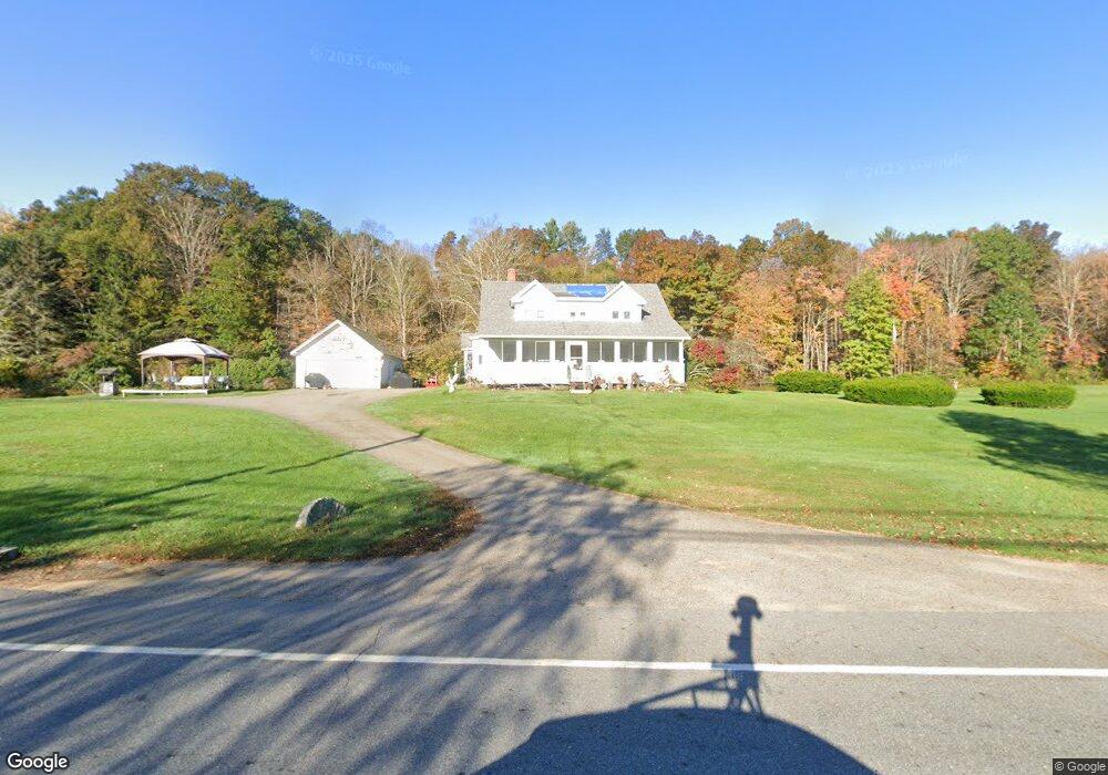
1202 N Brookfield Rd Oakham, MA 01068
Estimated Value: $450,751 - $543,000
3
Beds
1
Bath
1,935
Sq Ft
$248/Sq Ft
Est. Value
About This Home
This home is located at 1202 N Brookfield Rd, Oakham, MA 01068 and is currently estimated at $479,688, approximately $247 per square foot. 1202 N Brookfield Rd is a home located in Worcester County with nearby schools including Quabbin Regional Middle School and Quabbin Regional High School.
Ownership History
Date
Name
Owned For
Owner Type
Purchase Details
Closed on
Mar 14, 2020
Sold by
Dean Jordan A
Bought by
Dean Brian E and Dean Jordan A
Current Estimated Value
Purchase Details
Closed on
Jul 13, 2017
Sold by
Dean Jordan A
Bought by
Dean Brian E and Dean Jordan A
Purchase Details
Closed on
Jul 10, 1991
Sold by
Dean Susan E
Bought by
Dean Brian E
Create a Home Valuation Report for This Property
The Home Valuation Report is an in-depth analysis detailing your home's value as well as a comparison with similar homes in the area
Home Values in the Area
Average Home Value in this Area
Purchase History
| Date | Buyer | Sale Price | Title Company |
|---|---|---|---|
| Dean Brian E | -- | None Available | |
| Dean Brian E | -- | -- | |
| Dean Brian E | $13,000 | -- |
Source: Public Records
Mortgage History
| Date | Status | Borrower | Loan Amount |
|---|---|---|---|
| Previous Owner | Dean Brian E | $15,000 |
Source: Public Records
Tax History
| Year | Tax Paid | Tax Assessment Tax Assessment Total Assessment is a certain percentage of the fair market value that is determined by local assessors to be the total taxable value of land and additions on the property. | Land | Improvement |
|---|---|---|---|---|
| 2025 | $4,253 | $368,200 | $181,800 | $186,400 |
| 2024 | $3,903 | $352,300 | $179,100 | $173,200 |
| 2023 | $3,778 | $326,500 | $162,200 | $164,300 |
| 2022 | $3,632 | $285,500 | $146,500 | $139,000 |
| 2021 | $1,941 | $270,400 | $143,400 | $127,000 |
| 2020 | $3,412 | $251,800 | $140,100 | $111,700 |
| 2019 | $393 | $243,200 | $134,100 | $109,100 |
| 2018 | $3,434 | $225,900 | $122,000 | $103,900 |
| 2017 | $3,219 | $225,900 | $122,000 | $103,900 |
| 2016 | $3,097 | $222,800 | $118,900 | $103,900 |
| 2015 | $3,048 | $222,800 | $118,900 | $103,900 |
| 2014 | $2,887 | $222,800 | $118,900 | $103,900 |
Source: Public Records
Map
Nearby Homes
- 1310 N Brookfield Rd
- 1380 N Brookfield Rd
- 116 Spencer Rd
- Lot 0 N Brookfield Rd
- 67 Maple St
- 241 N Brookfield Rd
- 275 Crawford Rd
- 1109 New Braintree Rd
- 926 Old Turnpike Rd
- 21 Wildbrook Dr
- 311 Pleasantdale Rd
- 122 Integrity Dr Unit 61
- Lot 11 Pleasantdale Rd
- 38 Edson Rd
- 621 Woods Rd
- 196 N Spencer Rd
- 111 Northwest Rd
- Lot 6 Irish Ln
- Lot 2 Barrack Hill Rd
- 0 Barrack Hill Rd Unit 73395148
- 1246 N Brookfield Rd
- 1179 N Brookfield Rd
- 1251 N Brookfield Rd
- 1293 N Brookfield Rd
- 1158 N Brookfield Rd
- Lot 0 N Brookfield Rd
- Lot 3 N Brookfield Rd
- Lot 4 N Brookfield Rd
- Lot B N Brookfield Rd
- Lot S N Brookfield Rd
- Lot #1 N Brookfield Rd
- 1300 N Brookfield Rd
- 1291 N Brookfield Rd
- 1291 N Brookfield Rd Unit 1
- 1081 N Brookfield Rd
- 1322 N Brookfield Rd
- 1079 N Brookfield Rd
- 140 Spencer Rd
- 1352 N Brookfield Rd
- 78 Spencer Rd
Your Personal Tour Guide
Ask me questions while you tour the home.