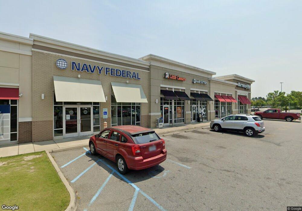
1202 N Main St Suffolk, VA 23434
Holy Neck Neighborhood
--
Bed
--
Bath
5,002
Sq Ft
2.92
Acres
About This Home
This home is located at 1202 N Main St, Suffolk, VA 23434. 1202 N Main St is a home located in Suffolk City with nearby schools including Elephant's Fork Elementary School, King's Fork Middle School, and King's Fork High School.
Ownership History
Date
Name
Owned For
Owner Type
Purchase Details
Closed on
Sep 24, 2012
Sold by
Realty Income Corporation
Bought by
Suffolk Main St Shoppes Llc
Home Financials for this Owner
Home Financials are based on the most recent Mortgage that was taken out on this home.
Original Mortgage
$1,500,000
Outstanding Balance
$1,042,608
Interest Rate
3.59%
Mortgage Type
Commercial
Create a Home Valuation Report for This Property
The Home Valuation Report is an in-depth analysis detailing your home's value as well as a comparison with similar homes in the area
Home Values in the Area
Average Home Value in this Area
Purchase History
| Date | Buyer | Sale Price | Title Company |
|---|---|---|---|
| Suffolk Main St Shoppes Llc | $2,080,000 | -- |
Source: Public Records
Mortgage History
| Date | Status | Borrower | Loan Amount |
|---|---|---|---|
| Open | Suffolk Main St Shoppes Llc | $1,500,000 |
Source: Public Records
Tax History Compared to Growth
Tax History
| Year | Tax Paid | Tax Assessment Tax Assessment Total Assessment is a certain percentage of the fair market value that is determined by local assessors to be the total taxable value of land and additions on the property. | Land | Improvement |
|---|---|---|---|---|
| 2024 | $54,799 | $4,808,400 | $1,752,000 | $3,056,400 |
| 2023 | $54,060 | $3,132,600 | $1,168,000 | $1,964,600 |
| 2022 | $34,145 | $3,132,600 | $1,168,000 | $1,964,600 |
| 2021 | $33,932 | $3,056,900 | $1,253,200 | $1,803,700 |
| 2020 | $35,718 | $3,217,800 | $1,253,200 | $1,964,600 |
| 2019 | $35,718 | $3,217,800 | $1,253,200 | $1,964,600 |
| 2018 | $36,216 | $3,226,800 | $1,253,300 | $1,973,500 |
| 2017 | $34,527 | $3,226,800 | $1,253,300 | $1,973,500 |
| 2016 | $34,527 | $3,226,800 | $1,253,300 | $1,973,500 |
| 2015 | $7,898 | $3,226,800 | $1,253,300 | $1,973,500 |
| 2014 | $7,898 | $3,226,800 | $1,253,300 | $1,973,500 |
Source: Public Records
Map
Nearby Homes
- 825 Normandy Dr
- 170 River Point Dr
- 164 River Point Dr
- 122 River Point Dr
- 1206 Peachtree Dr
- 223 River Point Dr
- 413 Henry St
- 413 Elizabeth St
- 200 Seasons Cir Unit 703
- 410 E Constance Rd
- 127 Church St
- 310 Waterwood Way
- 418 Williams Rd
- 315 W Constance Rd Unit 320
- 1236 Willowbrook Dr
- 220 Waterwood Way
- 201 Constance Woods Dr
- 104 E Pinner St
- 103 Jordan Ave
- 416 N Broad St