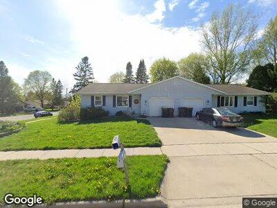
1202 Schoenhaar Dr West Bend, WI 53090
Estimated Value: $246,000 - $293,204
3
Beds
2
Baths
1,678
Sq Ft
$165/Sq Ft
Est. Value
About This Home
This home is located at 1202 Schoenhaar Dr, West Bend, WI 53090 and is currently estimated at $276,801, approximately $164 per square foot. 1202 Schoenhaar Dr is a home located in Washington County with nearby schools including Fair Park Elementary School, Silverbrook Intermediate School, and East High School.
Ownership History
Date
Name
Owned For
Owner Type
Purchase Details
Closed on
Aug 25, 2017
Sold by
Mueller Michael P and Mueller Kimberly K
Bought by
Wicks Justin L
Current Estimated Value
Home Financials for this Owner
Home Financials are based on the most recent Mortgage that was taken out on this home.
Original Mortgage
$123,578
Outstanding Balance
$104,475
Interest Rate
3.92%
Mortgage Type
New Conventional
Estimated Equity
$145,199
Create a Home Valuation Report for This Property
The Home Valuation Report is an in-depth analysis detailing your home's value as well as a comparison with similar homes in the area
Home Values in the Area
Average Home Value in this Area
Purchase History
| Date | Buyer | Sale Price | Title Company |
|---|---|---|---|
| Wicks Justin L | $127,333 | None Available |
Source: Public Records
Mortgage History
| Date | Status | Borrower | Loan Amount |
|---|---|---|---|
| Open | Wicks Justin L | $123,578 |
Source: Public Records
Tax History Compared to Growth
Tax History
| Year | Tax Paid | Tax Assessment Tax Assessment Total Assessment is a certain percentage of the fair market value that is determined by local assessors to be the total taxable value of land and additions on the property. | Land | Improvement |
|---|---|---|---|---|
| 2024 | $2,368 | $191,000 | $25,000 | $166,000 |
| 2023 | $2,103 | $122,700 | $13,000 | $109,700 |
| 2022 | $2,035 | $122,700 | $13,000 | $109,700 |
| 2021 | $2,071 | $122,700 | $13,000 | $109,700 |
| 2020 | $2,073 | $122,700 | $13,000 | $109,700 |
| 2019 | $1,993 | $122,700 | $13,000 | $109,700 |
| 2018 | $2,095 | $122,700 | $13,000 | $109,700 |
| 2017 | $1,965 | $110,100 | $13,000 | $97,100 |
| 2016 | $1,971 | $110,100 | $13,000 | $97,100 |
| 2015 | $1,973 | $110,100 | $13,000 | $97,100 |
| 2014 | $2,066 | $110,100 | $13,000 | $97,100 |
| 2013 | $2,233 | $110,100 | $13,000 | $97,100 |
Source: Public Records
Map
Nearby Homes
- 1361 Legion Cir
- 1363 Legion Cir
- 1911 Daisy Dr
- 1011 Firethorn Dr
- Lt3 N River Rd
- Lt2 N River Rd
- Lt1 N River Rd
- 2010 Hemlock St
- 1357 Lily Ave
- 1915 Canary St
- 1103 Autumn Dr
- 1113 Schmidt Rd Unit 1
- 6768 Jamestown Dr
- 6905 Jamestown Ct
- 1537 Whitewater Dr
- 2462 Wallace Lake Rd
- 2548 Wallace Lake Rd
- 167 Po St
- 1790 Arbor Vista Place
- 611 North St
- 1204 Schoenhaar Dr
- 1202 Schoenhaar Dr
- 1516 Hans St
- 1514 Hans St
- 1212 Schoenhaar Dr
- 1203 Schoenhaar Dr
- 1513 Hans St
- 1508 Hans St
- 1511 Annie Place
- 1124 Schoenhaar Dr
- 1603 Annie St
- 1507 Annie Place
- 1125 Schoenhaar Dr
- 1504 Hans St
- 1502 Hans St
- 1505 Hans St
- 1520 Annie Place
- 1609 Annie St
- 1610 Hans St
- 1608 Hans St