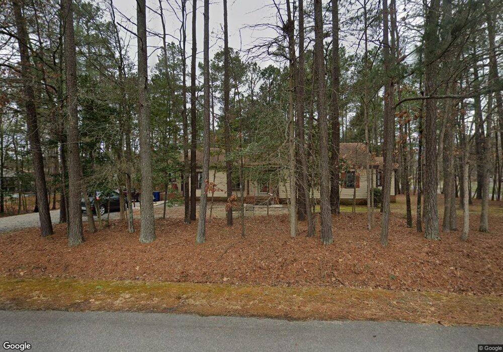
12021 Dew Ln Midlothian, VA 23112
Estimated Value: $366,000 - $413,000
4
Beds
2
Baths
1,832
Sq Ft
$213/Sq Ft
Est. Value
About This Home
This home is located at 12021 Dew Ln, Midlothian, VA 23112 and is currently estimated at $391,015, approximately $213 per square foot. 12021 Dew Ln is a home located in Chesterfield County with nearby schools including Evergreen Elementary, Swift Creek Middle, and Clover Hill High.
Ownership History
Date
Name
Owned For
Owner Type
Purchase Details
Closed on
Jun 26, 2001
Bought by
Watkins John D and Watkins Diane M
Current Estimated Value
Home Financials for this Owner
Home Financials are based on the most recent Mortgage that was taken out on this home.
Original Mortgage
$182,992
Outstanding Balance
$70,264
Interest Rate
7.09%
Mortgage Type
New Conventional
Estimated Equity
$320,751
Create a Home Valuation Report for This Property
The Home Valuation Report is an in-depth analysis detailing your home's value as well as a comparison with similar homes in the area
Home Values in the Area
Average Home Value in this Area
Purchase History
We collect this data history from publicly available records. To have your information removed, we recommend requesting removal directly through your county’s website.
| Date | Buyer | Sale Price | Title Company |
|---|---|---|---|
| Watkins John D | -- | -- | |
| Watkins John D | -- | -- |
Source: Public Records
Mortgage History
We collect this data history from publicly available records. To have your information removed, we recommend requesting removal directly through your county’s website.
| Date | Status | Borrower | Loan Amount |
|---|---|---|---|
| Open | Watkins John D | $182,992 | |
| Closed | Watkins John D | $10,000 |
Source: Public Records
Tax History
| Year | Tax Paid | Tax Assessment Tax Assessment Total Assessment is a certain percentage of the fair market value that is determined by local assessors to be the total taxable value of land and additions on the property. | Land | Improvement |
|---|---|---|---|---|
| 2025 | $25 | $333,000 | $61,000 | $272,000 |
| 2024 | $25 | $304,300 | $58,000 | $246,300 |
| 2023 | $2,579 | $283,400 | $54,000 | $229,400 |
| 2022 | $2,502 | $272,000 | $49,000 | $223,000 |
| 2021 | $2,396 | $245,300 | $46,000 | $199,300 |
| 2020 | $2,263 | $238,200 | $46,000 | $192,200 |
| 2019 | $2,127 | $223,900 | $46,000 | $177,900 |
| 2018 | $1,980 | $208,400 | $44,000 | $164,400 |
| 2017 | $1,924 | $200,400 | $42,000 | $158,400 |
| 2016 | $1,884 | $196,200 | $42,000 | $154,200 |
| 2015 | $1,953 | $200,800 | $42,000 | $158,800 |
| 2014 | $1,901 | $195,400 | $42,000 | $153,400 |
Source: Public Records
Map
Nearby Homes
- 3602 Taplow Terrace
- 15806 MacLear Dr
- 12014 Taplow Rd
- 3600 Clintwood Rd
- 3230 Hollyglen Ct
- 3630 Irby Pond Dr
- 3102 Duck River Ct
- 3606 Avocado Dr
- 3013 Duck River Ct
- 3016 S Ridge Dr
- 3004 S Ridge Dr
- 2818 Brookforest Rd
- 2730 McManaway Dr
- 3130 Tadley Dr
- 2940 Kellynn Dr
- 3055 Barnack Rd
- 11000 Hull Street Rd
- 12428 Wescott Ave
- 11500 Deep Hollow Ct
- 4003 Next Level Trace
- 3603 Taplow Terrace
- 3605 Taplow Terrace
- 3601 Taplow Terrace
- 12001 Dew Ln
- 12011 Dew Ln
- 3600 Taplow Terrace
- 3607 Taplow Terrace
- 3606 Taplow Terrace
- 11921 Dew Ln
- 3609 Taplow Terrace
- 11906 Taplow Rd
- 3611 Pease Rd
- 3601 Taplow Cir
- 11911 Dew Ln
- 11908 Taplow Rd
- 3603 Taplow Cir
- 3701 Pease Rd
- 11902 Taplow Rd
- 11912 Taplow Rd
- 3600 Taplow Cir
Your Personal Tour Guide
Ask me questions while you tour the home.