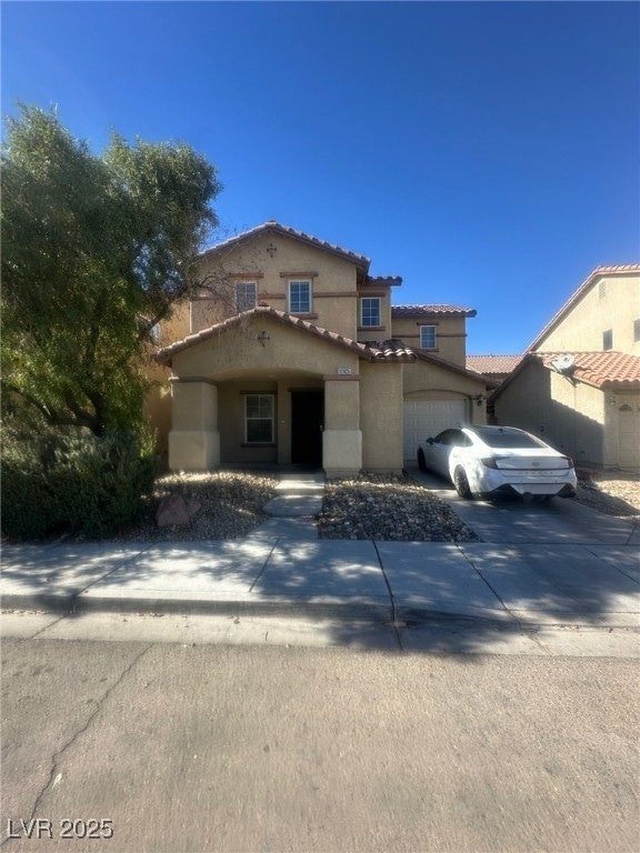
12025 Giles St Las Vegas, NV 89183
Silverado Ranch NeighborhoodHighlights
- 1 Car Attached Garage
- Desert Landscape
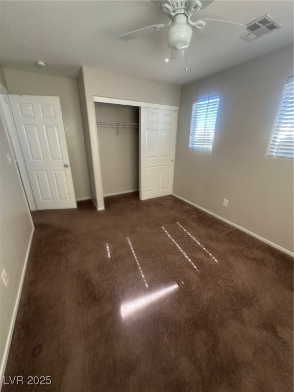
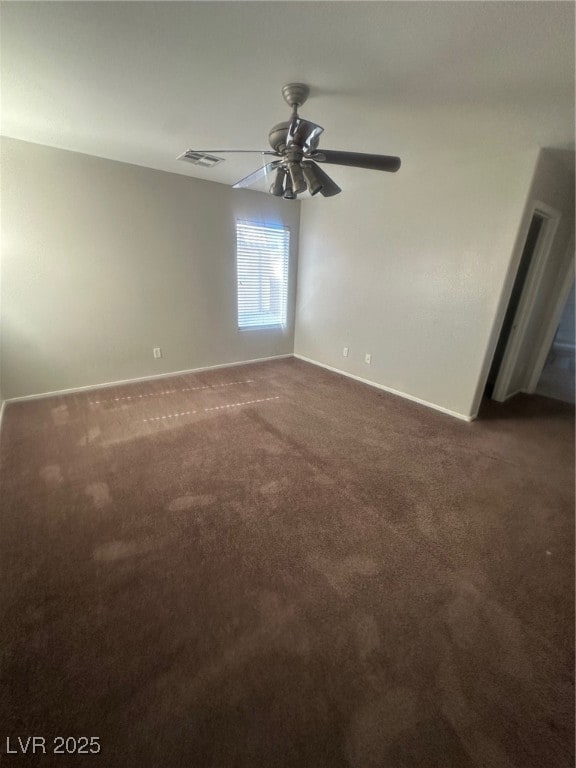
- Ceiling Fan
- Laundry Room
- Central Heating and Cooling System
- Washer and Dryer
About This Home
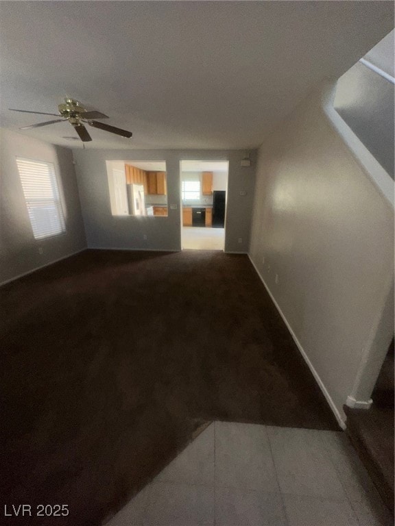
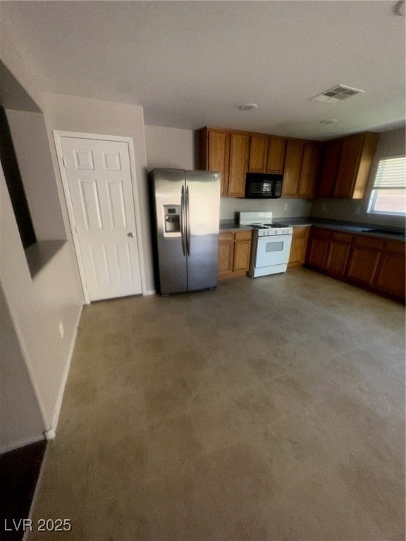
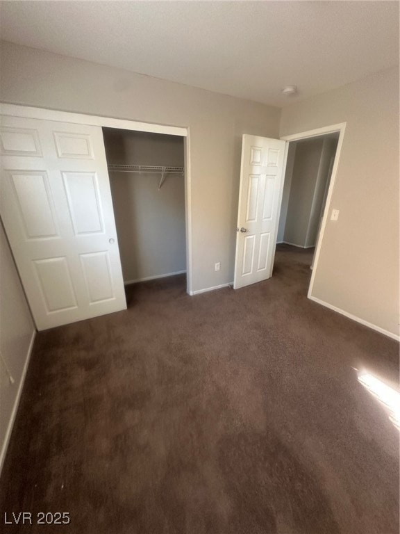
Fantastic 3 bed/2.5 bath two story home in Silverado Ranch! One car attached garage. Front living room with a ceiling fan! Open kitchen with a dining area and a pantry! All bedrooms are located upstairs. Master bedroom has a walk-in closet! Has a cute backyard with a patio and artificial grass!
Listing Agent
First United Management Group Brokerage Phone: 702-527-6851 License #S.0169212 Listed on: 11/10/2025
Home Details
Home Type
- Single Family
Est. Annual Taxes
- $1,772
Year Built
- Built in 2006
Lot Details
- 2,614 Sq Ft Lot
- East Facing Home
- Back Yard Fenced
- Block Wall Fence
- Desert Landscape
- Artificial Turf
Parking
- 1 Car Attached Garage
- Inside Entrance
Home Design
- Frame Construction
- Tile Roof
- Stucco
Interior Spaces
- 1,550 Sq Ft Home
- 2-Story Property
- Ceiling Fan
- Blinds
Kitchen
- Gas Range
- Microwave
- Dishwasher
- Disposal
Flooring
- Carpet
- Linoleum
- Vinyl
Bedrooms and Bathrooms
- 3 Bedrooms
Laundry
- Laundry Room
- Washer and Dryer
Schools
- Schorr Elementary School
- Silvestri Middle School
- Liberty High School
Utilities
- Central Heating and Cooling System
- Heating System Uses Gas
- Cable TV Available
Listing and Financial Details
- Security Deposit $1,850
- Property Available on 11/10/25
- Tenant pays for cable TV, electricity, gas, sewer, trash collection, water
- The owner pays for association fees
Community Details
Overview
- Property has a Home Owners Association
- Rmi Association, Phone Number (702) 932-6720
- Terracina 3 South Subdivision
- The community has rules related to covenants, conditions, and restrictions
Pet Policy
- Pets allowed on a case-by-case basis
- Pet Deposit $300
Map
Source: Las Vegas REALTORS®
MLS Number: 2734173
APN: 191-04-414-016
Disclaimer: Certain information contained herein is derived from information provided by parties other than Homes.com. All information provided is deemed reliable, but is not guaranteed to be accurate and should be independently verified.
![]() The data relating to real estate for sale on this web site comes in part from the INTERNET DATA EXCHANGE Program of the Greater Las Vegas Association of REALTORS® MLS. Real estate listings held by brokerage firms other than this site owner are marked with the IDX logo. Information is deemed reliable but not guaranteed. Copyright 2025 of the Greater Las Vegas Association of REALTORS® MLS. All rights reserved.
The data relating to real estate for sale on this web site comes in part from the INTERNET DATA EXCHANGE Program of the Greater Las Vegas Association of REALTORS® MLS. Real estate listings held by brokerage firms other than this site owner are marked with the IDX logo. Information is deemed reliable but not guaranteed. Copyright 2025 of the Greater Las Vegas Association of REALTORS® MLS. All rights reserved.
- 28 Manor Hill Ave
- 11920 Snow Bank St
- 11929 Haven St
- 11882 Snow Bank St
- 104 Masserta Ct
- 11934 Wild Chamomile St
- 69 Desert Palm Dr
- 57 Foxworth Ct
- 11862 Partenio Ct
- 25 Barbara Ln Unit 26
- 25 Barbara Ln Unit 80
- 25 Barbara Ln Unit 53
- 11768 San Rossore Ct
- 72 Dark Creek Ave
- 11769 Elianto St
- 11746 Magliana St
- 12104 Mojave Gold Rd Unit 4
- 11819 Bella Luna St
- 11771 Bergamo Ct
- 12106 Scarlet Ember Rd Unit 2
- 33 Dandy View Ave
- 11981 Fairfax Ridge St
- 12015 Spice Tree St
- 12045 Spice Tree St
- 83 Lockheed Ave
- 11951 Camden Brook St
- 75 Aldarra Canyon Ave
- 11957 Haven St
- 30 Dovewood Ave
- 126 Solidago Ave
- 21 Harbor Pines Ct
- 11924 Lemon Balm St
- 11786 Pine Shadows St
- 11849 Partenio Ct
- 175 E Bruner Ave
- 25 Barbara Ln Unit 80
- 25 Barbara Ln Unit 14
- 25 Barbara Ln Unit 62
- 25 Barbara Ln Unit 44
- 25 Barbara Ln Unit 17
