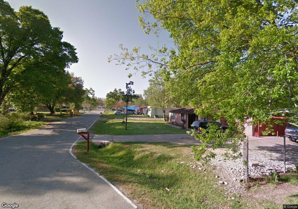
12029 N Lane Cir Houston, TX 77086
Recreation Farms NeighborhoodEstimated Value: $369,000 - $707,000
3
Beds
2
Baths
1,531
Sq Ft
$332/Sq Ft
Est. Value
About This Home
This home is located at 12029 N Lane Cir, Houston, TX 77086 and is currently estimated at $508,055, approximately $331 per square foot. 12029 N Lane Cir is a home located in Harris County with nearby schools including Eiland Elementary School, Klein Intermediate School, and Klein Forest High School.
Ownership History
Date
Name
Owned For
Owner Type
Purchase Details
Closed on
Dec 9, 1999
Sold by
Reynolds Darla and Flynt Darla
Bought by
Camarillo Lehi F and Camarillo Constantina
Current Estimated Value
Home Financials for this Owner
Home Financials are based on the most recent Mortgage that was taken out on this home.
Original Mortgage
$67,633
Outstanding Balance
$21,316
Interest Rate
7.95%
Mortgage Type
FHA
Estimated Equity
$486,739
Create a Home Valuation Report for This Property
The Home Valuation Report is an in-depth analysis detailing your home's value as well as a comparison with similar homes in the area
Home Values in the Area
Average Home Value in this Area
Purchase History
| Date | Buyer | Sale Price | Title Company |
|---|---|---|---|
| Camarillo Lehi F | -- | Regency Title |
Source: Public Records
Mortgage History
| Date | Status | Borrower | Loan Amount |
|---|---|---|---|
| Open | Camarillo Lehi F | $67,633 | |
| Closed | Camarillo Lehi F | $3,256 |
Source: Public Records
Tax History Compared to Growth
Tax History
| Year | Tax Paid | Tax Assessment Tax Assessment Total Assessment is a certain percentage of the fair market value that is determined by local assessors to be the total taxable value of land and additions on the property. | Land | Improvement |
|---|---|---|---|---|
| 2025 | $2,688 | $449,153 | $376,909 | $72,244 |
| 2024 | $2,688 | $450,515 | $376,909 | $73,606 |
| 2023 | $2,688 | $324,879 | $251,273 | $73,606 |
| 2022 | $3,542 | $300,685 | $230,333 | $70,352 |
| 2021 | $3,414 | $163,291 | $83,758 | $79,533 |
| 2020 | $3,239 | $141,794 | $62,818 | $78,976 |
| 2019 | $3,365 | $141,794 | $62,818 | $78,976 |
| 2018 | $1,651 | $141,794 | $62,818 | $78,976 |
| 2017 | $3,031 | $141,794 | $62,818 | $78,976 |
| 2016 | $2,755 | $123,114 | $45,369 | $77,745 |
| 2015 | $2,115 | $105,551 | $45,369 | $60,182 |
| 2014 | $2,115 | $105,551 | $45,369 | $60,182 |
Source: Public Records
Map
Nearby Homes
- 00 Romona Blvd
- 6011 Killough St
- 5930 Killough St
- 5626 Spindle Dr
- 6713 Breen Dr
- 6902 Breen Dr
- 12610 Twilight Bend Ct
- 5721 Breen Dr
- 6222 Downwood Forest Dr
- 6411 Halstead Meadows Cir
- 7122 Breen Dr
- 5624 Spindle Dr
- 10730 Antoine Dr
- 8918 Bold Forest Dr
- 6622 Sutton Meadows Dr
- 5831 Longforest Dr
- 5914 Stirring Winds Ln
- 5718 Longforest Dr
- 0 Tomball Pkwy
- 00 Essie Rd
- 12025 N Lane Cir
- 12017 N Lane Cir
- 12034 N Lane Cir
- 12030 N Lane Cir
- 12013 N Lane Cir
- 6400 Chippewa Blvd
- 12022 N Lane Cir
- 12009 N Lane Cir
- 12018 N Lane Cir
- 12014 N Lane Cir
- 12005 N Lane Cir
- 12031 Tiltrum Ln
- 6406 Chippewa Blvd
- 12006 N Lane Cir
- 12027 Tiltrum Ln
- 6310 Chippewa Blvd
- 6318 Chippewa Blvd
- 6302 Chippewa Blvd
- 6111 Romona Blvd
- 12010 N Lane Cir