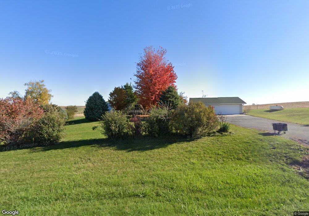
1203 410th Ave Malcom, IA 50157
Estimated Value: $176,000 - $262,000
3
Beds
2
Baths
1,836
Sq Ft
$127/Sq Ft
Est. Value
About This Home
This home is located at 1203 410th Ave, Malcom, IA 50157 and is currently estimated at $234,019, approximately $127 per square foot. 1203 410th Ave is a home located in Poweshiek County with nearby schools including Brooklyn-Guernsey-Malcom Elementary School and Brooklyn-Guernsey-Malcom Junior/Senior High School.
Ownership History
Date
Name
Owned For
Owner Type
Purchase Details
Closed on
Aug 18, 2023
Sold by
Vanderwilt Enterprises Llc
Bought by
Mccammant Jacob E and Mccammant Brianna G
Current Estimated Value
Home Financials for this Owner
Home Financials are based on the most recent Mortgage that was taken out on this home.
Original Mortgage
$235,000
Outstanding Balance
$229,645
Interest Rate
6.81%
Mortgage Type
New Conventional
Estimated Equity
$4,374
Purchase Details
Closed on
Aug 11, 2011
Sold by
Montgomery John E and Maschmann Marsha A
Bought by
Horton David E and Horton Lu Ann K
Home Financials for this Owner
Home Financials are based on the most recent Mortgage that was taken out on this home.
Original Mortgage
$107,211
Interest Rate
4.75%
Mortgage Type
FHA
Create a Home Valuation Report for This Property
The Home Valuation Report is an in-depth analysis detailing your home's value as well as a comparison with similar homes in the area
Purchase History
| Date | Buyer | Sale Price | Title Company |
|---|---|---|---|
| Mccammant Jacob E | $235,000 | None Listed On Document | |
| Horton David E | -- | None Available |
Source: Public Records
Mortgage History
| Date | Status | Borrower | Loan Amount |
|---|---|---|---|
| Open | Mccammant Jacob E | $235,000 | |
| Previous Owner | Horton David E | $107,211 |
Source: Public Records
Tax History
| Year | Tax Paid | Tax Assessment Tax Assessment Total Assessment is a certain percentage of the fair market value that is determined by local assessors to be the total taxable value of land and additions on the property. | Land | Improvement |
|---|---|---|---|---|
| 2024 | $2,248 | $145,350 | $31,000 | $114,350 |
| 2023 | $1,918 | $145,350 | $31,000 | $114,350 |
| 2022 | $2,146 | $115,510 | $15,900 | $99,610 |
| 2021 | $2,146 | $108,970 | $15,000 | $93,970 |
| 2020 | $2,094 | $108,970 | $15,000 | $93,970 |
| 2019 | $2,162 | $108,970 | $15,000 | $93,970 |
| 2018 | $2,142 | $108,970 | $15,000 | $93,970 |
| 2017 | $2,176 | $108,970 | $15,000 | $93,970 |
| 2016 | $2,072 | $108,970 | $15,000 | $93,970 |
| 2015 | $2,072 | $108,970 | $15,000 | $93,970 |
| 2014 | $2,060 | $108,970 | $15,000 | $93,970 |
Source: Public Records
Map
Nearby Homes
- 303 Clay St
- 4182 160th St
- 215 Brady St
- 528 W Pershing Dr
- 515 W Des Moines St
- 505 W Pershing Dr
- 4269 175th St
- 404 W Des Moines St
- 508 Williams St
- 611 Broadway St
- 505 E Des Moines St
- 144 Center Point Dr
- 4854 103rd St
- 135 Crabtree Rd
- 104 Ivy Dr
- 204 Eastside Ln
- 380 Timber Ridge
- 226 & 228 Center Point Dr
- 212 Eastside Ln
- 101 Canyon Rd
Your Personal Tour Guide
Ask me questions while you tour the home.