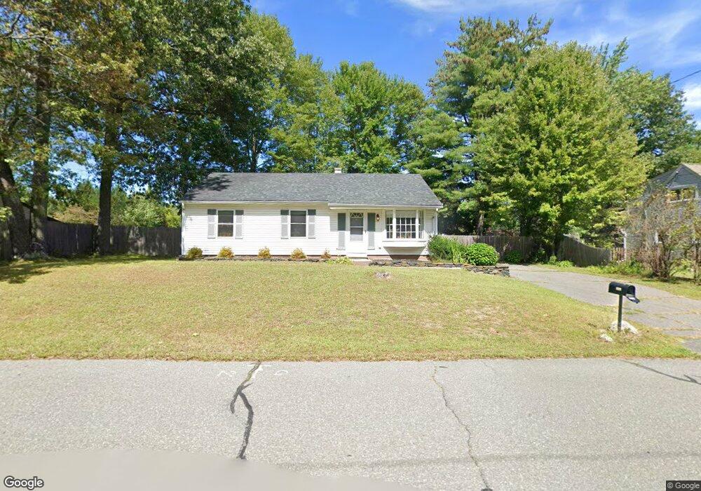
1203 Burts Pit Rd Florence, MA 01062
Florence NeighborhoodEstimated Value: $330,886 - $387,000
3
Beds
1
Bath
975
Sq Ft
$362/Sq Ft
Est. Value
About This Home
This home is located at 1203 Burts Pit Rd, Florence, MA 01062 and is currently estimated at $352,972, approximately $362 per square foot. 1203 Burts Pit Rd is a home located in Hampshire County with nearby schools including Northampton High School and Hilltown Cooperative Charter Public School.
Ownership History
Date
Name
Owned For
Owner Type
Purchase Details
Closed on
Nov 8, 2010
Sold by
Damon Tr Michael and Smith Linda
Bought by
Damon Michael and Damon Diana
Current Estimated Value
Purchase Details
Closed on
Aug 24, 2000
Sold by
Mathers Mary E
Bought by
Taylor Phyllis P
Purchase Details
Closed on
Jun 29, 1994
Sold by
Stockwell Iverna
Bought by
Mathers Mary E
Home Financials for this Owner
Home Financials are based on the most recent Mortgage that was taken out on this home.
Original Mortgage
$17,000
Interest Rate
8.55%
Mortgage Type
Purchase Money Mortgage
Create a Home Valuation Report for This Property
The Home Valuation Report is an in-depth analysis detailing your home's value as well as a comparison with similar homes in the area
Home Values in the Area
Average Home Value in this Area
Purchase History
| Date | Buyer | Sale Price | Title Company |
|---|---|---|---|
| Damon Michael | $160,000 | -- | |
| Taylor Phyllis P | $106,000 | -- | |
| Mathers Mary E | $85,600 | -- |
Source: Public Records
Mortgage History
| Date | Status | Borrower | Loan Amount |
|---|---|---|---|
| Previous Owner | Mathers Mary E | $20,000 | |
| Previous Owner | Mathers Mary E | $17,000 |
Source: Public Records
Tax History
| Year | Tax Paid | Tax Assessment Tax Assessment Total Assessment is a certain percentage of the fair market value that is determined by local assessors to be the total taxable value of land and additions on the property. | Land | Improvement |
|---|---|---|---|---|
| 2025 | $3,852 | $276,500 | $129,800 | $146,700 |
| 2024 | $3,949 | $260,000 | $123,600 | $136,400 |
| 2023 | $3,504 | $221,200 | $112,400 | $108,800 |
| 2022 | $3,687 | $206,100 | $105,100 | $101,000 |
| 2021 | $3,257 | $187,500 | $100,100 | $87,400 |
| 2020 | $3,150 | $187,500 | $100,100 | $87,400 |
| 2019 | $2,972 | $171,100 | $85,100 | $86,000 |
| 2018 | $3,018 | $177,100 | $85,100 | $92,000 |
| 2017 | $2,956 | $177,100 | $85,100 | $92,000 |
| 2016 | $2,862 | $177,100 | $85,100 | $92,000 |
| 2015 | $2,702 | $171,000 | $85,100 | $85,900 |
| 2014 | $2,632 | $171,000 | $85,100 | $85,900 |
Source: Public Records
Map
Nearby Homes
- 723 Lot B Ryan Rd
- 815 Burts Pit Rd
- 832 Westhampton Rd
- 296 Ryan Rd Unit A
- 296 Ryan Rd
- 296 Ryan Rd Unit B
- 0 W Farms Rd
- 892 Westhampton Rd
- 72 Emerson Way
- 404 Sylvester Rd
- 697 Florence Rd
- 635 Florence Rd
- 20-11 Sylvester Rd
- 42 Clark St
- 967 Florence Rd
- 98 Park Hill Rd
- 296 Old Wilson Rd
- 1260 Westhampton Rd
- 37 Landy Ave
- 67 Park St Unit A
- 1209 Burts Pit Rd
- 1195 Burts Pit Rd
- 69 Drewsen Dr
- 75 Drewsen Dr
- 1198 Burts Pit Rd
- 1206 Burts Pit Rd
- 1206 Burts Pit Rd
- 63 Drewsen Dr
- 56 Westwood Terrace
- 1187 Burts Pit Rd
- 48 Westwood Terrace
- 79 Drewsen Dr
- 1190 Burts Pit Rd
- 1214 Burts Pit Rd
- 57 Drewsen Dr
- 40 Westwood Terrace
- 1181 Burts Pit Rd
- 66 Drewsen Dr
- 83 Drewsen Dr
- 1182 Burts Pit Rd
Your Personal Tour Guide
Ask me questions while you tour the home.