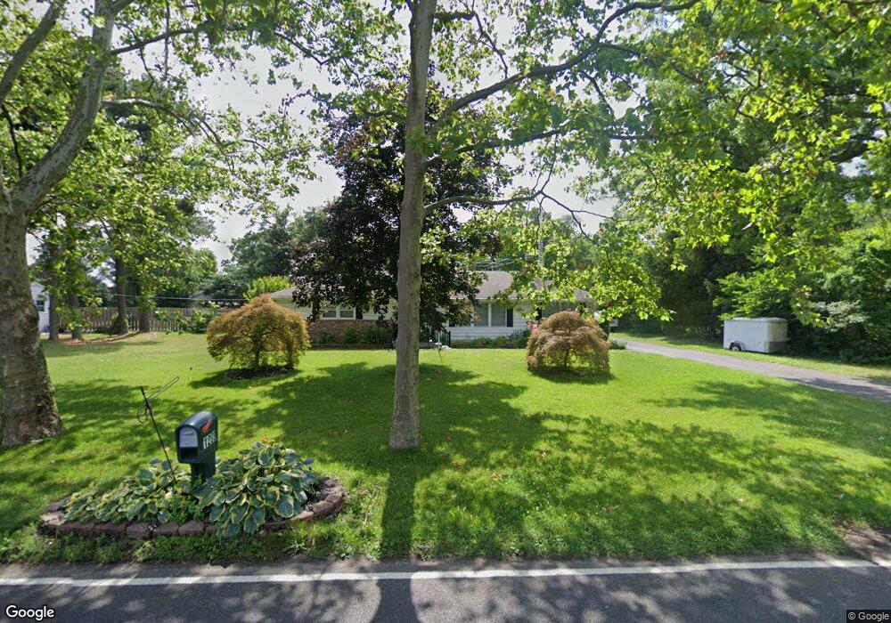
1203 Perkins Ln Beverly, NJ 08010
Estimated Value: $403,983 - $511,000
--
Bed
--
Bath
1,622
Sq Ft
$273/Sq Ft
Est. Value
About This Home
This home is located at 1203 Perkins Ln, Beverly, NJ 08010 and is currently estimated at $443,246, approximately $273 per square foot. 1203 Perkins Ln is a home located in Burlington County with nearby schools including Magowan Elementary School, Samuel M Ridgway School, and Cathedral of Love Christian School.
Ownership History
Date
Name
Owned For
Owner Type
Purchase Details
Closed on
Sep 26, 2008
Sold by
Pillsbury Russell C
Bought by
Pillsbury Russell C and Pillsbury Barbara F
Current Estimated Value
Purchase Details
Closed on
Aug 15, 2007
Sold by
Vizzoca Karen and Jenkins Debra
Bought by
Pillsbury Russell C
Home Financials for this Owner
Home Financials are based on the most recent Mortgage that was taken out on this home.
Original Mortgage
$50,000
Outstanding Balance
$31,738
Interest Rate
6.71%
Mortgage Type
Unknown
Estimated Equity
$411,508
Purchase Details
Closed on
Jun 15, 2005
Sold by
Westphal Frederick Rudolph
Bought by
Pacella Gerald M and Pacella Doris L
Create a Home Valuation Report for This Property
The Home Valuation Report is an in-depth analysis detailing your home's value as well as a comparison with similar homes in the area
Home Values in the Area
Average Home Value in this Area
Purchase History
| Date | Buyer | Sale Price | Title Company |
|---|---|---|---|
| Pillsbury Russell C | -- | None Available | |
| Pillsbury Russell C | $300,000 | Weichert Title Agency | |
| Pacella Gerald M | $265,000 | Surety Title Corp |
Source: Public Records
Mortgage History
| Date | Status | Borrower | Loan Amount |
|---|---|---|---|
| Open | Pillsbury Russell C | $50,000 | |
| Open | Pillsbury Russell C | $200,000 |
Source: Public Records
Tax History Compared to Growth
Tax History
| Year | Tax Paid | Tax Assessment Tax Assessment Total Assessment is a certain percentage of the fair market value that is determined by local assessors to be the total taxable value of land and additions on the property. | Land | Improvement |
|---|---|---|---|---|
| 2025 | $8,193 | $236,300 | $79,600 | $156,700 |
| 2024 | $8,107 | $236,300 | $79,600 | $156,700 |
| 2023 | $8,107 | $236,300 | $79,600 | $156,700 |
| 2022 | $8,084 | $236,300 | $79,600 | $156,700 |
| 2021 | $7,956 | $236,300 | $79,600 | $156,700 |
| 2020 | $7,696 | $236,300 | $79,600 | $156,700 |
| 2019 | $7,271 | $236,300 | $79,600 | $156,700 |
| 2018 | $7,110 | $236,300 | $79,600 | $156,700 |
| 2017 | $6,976 | $236,300 | $79,600 | $156,700 |
| 2016 | $6,586 | $236,300 | $79,600 | $156,700 |
| 2015 | $6,345 | $236,300 | $79,600 | $156,700 |
| 2014 | $6,002 | $236,300 | $79,600 | $156,700 |
Source: Public Records
Map
Nearby Homes
- 1115 Bridgeboro Rd
- 8 Framingham Rd
- 0 B12 1475 Mount Holly Rd B12 Unit B12
- 1475 Mount Holly Rd Unit K8
- 1475 Mount Holly Rd Unit L2
- 1475 Mount Holly Rd Unit O9
- 275 Green St
- 29 Pennington Ct
- 275 Green St Unit 4-I6
- 601 Creek
- 418 Delview Ln
- 77 Pennington Ct
- 11 Mccay Way
- 15 Mccay Way
- 514 Cramer Ave
- 129 Green St
- 1045 Ashton Ave
- 1000 Cooper St
- 0 Pennsylvania Ave
- 521 Spruce St
- 1209 Perkins Ln
- 1215 Perkins Ln
- 820 Delanco Rd
- 1111 Perkins Ln
- 815 Delanco Rd
- 819 Delanco Rd
- 809 Delanco Rd
- 1461 Perkins Ln
- 1111 Coopertown Rd
- 1103 Perkins Ln
- 1104 Perkins Ln
- 1109 Coopertown Rd
- 715 Delanco Rd
- 801 Green St
- 1032 Perkins Ln
- 803 Green St
- 1300 Perkins Ln
- 4 Candlelight Dr
- 2 Candlelight Dr