12031 Aster Ave Bradenton, FL 34212
Greyhawk Landing NeighborhoodEstimated Value: $558,188 - $632,000
4
Beds
3
Baths
2,191
Sq Ft
$272/Sq Ft
Est. Value
About This Home
This home is located at 12031 Aster Ave, Bradenton, FL 34212 and is currently estimated at $597,047, approximately $272 per square foot. 12031 Aster Ave is a home located in Manatee County with nearby schools including Freedom Elementary School, Lakewood Ranch High School, and Dr Mona Jain Middle School.
Ownership History
Date
Name
Owned For
Owner Type
Purchase Details
Closed on
Jun 12, 2024
Sold by
Henson Kyle J and Henson Terri L
Bought by
Henson Kyle J and Henson Terri L
Current Estimated Value
Purchase Details
Closed on
Jun 15, 2005
Sold by
Homes By Towne Of Greyhawk Landing Inc
Bought by
Henson Terri L and Henson Kyle J
Home Financials for this Owner
Home Financials are based on the most recent Mortgage that was taken out on this home.
Original Mortgage
$195,000
Interest Rate
5.66%
Mortgage Type
Fannie Mae Freddie Mac
Create a Home Valuation Report for This Property
The Home Valuation Report is an in-depth analysis detailing your home's value as well as a comparison with similar homes in the area
Home Values in the Area
Average Home Value in this Area
Purchase History
| Date | Buyer | Sale Price | Title Company |
|---|---|---|---|
| Henson Kyle J | -- | None Listed On Document | |
| Henson Terri L | $338,900 | Lawyers Title Ins |
Source: Public Records
Mortgage History
| Date | Status | Borrower | Loan Amount |
|---|---|---|---|
| Previous Owner | Henson Terri L | $195,000 |
Source: Public Records
Tax History Compared to Growth
Tax History
| Year | Tax Paid | Tax Assessment Tax Assessment Total Assessment is a certain percentage of the fair market value that is determined by local assessors to be the total taxable value of land and additions on the property. | Land | Improvement |
|---|---|---|---|---|
| 2025 | $5,456 | $245,823 | -- | -- |
| 2024 | $5,456 | $238,895 | -- | -- |
| 2023 | $5,456 | $231,937 | $0 | $0 |
| 2022 | $5,308 | $225,182 | $0 | $0 |
| 2021 | $4,913 | $218,623 | $0 | $0 |
| 2020 | $4,936 | $215,605 | $0 | $0 |
| 2019 | $4,808 | $210,758 | $0 | $0 |
| 2018 | $4,645 | $206,828 | $0 | $0 |
| 2017 | $4,447 | $202,574 | $0 | $0 |
| 2016 | $4,443 | $198,407 | $0 | $0 |
| 2015 | $4,479 | $197,028 | $0 | $0 |
| 2014 | $4,479 | $195,464 | $0 | $0 |
| 2013 | $4,470 | $192,575 | $0 | $0 |
Source: Public Records
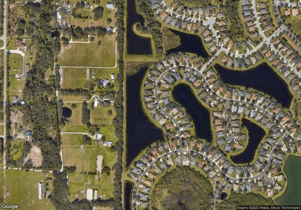
Map
Nearby Homes
- 391 Snapdragon Loop
- 12358 Lavender Loop
- 12338 Lavender Loop
- 337 Snapdragon Loop
- 224 Dahlia Ct
- 12321 Aster Ave
- 280 Dahlia Ct Unit D
- 12428 Aster Ave
- 12576 Natureview Cir
- 12428 Natureview Cir
- 12412 Daisy Place
- 731 116th Ct NE
- 12520 Natureview Cir Unit E
- 706 Gadwall Ct
- 518 Chantilly Trail
- 12535 Cara Loop
- 12628 Daisy Place
- 12619 Daisy Place
- 12736 Penguin Dr
- 12810 Daisy Place
- 12027 Aster Ave
- 12023 Aster Ave
- 12039 Aster Ave Unit C
- 12028 Aster Ave
- 12036 Aster Ave
- 12024 Aster Ave
- 12019 Aster Ave
- 12043 Aster Ave
- 12048 Aster Ave
- 12020 Aster Ave
- 12047 Aster Ave
- 12015 Aster Ave Unit C
- 12018 Aster Ave
- 12056 Aster Ave
- 12051 Aster Ave
- 12011 Aster Ave
- 12016 Aster Ave
- 12055 Aster Ave
- 12064 Aster Ave
- 12014 Aster Ave