12033 Avenue 274 Visalia, CA 93277
Estimated Value: $464,936
--
Bed
--
Bath
1,738
Sq Ft
$268/Sq Ft
Est. Value
About This Home
This home is located at 12033 Avenue 274, Visalia, CA 93277 and is currently priced at $464,936, approximately $267 per square foot. 12033 Avenue 274 is a home located in Tulare County with nearby schools including Liberty Elementary School, Tulare Western High School, and Visalia Charter Independent Study - East Campus.
Ownership History
Date
Name
Owned For
Owner Type
Purchase Details
Closed on
Dec 1, 2008
Sold by
Johnson James V
Bought by
Johnson James and Johnson Deana L
Current Estimated Value
Purchase Details
Closed on
Jul 25, 1996
Sold by
Moore Howard W
Bought by
Johnson James and Johnson Deana L
Home Financials for this Owner
Home Financials are based on the most recent Mortgage that was taken out on this home.
Original Mortgage
$30,000
Outstanding Balance
$2,395
Interest Rate
8.32%
Mortgage Type
Seller Take Back
Purchase Details
Closed on
May 16, 1995
Sold by
Johnson Rose D
Bought by
Johnson James and Johnson Deana
Create a Home Valuation Report for This Property
The Home Valuation Report is an in-depth analysis detailing your home's value as well as a comparison with similar homes in the area
Home Values in the Area
Average Home Value in this Area
Purchase History
| Date | Buyer | Sale Price | Title Company |
|---|---|---|---|
| Johnson James | -- | None Available | |
| Johnson James | $30,000 | Fidelity National Title Co | |
| Johnson James | -- | -- |
Source: Public Records
Mortgage History
| Date | Status | Borrower | Loan Amount |
|---|---|---|---|
| Open | Johnson James | $30,000 |
Source: Public Records
Tax History Compared to Growth
Tax History
| Year | Tax Paid | Tax Assessment Tax Assessment Total Assessment is a certain percentage of the fair market value that is determined by local assessors to be the total taxable value of land and additions on the property. | Land | Improvement |
|---|---|---|---|---|
| 2022 | $3,332 | $310,227 | $70,742 | $239,485 |
| 2021 | $3,256 | $304,144 | $69,355 | $234,789 |
| 2020 | $3,248 | $301,026 | $68,644 | $232,382 |
| 2019 | $3,198 | $295,123 | $67,298 | $227,825 |
| 2018 | $3,651 | $331,826 | $65,978 | $265,848 |
| 2017 | $3,750 | $333,562 | $64,684 | $268,878 |
| 2016 | $3,737 | $336,500 | $63,416 | $273,084 |
| 2015 | $4,166 | $357,872 | $62,463 | $295,409 |
| 2014 | $4,166 | $371,606 | $61,239 | $310,367 |
Source: Public Records
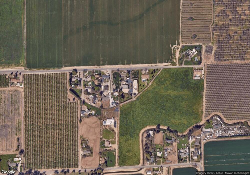
Map
Nearby Homes
- 0 W Cameron Unit E1 233502
- 1635-1639 W Cameron Ave
- 27274 S Mooney Blvd
- 11590 Avenue 272
- 816 W Loyola Ave
- 612 W Packwood Ct
- 811 W Russell Ave
- 0 W Midvalley Ave
- 605 W Russell Ave
- 134 W Kimball Ave
- 3831 S Watson St
- 530 W Kimball Ave
- 136 W Loyola Ave
- 2400 W Midvalley Ave
- 2400 W Midvalley Ave Unit S 1
- 2400 W Midvalley Ave Unit R6
- 2400 W Midvalley Ave Unit R5
- 2400 W Midvalley Ave Unit Ld44
- 2400 W Midvalley Ave Unit O6
- 2400 W Midvalley Ave Unit L3
- 12075 Avenue 274
- 11983 Avenue 274
- 11971 Avenue 274
- 11965 Avenue 274
- 11957 Avenue 274
- 11945 Avenue 274
- 11945 Avenue 274
- 11945 Avenue 274
- 11937 Avenue 274
- 12160 Avenue 274
- 12165 Avenue 274
- 12148 Avenue 272
- 12114 Avenue 272
- 12098 Avenue 272
- 0 Avenue 274 Unit 202107290
- 0 Avenue 274 Unit 211973
- 0 Avenue 274 Unit 221080314
- 0 Avenue 274
- 12162 Avenue 272
- 11992 Avenue 272