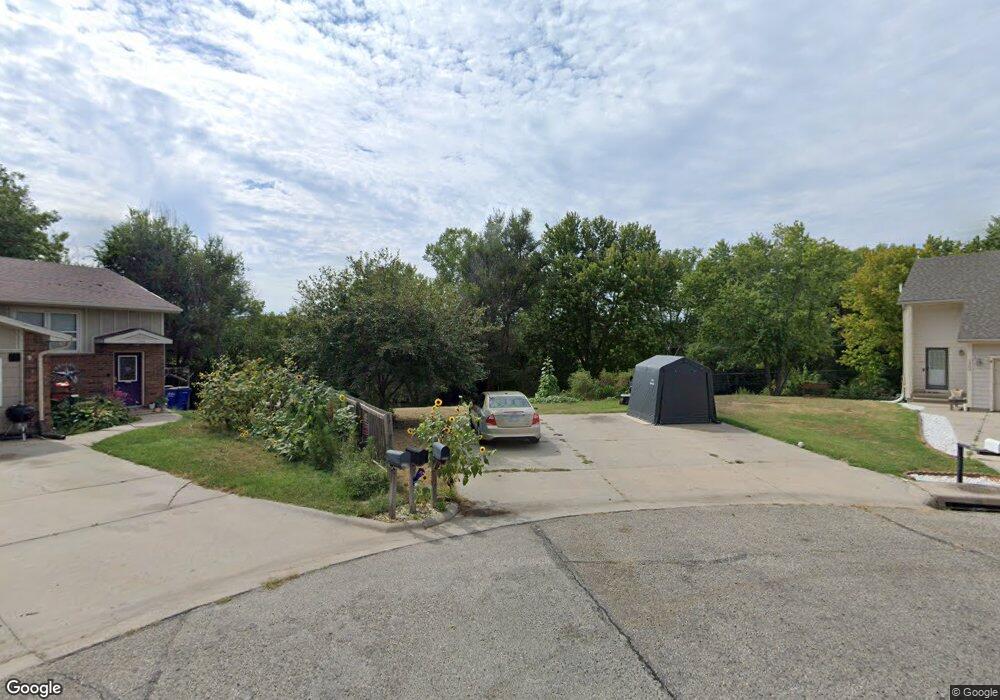
1204 Bluestem Dr Junction City, KS 66441
Estimated Value: $78,000 - $218,000
3
Beds
2
Baths
1,091
Sq Ft
$136/Sq Ft
Est. Value
About This Home
This home is located at 1204 Bluestem Dr, Junction City, KS 66441 and is currently estimated at $148,000, approximately $135 per square foot. 1204 Bluestem Dr is a home located in Geary County with nearby schools including Eisenhower Elementary School, Junction City Middle School, and Junction City Senior High School.
Ownership History
Date
Name
Owned For
Owner Type
Purchase Details
Closed on
Mar 21, 2025
Sold by
Hawkins Gregory R and Hawkins Nancy M
Bought by
Cohen Fredie Charles and Cohen Courteney Lynn
Current Estimated Value
Purchase Details
Closed on
May 22, 2018
Sold by
Taylor Jack W
Bought by
Jack W Taylor Revocable Intervivos Trust
Create a Home Valuation Report for This Property
The Home Valuation Report is an in-depth analysis detailing your home's value as well as a comparison with similar homes in the area
Home Values in the Area
Average Home Value in this Area
Purchase History
| Date | Buyer | Sale Price | Title Company |
|---|---|---|---|
| Cohen Fredie Charles | -- | None Listed On Document | |
| Cohen Fredie Charles | -- | None Listed On Document | |
| Hawkins Gregory R | -- | None Listed On Document | |
| Hawkins Gregory R | -- | None Listed On Document | |
| Jack W Taylor Revocable Intervivos Trust | -- | None Available |
Source: Public Records
Tax History Compared to Growth
Tax History
| Year | Tax Paid | Tax Assessment Tax Assessment Total Assessment is a certain percentage of the fair market value that is determined by local assessors to be the total taxable value of land and additions on the property. | Land | Improvement |
|---|---|---|---|---|
| 2025 | $88 | $299 | $299 | $0 |
| 2024 | $87 | $598 | $598 | $0 |
| 2023 | $53 | $353 | $353 | $0 |
| 2022 | $0 | $353 | $353 | $0 |
| 2021 | $0 | $598 | $598 | $0 |
| 2020 | $98 | $598 | $598 | $0 |
| 2019 | $96 | $582 | $582 | $0 |
| 2018 | $2,439 | $15,191 | $1,337 | $13,854 |
| 2017 | $2,383 | $14,709 | $1,930 | $12,779 |
| 2016 | $2,583 | $15,766 | $798 | $14,968 |
| 2015 | $2,445 | $15,548 | $677 | $14,871 |
| 2014 | $2,223 | $14,778 | $1,127 | $13,651 |
Source: Public Records
Map
Nearby Homes
- 1233 Caroline Ave
- 1309 Caroline Ave
- 1218 Caroline Ave
- 1311 Pearl Dr
- 1108 Crest Hill Dr
- 1023 Cypress St
- 1117 Coyote Dr
- 516 Tamerisk Dr
- 927 Hemlock St
- 1201 S Garfield St
- 1041 Sandusky Dr
- 1308 Sandusky Dr
- 854 Skyline Dr
- 1325 S Garfield St
- 0000 W Ash St
- 904 Mcclure St
- 1508 Knollcrest Dr
- 313 Caroline Ct
- 316 Michaels Way
- 609 Sheridan Dr