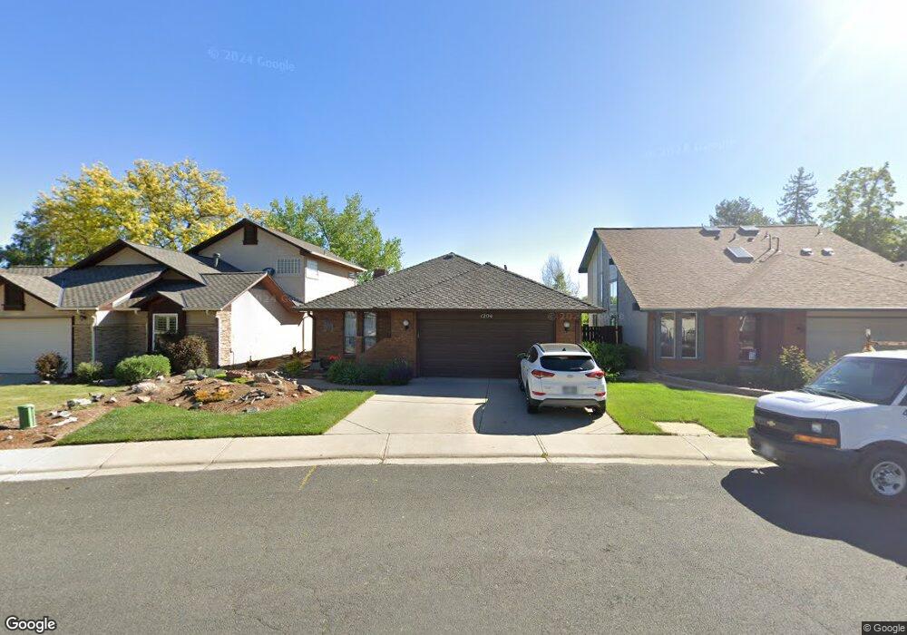
1204 E 4th Ave Longmont, CO 80504
Kensington NeighborhoodEstimated Value: $533,000 - $622,000
2
Beds
2
Baths
1,669
Sq Ft
$348/Sq Ft
Est. Value
About This Home
This home is located at 1204 E 4th Ave, Longmont, CO 80504 and is currently estimated at $580,740, approximately $347 per square foot. 1204 E 4th Ave is a home located in Boulder County with nearby schools including Rocky Mountain Elementary School, Trail Ridge Middle School, and Skyline High School.
Ownership History
Date
Name
Owned For
Owner Type
Purchase Details
Closed on
Sep 6, 2013
Sold by
Hopkins Vivian R
Bought by
Hopkins John
Current Estimated Value
Home Financials for this Owner
Home Financials are based on the most recent Mortgage that was taken out on this home.
Original Mortgage
$268,580
Outstanding Balance
$200,819
Interest Rate
4.45%
Mortgage Type
VA
Estimated Equity
$379,921
Purchase Details
Closed on
Dec 28, 1979
Bought by
Hopkins John and Hopkins Vicky
Purchase Details
Closed on
Dec 13, 1976
Bought by
Hopkins John and Hopkins Vicky
Create a Home Valuation Report for This Property
The Home Valuation Report is an in-depth analysis detailing your home's value as well as a comparison with similar homes in the area
Home Values in the Area
Average Home Value in this Area
Purchase History
| Date | Buyer | Sale Price | Title Company |
|---|---|---|---|
| Hopkins John | $260,000 | Fidelity National Title Insu | |
| Hopkins John | $95,000 | -- | |
| Hopkins John | $61,700 | -- |
Source: Public Records
Mortgage History
| Date | Status | Borrower | Loan Amount |
|---|---|---|---|
| Open | Hopkins John | $268,580 |
Source: Public Records
Tax History
| Year | Tax Paid | Tax Assessment Tax Assessment Total Assessment is a certain percentage of the fair market value that is determined by local assessors to be the total taxable value of land and additions on the property. | Land | Improvement |
|---|---|---|---|---|
| 2025 | $2,722 | $39,469 | $10,656 | $28,813 |
| 2024 | $2,722 | $39,469 | $10,656 | $28,813 |
| 2023 | $3,317 | $35,155 | $11,584 | $27,256 |
| 2022 | $3,193 | $32,262 | $8,132 | $24,130 |
| 2021 | $3,234 | $33,191 | $8,366 | $24,825 |
| 2020 | $2,757 | $28,378 | $7,150 | $21,228 |
| 2019 | $2,713 | $28,378 | $7,150 | $21,228 |
| 2018 | $2,415 | $25,423 | $5,472 | $19,951 |
| 2017 | $2,382 | $28,107 | $6,050 | $22,057 |
| 2016 | $2,632 | $27,534 | $8,438 | $19,096 |
| 2015 | $2,508 | $20,855 | $7,164 | $13,691 |
| 2014 | $1,368 | $22,606 | $7,164 | $15,442 |
Source: Public Records
Map
Nearby Homes
- 245 High Point Dr Unit 104
- 265 High Point Dr Unit F-302
- 265 High Point Dr Unit 201
- 265 High Point Dr Unit 204
- 265 High Point Dr Unit 203
- 265 High Point Dr Unit 207
- 235 High Point Dr Unit 204
- 235 High Point Dr Unit 206
- 235 High Point Dr Unit 102
- 160 High Point Dr
- 218 High Point Dr
- 1615 Stardance Cir
- 737 Goss Dr
- 1415 Great Western Dr
- 1418 Hudson Place
- 1422 Hudson Place
- 613 Rider Ridge Dr
- 10012 N 119th St
- 410 High Point Dr Unit 104
- 410 High Point Dr Unit 102
Your Personal Tour Guide
Ask me questions while you tour the home.