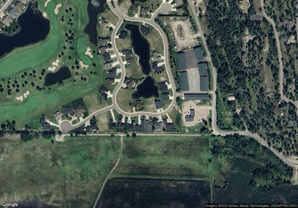
1204 Lake Point Dr Big Fork, MT 59911
Estimated Value: $217,000 - $249,542
--
Bed
--
Bath
--
Sq Ft
0.25
Acres
About This Home
This home is located at 1204 Lake Point Dr, Big Fork, MT 59911 and is currently estimated at $234,386. 1204 Lake Point Dr is a home located in Flathead County with nearby schools including Bigfork Elementary School, Bigfork Middle School, and Bigfork High School.
Ownership History
Date
Name
Owned For
Owner Type
Purchase Details
Closed on
Nov 3, 2025
Sold by
Hoene Margaret Lipp and Hoene Robert W
Bought by
Hoene Trust and Hoene
Current Estimated Value
Purchase Details
Closed on
Jan 2, 2025
Sold by
Donch Michael and Donch Marianne
Bought by
Hoene Margaret Lipp and Hoene Robert W
Purchase Details
Closed on
Oct 21, 2020
Sold by
Singer Valerie and Singer Family Trust
Bought by
Donch Michael and Donch Marianne
Purchase Details
Closed on
Oct 25, 2005
Sold by
Sherman Victoria A
Bought by
Sherman Ginny Hays
Purchase Details
Closed on
Oct 3, 2005
Sold by
Sherman Ginny Hays
Bought by
Singer Anthony E and Singer Valerie
Create a Home Valuation Report for This Property
The Home Valuation Report is an in-depth analysis detailing your home's value as well as a comparison with similar homes in the area
Home Values in the Area
Average Home Value in this Area
Purchase History
| Date | Buyer | Sale Price | Title Company |
|---|---|---|---|
| Hoene Trust | -- | None Listed On Document | |
| Hoene Margaret Lipp | -- | Fidelity National Title | |
| Donch Michael | -- | First American Title Co | |
| Sherman Ginny Hays | -- | Alliance Title | |
| Sherman Victoria A | -- | Alliance Title | |
| Singer Anthony E | -- | None Available |
Source: Public Records
Tax History Compared to Growth
Tax History
| Year | Tax Paid | Tax Assessment Tax Assessment Total Assessment is a certain percentage of the fair market value that is determined by local assessors to be the total taxable value of land and additions on the property. | Land | Improvement |
|---|---|---|---|---|
| 2025 | $673 | $214,516 | $0 | $0 |
| 2024 | $738 | $132,184 | $0 | $0 |
| 2023 | $987 | $132,184 | $0 | $0 |
| 2022 | $623 | $81,460 | $0 | $0 |
| 2021 | $600 | $81,460 | $0 | $0 |
| 2020 | $515 | $65,278 | $0 | $0 |
| 2019 | $496 | $65,278 | $0 | $0 |
| 2018 | $485 | $60,917 | $0 | $0 |
| 2017 | $475 | $60,917 | $0 | $0 |
| 2016 | $342 | $44,321 | $0 | $0 |
| 2015 | $321 | $44,321 | $0 | $0 |
| 2014 | $1,064 | $88,442 | $0 | $0 |
Source: Public Records
Map
Nearby Homes
- 1114 Lake Pointe Dr
- 1066 Lake Pointe Dr
- 1347 Lake Pointe Dr
- 1001 Lake Pointe Dr
- 94 Golf Terrace
- 39 Golf Terrace Unit 5
- 73 Golf Terrace
- 85 Golf Terrace
- 68 Bay Harbor Dr
- 2036 Marina Ct
- 440 Holt Dr
- 137 & 133 Eagle Bend Dr
- 2084 Marina Ct
- A 33 Eagle Bend Yacht Harbor 44'
- 1050 Mill Creek Dr
- 1048 Mill Creek Dr
- 147 Bjork Dr
- NHN Eagle Bend Dr
- 151 Bjork Dr
- 260 Eagle Bend Dr
- 1220 Lake Pointe Dr
- 1220 Lake Point Dr
- 1146 Lake Point Dr
- 1146 Lake Pointe Dr
- 1130 Lake Point Dr Unit Lot 35
- 1258 Lake Point Dr
- 1219 Lake Point Dr
- 1130 Lake Pointe Dr
- 1203 Lake Pointe Dr
- 1290 Lake Point Dr
- 1290 Lake Pointe Dr
- 1187 Lake Point Dr
- 1300 Lake Point Dr
- 1300 Lake Pointe Dr
- 1235 Lake Point Dr
- 1171 Lake Pointe Dr
- 1171 Lake Point Dr
- 1251 Lake Pointe Dr
- 1314 Lake Pointe Dr
- 1098 Lake Point Dr
