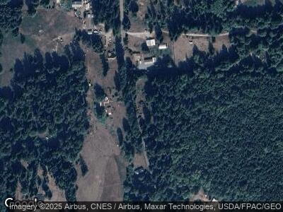
12043 Martin Rd Rockport, WA 98283
Estimated Value: $277,000 - $351,663
1
Bed
2
Baths
693
Sq Ft
$469/Sq Ft
Est. Value
About This Home
This home is located at 12043 Martin Rd, Rockport, WA 98283 and is currently estimated at $324,888, approximately $468 per square foot. 12043 Martin Rd is a home located in Skagit County with nearby schools including Concrete Elementary School, Skagit River School House, and Twin Cedars High School.
Create a Home Valuation Report for This Property
The Home Valuation Report is an in-depth analysis detailing your home's value as well as a comparison with similar homes in the area
Home Values in the Area
Average Home Value in this Area
Tax History Compared to Growth
Tax History
| Year | Tax Paid | Tax Assessment Tax Assessment Total Assessment is a certain percentage of the fair market value that is determined by local assessors to be the total taxable value of land and additions on the property. | Land | Improvement |
|---|---|---|---|---|
| 2024 | $2,094 | $272,500 | $152,600 | $119,900 |
| 2023 | $2,094 | $264,300 | $144,400 | $119,900 |
| 2022 | $1,938 | $246,500 | $135,600 | $110,900 |
| 2021 | $1,715 | $209,500 | $118,700 | $90,800 |
| 2020 | $1,528 | $170,800 | $0 | $0 |
| 2019 | $1,375 | $146,700 | $0 | $0 |
| 2018 | $1,374 | $139,700 | $0 | $0 |
| 2017 | $1,174 | $117,500 | $0 | $0 |
| 2016 | $1,161 | $100,100 | $56,700 | $43,400 |
| 2015 | $1,078 | $100,100 | $56,700 | $43,400 |
| 2013 | $1,001 | $78,700 | $0 | $0 |
Source: Public Records
Map
Nearby Homes
- 10871 Alfred St
- 54909 Conrad Rd
- 57174 State Route 20
- 9829 Pandora Ct
- 9306 Dandy Place
- 483 XX Moen Rd
- 47785 State Route 20
- 7772 Ranger Station Rd
- 7530 Powerline Rd
- 46017 Baker Dr
- 46649 Baker Loop Rd
- 0 Emerald Ln Unit NWM2252820
- 45967 Benjamin St
- 0 S Dillard Ave Unit 1328756
- 7489 S Dillard Ave
- 0 Eriksen Place
- 0 XXX S Dillard Ave
- 0 XX S Dillard Ave
- 0 xx State Route 20
- 7605 S Superior Ave
