Estimated Value: $334,000 - $436,802
4
Beds
4
Baths
2,176
Sq Ft
$181/Sq Ft
Est. Value
About This Home
This home is located at 1205 282nd St, Jesup, IA 50648 and is currently estimated at $393,701, approximately $180 per square foot. 1205 282nd St is a home with nearby schools including Jesup Elementary School, Jesup Middle School, and Jesup High School.
Ownership History
Date
Name
Owned For
Owner Type
Purchase Details
Closed on
Jun 27, 2014
Sold by
Higdon Matthew
Bought by
Higdon Darryl G and Higdon Mary Kay
Current Estimated Value
Purchase Details
Closed on
Dec 12, 2008
Sold by
Gates Vivian I
Bought by
Higdon Matthew
Home Financials for this Owner
Home Financials are based on the most recent Mortgage that was taken out on this home.
Original Mortgage
$121,500
Interest Rate
5.5%
Mortgage Type
Adjustable Rate Mortgage/ARM
Create a Home Valuation Report for This Property
The Home Valuation Report is an in-depth analysis detailing your home's value as well as a comparison with similar homes in the area
Home Values in the Area
Average Home Value in this Area
Purchase History
| Date | Buyer | Sale Price | Title Company |
|---|---|---|---|
| Higdon Darryl G | $150,000 | None Available | |
| Higdon Matthew | $135,000 | None Available |
Source: Public Records
Mortgage History
| Date | Status | Borrower | Loan Amount |
|---|---|---|---|
| Previous Owner | Higdon Matthew | $121,500 |
Source: Public Records
Tax History Compared to Growth
Tax History
| Year | Tax Paid | Tax Assessment Tax Assessment Total Assessment is a certain percentage of the fair market value that is determined by local assessors to be the total taxable value of land and additions on the property. | Land | Improvement |
|---|---|---|---|---|
| 2025 | $4,064 | $403,760 | $65,000 | $338,760 |
| 2024 | $4,064 | $330,260 | $56,810 | $273,450 |
| 2023 | $4,030 | $330,260 | $56,810 | $273,450 |
| 2022 | $3,632 | $258,940 | $45,380 | $213,560 |
| 2021 | $3,642 | $258,400 | $45,380 | $213,020 |
| 2020 | $3,642 | $240,850 | $41,250 | $199,600 |
| 2019 | $3,560 | $240,850 | $41,250 | $199,600 |
| 2018 | $3,028 | $234,950 | $41,250 | $193,700 |
| 2017 | $3,046 | $216,520 | $41,250 | $175,270 |
| 2016 | $2,954 | $218,920 | $32,730 | $186,190 |
| 2015 | $2,954 | $218,920 | $32,730 | $186,190 |
| 2014 | $2,672 | $185,130 | $32,730 | $152,400 |
Source: Public Records
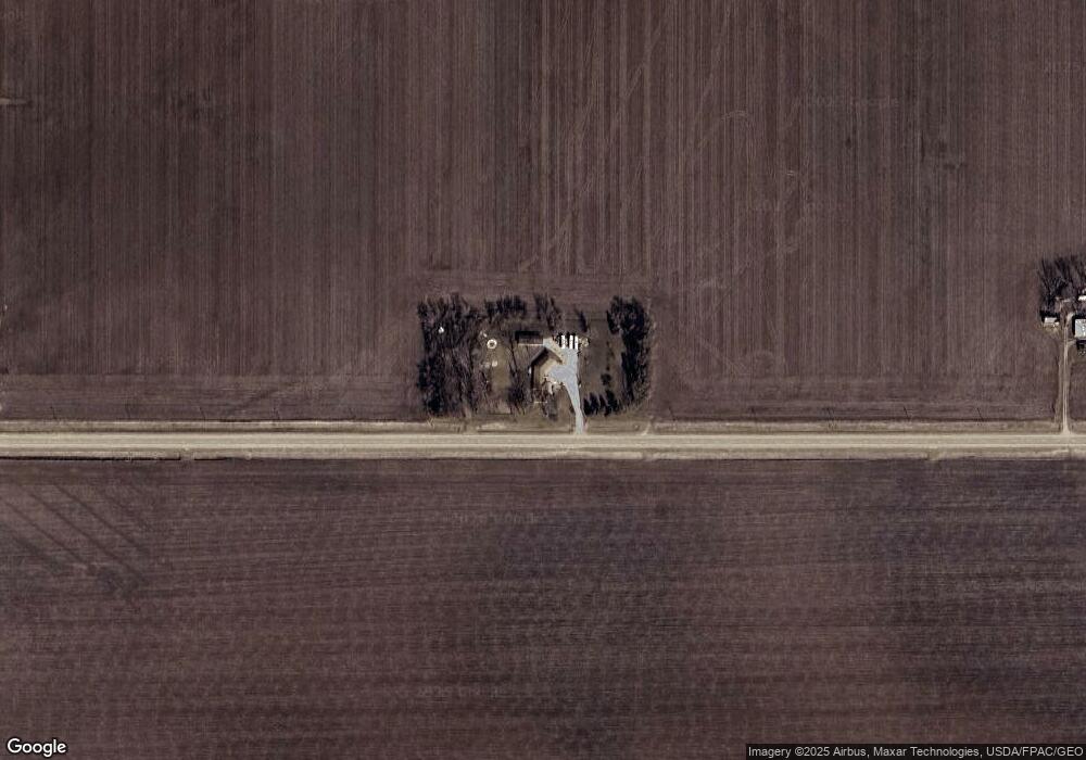
Map
Nearby Homes
- 0 Tbd 325th St
- 00 Garling Rd
- 705 South St
- 0 Garling Rd
- 2554 Henley Ave
- 1715 11th St
- Lot 1 Benson Shady Grove Ave
- Lot 4 Benson Shady Grove Ave
- Lot 2 Benson Shady Grove Ave
- 0 Benson Ridge Addition Unit Lot 1 20224978
- 0 Benson Ridge Addition Unit Lot 2 20224979
- 0 Benson Ridge Addition Unit Lot 7 20241370
- 1634 11th St
- 1644 Killarney Dr
- Lot 7 Dalton St
- 1217 220th St
- 1209 220th St
- 245 Bordner Dr
- 1655 Dalton St
- 1645 Dalton St
- 1229 282nd St
- 2884 Carroll Ave
- 2831 Daniel Ave
- 1131 282nd St
- 2806 Benson Shady Grove Ave
- 1132 282nd St
- 1208 275th St
- 2810 Benson Shady Grove Ave
- 2814 Benson Shady Grove Ave
- 2808 Benson Shady Grove Ave
- 2802 Benson Shady Grove Ave
- 2825 Benson Shady Grove Ave
- 2815 Benson Shady Grove Ave
- 2831 Benson Shady Grove Ave
- 1146 288th St
- 2784 Benson Shady Grove Ave
- 2841 Benson Shady Grove Ave
- 2776 Benson Shady Grove Ave
- 1148 275th St
- 1115 280th St