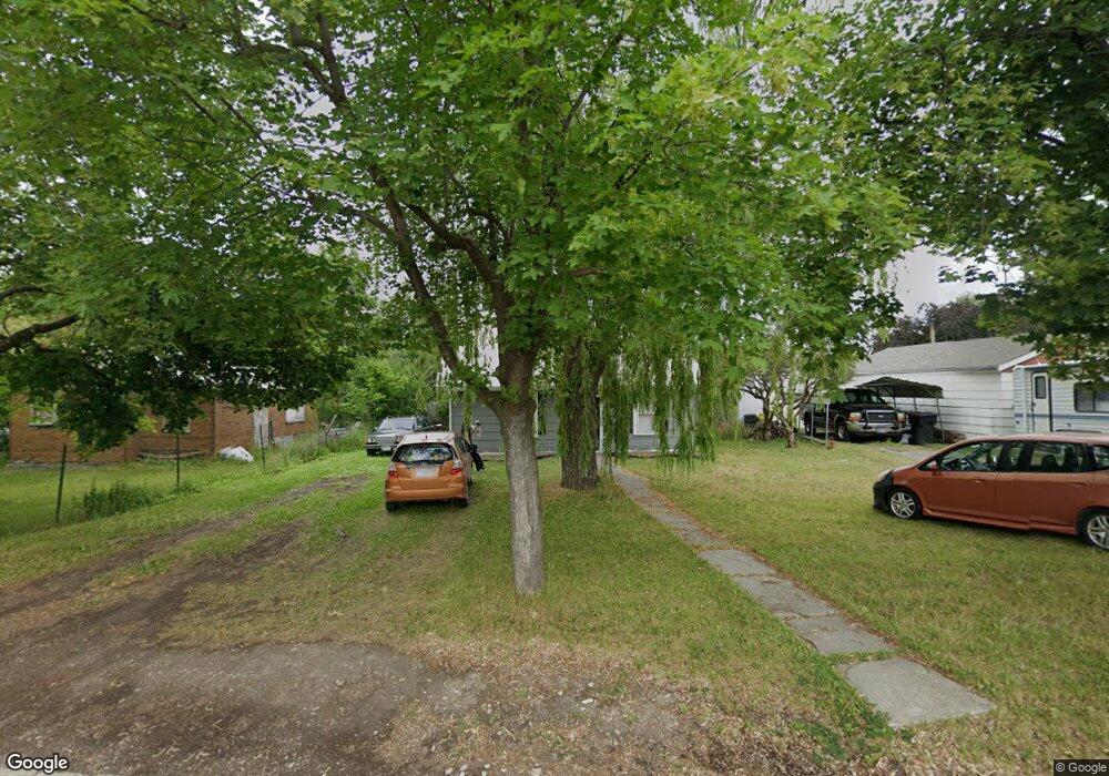
1205 5th Ave W Kalispell, MT 59901
Estimated Value: $354,000 - $378,000
2
Beds
1
Bath
1,008
Sq Ft
$361/Sq Ft
Est. Value
About This Home
This home is located at 1205 5th Ave W, Kalispell, MT 59901 and is currently estimated at $363,502, approximately $360 per square foot. 1205 5th Ave W is a home located in Flathead County with nearby schools including Elrod School, Kalispell Middle School, and Flathead High School.
Ownership History
Date
Name
Owned For
Owner Type
Purchase Details
Closed on
Sep 8, 2021
Sold by
Sonntag Teresa and Sonntag Johann
Bought by
Peterson Charles and Peterson Jill
Current Estimated Value
Purchase Details
Closed on
Jun 23, 2021
Sold by
Blue Bryant M and Blue Joana L
Bought by
Sonntag Johann and Sonntag Teresa
Purchase Details
Closed on
Aug 16, 2011
Sold by
Vandort Jon R and Vandort Van Dort
Bought by
Blue Bryant M and Blue Joanna L
Home Financials for this Owner
Home Financials are based on the most recent Mortgage that was taken out on this home.
Original Mortgage
$44,900
Interest Rate
4.46%
Mortgage Type
Seller Take Back
Create a Home Valuation Report for This Property
The Home Valuation Report is an in-depth analysis detailing your home's value as well as a comparison with similar homes in the area
Home Values in the Area
Average Home Value in this Area
Purchase History
| Date | Buyer | Sale Price | Title Company |
|---|---|---|---|
| Peterson Charles | -- | Fidelity National Title | |
| Sonntag Johann | -- | First American Title Co | |
| Blue Bryant M | -- | None Available | |
| Vandort Jon R | -- | None Available |
Source: Public Records
Mortgage History
| Date | Status | Borrower | Loan Amount |
|---|---|---|---|
| Previous Owner | Blue Bryant M | $44,900 |
Source: Public Records
Tax History Compared to Growth
Tax History
| Year | Tax Paid | Tax Assessment Tax Assessment Total Assessment is a certain percentage of the fair market value that is determined by local assessors to be the total taxable value of land and additions on the property. | Land | Improvement |
|---|---|---|---|---|
| 2025 | $1,693 | $352,200 | $0 | $0 |
| 2024 | $2,155 | $276,700 | $0 | $0 |
| 2023 | $2,750 | $276,700 | $0 | $0 |
| 2022 | $2,567 | $191,100 | $0 | $0 |
| 2021 | $1,805 | $167,700 | $0 | $0 |
| 2020 | $2,023 | $132,200 | $0 | $0 |
| 2019 | $2,020 | $132,200 | $0 | $0 |
| 2018 | $1,618 | $91,500 | $0 | $0 |
| 2017 | $1,615 | $91,500 | $0 | $0 |
| 2016 | $1,473 | $92,700 | $0 | $0 |
| 2015 | $1,464 | $92,700 | $0 | $0 |
| 2014 | $1,696 | $69,430 | $0 | $0 |
Source: Public Records
Map
Nearby Homes
- 1313 7th Ave W
- 209 12th St W
- 205 12th St W
- 1517 5th Ave W
- 1308 7th Ave W
- 1028 2nd Ave W
- 901 7th Ave W
- 1483 & 1485 Western Dr
- 811 8th Ave W
- 824 8th St W
- 819 9th Ave W
- 91 Denver Ave
- 614 1st Ave W
- 1312 2nd Ave E
- 1888 N Belmar Dr
- 135 Rimrock Ct
- 1225 2nd Ave E
- 1971 Bluestone Dr
- 811 Ashley Dr
- 1046 3rd Ave E