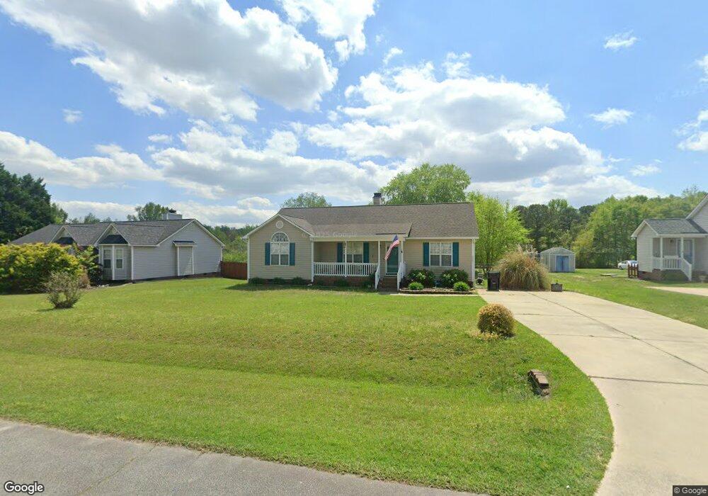
1205 Ashton Hollow Dr Raleigh, NC 27603
Estimated Value: $329,000 - $368,000
3
Beds
2
Baths
1,434
Sq Ft
$243/Sq Ft
Est. Value
About This Home
This home is located at 1205 Ashton Hollow Dr, Raleigh, NC 27603 and is currently estimated at $348,274, approximately $242 per square foot. 1205 Ashton Hollow Dr is a home located in Wake County with nearby schools including Rand Road Elementary, North Garner Middle, and South Garner High.
Ownership History
Date
Name
Owned For
Owner Type
Purchase Details
Closed on
Jun 20, 2023
Sold by
Merritt Cabe M
Bought by
Merritt Cabe M and Merritt Mary Catherine
Current Estimated Value
Purchase Details
Closed on
Aug 26, 2004
Sold by
Harrell Michael R and Harrell Rebecca D
Bought by
Merritt Cabe M
Home Financials for this Owner
Home Financials are based on the most recent Mortgage that was taken out on this home.
Original Mortgage
$126,897
Interest Rate
5.97%
Mortgage Type
FHA
Purchase Details
Closed on
Sep 2, 2000
Sold by
Comfort Homes Inc
Bought by
Harrell Michael R and Harrell Rebecca D
Home Financials for this Owner
Home Financials are based on the most recent Mortgage that was taken out on this home.
Original Mortgage
$23,980
Interest Rate
7.67%
Create a Home Valuation Report for This Property
The Home Valuation Report is an in-depth analysis detailing your home's value as well as a comparison with similar homes in the area
Home Values in the Area
Average Home Value in this Area
Purchase History
| Date | Buyer | Sale Price | Title Company |
|---|---|---|---|
| Merritt Cabe M | -- | None Listed On Document | |
| Merritt Cabe M | $128,000 | -- | |
| Harrell Michael R | $120,000 | -- |
Source: Public Records
Mortgage History
| Date | Status | Borrower | Loan Amount |
|---|---|---|---|
| Previous Owner | Merritt Cabe M | $126,897 | |
| Previous Owner | Harrell Michael R | $23,980 | |
| Closed | Harrell Michael R | $95,920 |
Source: Public Records
Tax History Compared to Growth
Tax History
| Year | Tax Paid | Tax Assessment Tax Assessment Total Assessment is a certain percentage of the fair market value that is determined by local assessors to be the total taxable value of land and additions on the property. | Land | Improvement |
|---|---|---|---|---|
| 2025 | -- | $332,577 | $100,000 | $232,577 |
| 2024 | $2,085 | $332,577 | $100,000 | $232,577 |
| 2023 | $1,502 | $190,094 | $35,000 | $155,094 |
| 2022 | $1,393 | $190,094 | $35,000 | $155,094 |
| 2021 | $1,356 | $190,094 | $35,000 | $155,094 |
| 2020 | $1,334 | $190,094 | $35,000 | $155,094 |
| 2019 | $1,182 | $142,295 | $30,000 | $112,295 |
| 2018 | $1,088 | $142,295 | $30,000 | $112,295 |
| 2017 | $1,032 | $142,295 | $30,000 | $112,295 |
| 2016 | $1,011 | $142,295 | $30,000 | $112,295 |
| 2015 | $985 | $138,970 | $31,000 | $107,970 |
| 2014 | $934 | $138,970 | $31,000 | $107,970 |
Source: Public Records
Map
Nearby Homes
- 449 Kings Hollow Dr
- 2600 Banks Rd Unit Lot 2
- 2600 Banks Rd Unit Lot 1
- 2704 Stageline Dr
- 1005 Turner Meadow Dr
- 5512 Glenhurst North Dr
- 5013 Contender Dr
- 5216 Relay Way
- 1101 Robinfield Dr
- The Crawford Plan at Laneridge Estates
- The Crawford C Plan at Laneridge Estates
- The Beech Plan at Laneridge Estates
- 1220 Turner Woods Dr
- 5057 Trotter Dr
- 5060 Trotter Dr
- 5040 Trotter Dr
- 1329 Wynncrest Ct
- 4824 Bristol Meadow Dr
- 1017 Widgeon Way
- 10329 Fanny Brown Rd
- 1201 Ashton Hollow Dr
- 1209 Ashton Hollow Dr
- 1213 Ashton Hollow Dr
- 1217 Ashton Hollow Dr
- 1208 Ashton Hollow Dr
- 1212 Ashton Hollow Dr
- 1204 Ashton Hollow Dr
- 1129 Ashton Hollow Dr
- 1200 Ashton Hollow Dr
- 1216 Ashton Hollow Dr
- 1221 Ashton Hollow Dr
- 1124 Ashton Hollow Dr
- 1220 Ashton Hollow Dr
- 5133 Peakwood Dr
- 5137 Peakwood Dr
- 512 Grand Prince Ln
- 1225 Ashton Hollow Dr
- 1224 Ashton Hollow Dr
- 5136 Peakwood Dr
- 1113 Ashton Hollow Dr