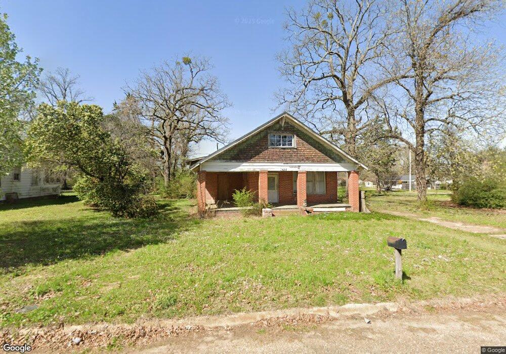
1205 Draughn St Texarkana, AR 71854
Estimated Value: $74,000 - $96,000
--
Bed
1
Bath
1,916
Sq Ft
$43/Sq Ft
Est. Value
About This Home
This home is located at 1205 Draughn St, Texarkana, AR 71854 and is currently estimated at $83,151, approximately $43 per square foot. 1205 Draughn St is a home located in Miller County with nearby schools including Arkansas High School and Washington Academy.
Ownership History
Date
Name
Owned For
Owner Type
Purchase Details
Closed on
Aug 26, 2025
Sold by
Twin Valley Investments Llc
Bought by
Montoya Brenda and Montoya Celida
Current Estimated Value
Purchase Details
Closed on
Jun 10, 2008
Sold by
Deutsche Bank National Trust
Bought by
Gray Steven L and Twin Valley Investments Llc
Purchase Details
Closed on
Nov 20, 2007
Sold by
Lodge Belinda C
Bought by
Deutsche Bank National Trust
Purchase Details
Closed on
Aug 4, 2003
Bought by
Lodge Belinda
Purchase Details
Closed on
Aug 28, 1996
Bought by
Mattson Mac
Purchase Details
Closed on
May 16, 1996
Bought by
Lawler Mary Katherine
Purchase Details
Closed on
Sep 1, 1989
Bought by
Lawler Mary Katherine and Lawler O
Purchase Details
Closed on
Sep 9, 1985
Bought by
Lawler Mary and Lawler Katherine
Create a Home Valuation Report for This Property
The Home Valuation Report is an in-depth analysis detailing your home's value as well as a comparison with similar homes in the area
Home Values in the Area
Average Home Value in this Area
Purchase History
| Date | Buyer | Sale Price | Title Company |
|---|---|---|---|
| Montoya Brenda | $25,000 | None Listed On Document | |
| Gray Steven L | $13,000 | Bankers Title Llc | |
| Deutsche Bank National Trust | $34,160 | None Available | |
| Lodge Belinda | $1,000 | -- | |
| Mattson Mac | -- | -- | |
| Lawler Mary Katherine | -- | -- | |
| Lawler Mary Katherine | -- | -- | |
| Lawler Mary | -- | -- |
Source: Public Records
Tax History Compared to Growth
Tax History
| Year | Tax Paid | Tax Assessment Tax Assessment Total Assessment is a certain percentage of the fair market value that is determined by local assessors to be the total taxable value of land and additions on the property. | Land | Improvement |
|---|---|---|---|---|
| 2024 | $431 | $7,500 | $1,700 | $5,800 |
| 2023 | $412 | $7,500 | $1,700 | $5,800 |
| 2022 | $406 | $7,500 | $1,700 | $5,800 |
| 2021 | $375 | $7,500 | $1,700 | $5,800 |
| 2020 | $344 | $7,500 | $1,700 | $5,800 |
| 2019 | $170 | $6,340 | $1,700 | $4,640 |
| 2018 | $0 | $4,000 | $1,700 | $2,300 |
| 2017 | $170 | $3,100 | $800 | $2,300 |
| 2016 | $170 | $3,100 | $800 | $2,300 |
| 2015 | $170 | $3,100 | $800 | $2,300 |
| 2014 | $332 | $6,050 | $800 | $5,250 |
Source: Public Records
Map
Nearby Homes
- 1215 Cleveland St
- 1202 Orleans St
- 1210 Orleans St
- 1206 Orleans St
- 1212 Grape St
- 0 Kirby St
- TBD Fairview St
- 601 Fairview St
- 519 Artesian St
- 515 Artesian St
- 6 Country Club Ln Unit 6 Pine Grove
- 702 Genoa Rd
- 2301-2405 Dudley St
- 2214 Line Ferry Rd
- 609 Logan St
- TBD Dudley Ave
- TBD U S Highway 71
- 1802 Prospect St
- 1301 S State Line Ave
- 3109 Line Ferry Rd
- 1215 Draughn St
- 1221 Draughn St
- 1202 Draughn St
- 1206 Draughn St
- 1220 Kirby St
- 1909 Forest Ave
- 1202 Kirby St
- 1123 Draughn St
- 1818 Forest Ave
- 1904 Forest Ave
- 1122 Draughn St
- 1110 Kirby St
- 1802 Forest Ave
- 1105 Draughn St
- 1221 Cleveland St
- 1106 Kirby St
- 1211 Kirby St
- 1106 Draughn St
- 1219 Kirby St
- 1910 Forest Ave