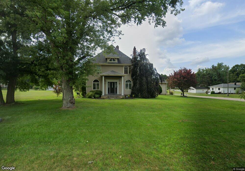
1205 E Mcdevitt Ave Unit 3 Jackson, MI 49203
Estimated Value: $312,000 - $443,000
1
Bed
1
Bath
800
Sq Ft
$452/Sq Ft
Est. Value
About This Home
This home is located at 1205 E Mcdevitt Ave Unit 3, Jackson, MI 49203 and is currently estimated at $361,528, approximately $451 per square foot. 1205 E Mcdevitt Ave Unit 3 is a home located in Jackson County with nearby schools including Townsend Elementary School, Vandercook Lake High School, and Jackson Preparatory & Early College.
Ownership History
Date
Name
Owned For
Owner Type
Purchase Details
Closed on
Dec 30, 2021
Sold by
Sisk Joanna L and Estate Of Leslie D Mcwalters
Bought by
Lease Brandon
Current Estimated Value
Home Financials for this Owner
Home Financials are based on the most recent Mortgage that was taken out on this home.
Original Mortgage
$255,290
Outstanding Balance
$235,282
Interest Rate
3.11%
Mortgage Type
FHA
Estimated Equity
$126,246
Create a Home Valuation Report for This Property
The Home Valuation Report is an in-depth analysis detailing your home's value as well as a comparison with similar homes in the area
Home Values in the Area
Average Home Value in this Area
Purchase History
| Date | Buyer | Sale Price | Title Company |
|---|---|---|---|
| Lease Brandon | $260,000 | Cislo Title Company |
Source: Public Records
Mortgage History
| Date | Status | Borrower | Loan Amount |
|---|---|---|---|
| Open | Lease Brandon | $255,290 |
Source: Public Records
Tax History
| Year | Tax Paid | Tax Assessment Tax Assessment Total Assessment is a certain percentage of the fair market value that is determined by local assessors to be the total taxable value of land and additions on the property. | Land | Improvement |
|---|---|---|---|---|
| 2025 | $4,831 | $162,300 | $0 | $0 |
| 2024 | $31 | $145,400 | $0 | $0 |
| 2023 | $4,227 | $132,300 | $0 | $0 |
| 2022 | $4,038 | $84,300 | $0 | $0 |
| 2021 | $3,750 | $100,800 | $0 | $0 |
| 2020 | $3,115 | $90,900 | $0 | $0 |
| 2019 | $2,884 | $82,000 | $0 | $0 |
| 2018 | $2,972 | $80,400 | $0 | $0 |
| 2017 | $2,682 | $78,300 | $0 | $0 |
| 2016 | $2,072 | $75,400 | $75,400 | $0 |
| 2015 | $2,561 | $67,700 | $67,700 | $0 |
| 2014 | $2,561 | $64,300 | $64,300 | $0 |
| 2013 | -- | $64,300 | $64,300 | $0 |
Source: Public Records
Map
Nearby Homes
- 172 Taylor Ave Unit 84
- 323 S Maurice Ave
- 1248 Upper Lucy #111 Unit 111
- 1 Pete St Unit 39
- 1400 Floyd Ave
- 4030 Gatewood Dr
- 406 E Mcdevitt Ave
- 204 Meyers Ave
- 5400 Sharon Dr
- 206 W Vandercook Dr
- 5182 Grande View Ln
- 118 Ridge St
- 108 S Cove St
- VL S Meridian Rd
- 411 Hinckley Blvd
- 615 Sioux St
- 2000 Evergreen Trail
- VL Hague Ave
- 4900 Nantucket Dr Unit 1
- VL Spring Arbor Rd
- 1205 E Mcdevitt Ave
- VL E Mcdevitt Ave
- 1119 E Mcdevitt Ave
- 1213 E Mcdevitt Ave
- 106 Bagg Ave
- 0 Mcdevitt Unit 4013126
- 0 Mcdevitt Unit 2910480
- 0 Mcdevitt Unit 1064255
- 0 Mcdevitt Unit VL 20017123
- 0 Mcdevitt Unit 900,Parcel 3
- 0 Mcdevitt Unit 900,Parcel 3
- 0 Mcdevitt Unit 900,Parcel 2
- 0 Mcdevitt Unit 900,Parcels 2 & 3
- 0 Mcdevitt Unit 542910480
- 0 Mcdevitt Unit M21042437
- 1200 E Mcdevitt Ave
- 1216 E Mcdevitt Ave
- 120 Comstock St
- 120 Comstock St
- 1105 E Mcdevitt Ave
Your Personal Tour Guide
Ask me questions while you tour the home.