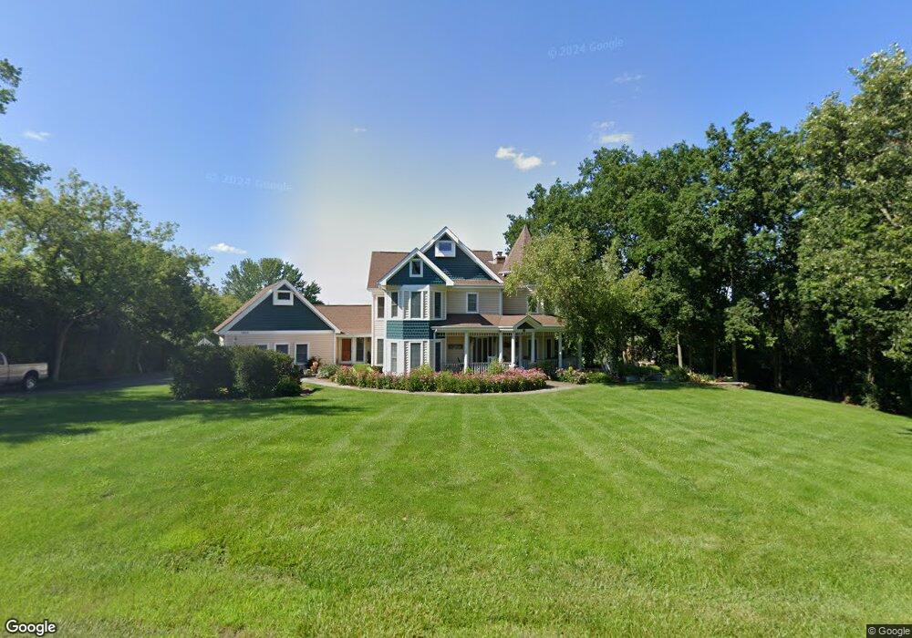
1205 Macintosh Dr Wauconda, IL 60084
Estimated Value: $636,000 - $787,000
--
Bed
4
Baths
3,590
Sq Ft
$200/Sq Ft
Est. Value
About This Home
This home is located at 1205 Macintosh Dr, Wauconda, IL 60084 and is currently estimated at $716,733, approximately $199 per square foot. 1205 Macintosh Dr is a home located in Lake County with nearby schools including Fremont Elementary School, Fremont Intermediate School, and Fremont Jr High/Middle School.
Ownership History
Date
Name
Owned For
Owner Type
Purchase Details
Closed on
Jun 30, 1999
Sold by
Arquilla James D and Bartley Arquilla Ann
Bought by
Easley Charles A and Easley Jacqueline L
Current Estimated Value
Home Financials for this Owner
Home Financials are based on the most recent Mortgage that was taken out on this home.
Original Mortgage
$240,000
Outstanding Balance
$67,917
Interest Rate
7.69%
Estimated Equity
$648,816
Create a Home Valuation Report for This Property
The Home Valuation Report is an in-depth analysis detailing your home's value as well as a comparison with similar homes in the area
Home Values in the Area
Average Home Value in this Area
Purchase History
| Date | Buyer | Sale Price | Title Company |
|---|---|---|---|
| Easley Charles A | $460,000 | Chicago Title Insurance Co |
Source: Public Records
Mortgage History
| Date | Status | Borrower | Loan Amount |
|---|---|---|---|
| Open | Easley Charles A | $240,000 |
Source: Public Records
Tax History Compared to Growth
Tax History
| Year | Tax Paid | Tax Assessment Tax Assessment Total Assessment is a certain percentage of the fair market value that is determined by local assessors to be the total taxable value of land and additions on the property. | Land | Improvement |
|---|---|---|---|---|
| 2024 | $19,058 | $226,539 | $22,674 | $203,865 |
| 2023 | $18,658 | $207,567 | $20,775 | $186,792 |
| 2022 | $18,658 | $196,155 | $22,810 | $173,345 |
| 2021 | $17,912 | $189,284 | $22,011 | $167,273 |
| 2020 | $17,978 | $184,074 | $21,405 | $162,669 |
| 2019 | $17,475 | $178,021 | $20,701 | $157,320 |
| 2018 | $16,051 | $167,410 | $34,838 | $132,572 |
| 2017 | $15,982 | $162,140 | $33,741 | $128,399 |
| 2016 | $15,323 | $153,994 | $32,046 | $121,948 |
| 2015 | $14,804 | $144,365 | $30,042 | $114,323 |
| 2014 | $13,867 | $135,278 | $25,385 | $109,893 |
| 2012 | $14,009 | $136,479 | $25,610 | $110,869 |
Source: Public Records
Map
Nearby Homes
- 1260 Water Stone Cir
- 0 Bonner Rd
- 28722 N Madison Ave
- 701 Lake Shore Dr
- 28855 N Garland Rd
- 29564 N Garland Rd
- 315 Grand Blvd
- 302 Stillwater Ct Unit 1702
- 303 Stillwater Ct Unit 1106
- 309 Stillwater Ct Unit 1101
- 28177 N Garland Rd
- 26049 N Il Route 59
- 315 Hill St Unit A
- 325 Sundown Ct Unit B
- 310 Sundown Ct Unit E
- 2403 Goldenrod Way
- 26241 W Bonner Rd
- 2472 Olivia Ct
- 136 Parkview Dr Unit 5136
- 2486 Olivia Ct
- 1101 E Bonner Rd
- 1207 Macintosh Dr
- 1203 Macintosh Dr
- 1209 Macintosh Dr
- 1071 E Bonner Rd
- 1202 Jonathon Ct
- 1242 Water Stone Cir
- 1244 Water Stone Cir
- 1248 Water Stone Cir
- 1250 Water Stone Cir
- 1201 Macintosh Dr
- 1240 Water Stone Cir
- 1252 Water Stone Cir
- 1200 Macintosh Dr
- 1254 Water Stone Cir
- 1211 Macintosh Dr
- 1238 Water Stone Cir
- 1256 Water Stone Cir
- 1208 Jonathon Ct
- 1245 Water Stone Cir