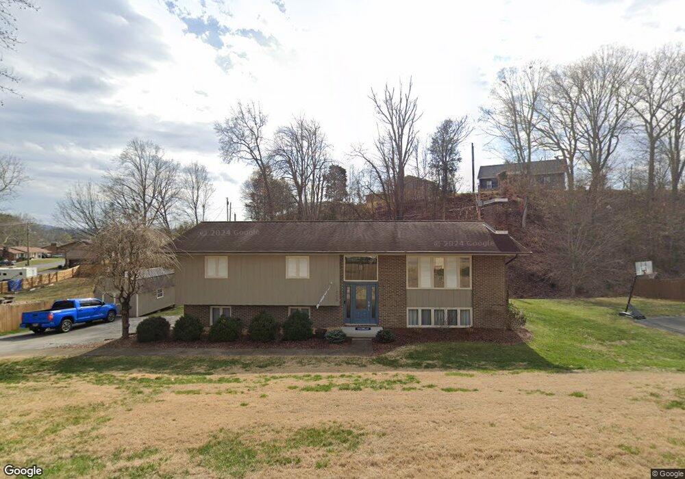
1205 Nassau Dr Kingsport, TN 37660
Estimated Value: $260,000 - $342,000
--
Bed
3
Baths
2,237
Sq Ft
$133/Sq Ft
Est. Value
About This Home
This home is located at 1205 Nassau Dr, Kingsport, TN 37660 and is currently estimated at $298,377, approximately $133 per square foot. 1205 Nassau Dr is a home located in Sullivan County with nearby schools including Andrew Jackson Elementary School, Ross N. Robinson Middle School, and John Sevier Middle School.
Ownership History
Date
Name
Owned For
Owner Type
Purchase Details
Closed on
Jan 8, 2010
Sold by
Hartland Development Co
Bought by
Harper Tyler G
Current Estimated Value
Home Financials for this Owner
Home Financials are based on the most recent Mortgage that was taken out on this home.
Original Mortgage
$119,790
Outstanding Balance
$78,329
Interest Rate
4.87%
Mortgage Type
FHA
Estimated Equity
$220,048
Purchase Details
Closed on
Sep 30, 2009
Sold by
Parker Fred T
Bought by
Hartland Development Co
Purchase Details
Closed on
Aug 7, 1986
Create a Home Valuation Report for This Property
The Home Valuation Report is an in-depth analysis detailing your home's value as well as a comparison with similar homes in the area
Home Values in the Area
Average Home Value in this Area
Purchase History
| Date | Buyer | Sale Price | Title Company |
|---|---|---|---|
| Harper Tyler G | $122,000 | -- | |
| Hartland Development Co | $121,200 | -- | |
| -- | $65,000 | -- |
Source: Public Records
Mortgage History
| Date | Status | Borrower | Loan Amount |
|---|---|---|---|
| Open | -- | $119,790 |
Source: Public Records
Tax History Compared to Growth
Tax History
| Year | Tax Paid | Tax Assessment Tax Assessment Total Assessment is a certain percentage of the fair market value that is determined by local assessors to be the total taxable value of land and additions on the property. | Land | Improvement |
|---|---|---|---|---|
| 2024 | -- | $42,475 | $7,300 | $35,175 |
| 2023 | $1,871 | $42,475 | $7,300 | $35,175 |
| 2022 | $1,871 | $42,475 | $7,300 | $35,175 |
| 2021 | $1,820 | $42,475 | $7,300 | $35,175 |
| 2020 | $1,036 | $42,475 | $7,300 | $35,175 |
| 2019 | $1,868 | $40,300 | $7,300 | $33,000 |
| 2018 | $1,824 | $40,300 | $7,300 | $33,000 |
| 2017 | $1,824 | $40,300 | $7,300 | $33,000 |
| 2016 | $1,649 | $35,500 | $3,975 | $31,525 |
| 2014 | $1,553 | $35,501 | $0 | $0 |
Source: Public Records
Map
Nearby Homes
- 1232 Caribbean Dr
- 1400 E Stone Dr
- 1920 Bowater Dr
- 2009 Idle Hour Rd
- 2017 Springfield Ave
- 1324 White St
- 1817 Avalon St
- 1220 Radcliffe Ave
- 112 Caney Dr
- 1809 Autumn Ln
- 1117 Delrose Dr
- 1725 Highland St
- 1706 Highland St
- 1421 Linville St
- 2104 Southcote Dr
- 0 N John B Dennis Hwy Unit 245311
- 2492 Bridgeforth Crossing
- 1648 E St
- 1357 Watauga St
- 1165 Bloomingdale Pike
- 1209 Nassau Dr
- 1212 Caribbean Dr
- 2101 Pinebrook Dr
- 1204 Nassau Dr
- 1216 Caribbean Dr
- 1213 Nassau Dr
- 1216 Nassau Dr
- 2009 Pinebrook Dr
- 1208 Caribbean Dr
- 2105 Pinebrook Dr
- 1224 Kingston Ct
- 2005 Pinebrook Dr
- 1217 Nassau Dr
- 2104 Pinebrook Dr
- 2108 Pinebrook Dr
- 1217 Caribbean Dr
- 1221 Caribbean Dr
- 2016 Pinebrook Dr
- LOT 2 Caribbean Dr
- 2112 Pinebrook Dr