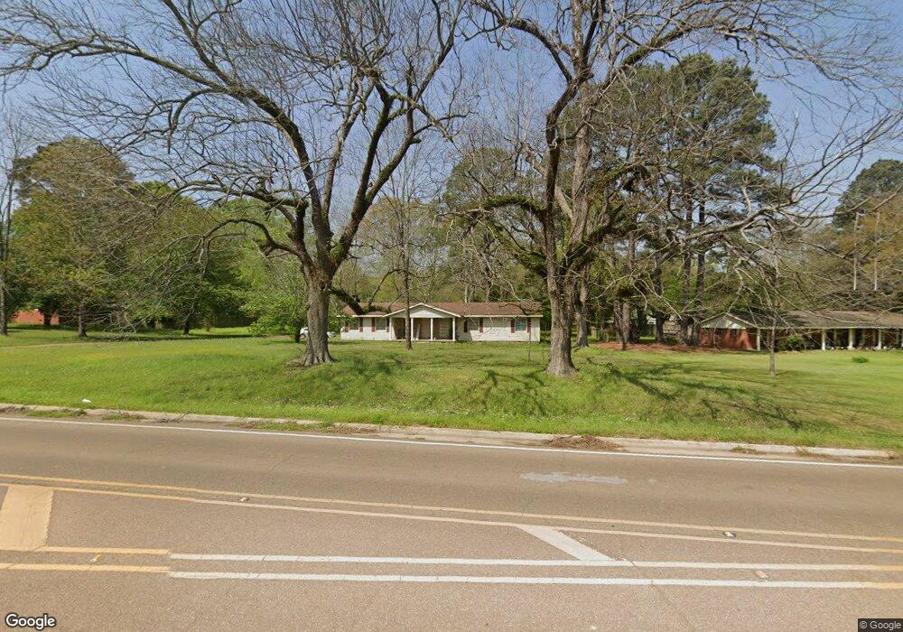
1205 Springridge Rd Clinton, MS 39056
Estimated Value: $225,849 - $250,000
3
Beds
2
Baths
1,846
Sq Ft
$128/Sq Ft
Est. Value
About This Home
This home is located at 1205 Springridge Rd, Clinton, MS 39056 and is currently estimated at $235,962, approximately $127 per square foot. 1205 Springridge Rd is a home located in Hinds County with nearby schools including Clinton Park Elementary School, Eastside Elementary School, and Northside Elementary School.
Ownership History
Date
Name
Owned For
Owner Type
Purchase Details
Closed on
Oct 9, 2015
Sold by
Lariccia Joseph P
Bought by
Jones Kannetha D
Current Estimated Value
Home Financials for this Owner
Home Financials are based on the most recent Mortgage that was taken out on this home.
Original Mortgage
$125,681
Outstanding Balance
$98,851
Interest Rate
3.87%
Mortgage Type
FHA
Estimated Equity
$137,111
Create a Home Valuation Report for This Property
The Home Valuation Report is an in-depth analysis detailing your home's value as well as a comparison with similar homes in the area
Home Values in the Area
Average Home Value in this Area
Purchase History
| Date | Buyer | Sale Price | Title Company |
|---|---|---|---|
| Jones Kannetha D | -- | None Available |
Source: Public Records
Mortgage History
| Date | Status | Borrower | Loan Amount |
|---|---|---|---|
| Open | Jones Kannetha D | $125,681 |
Source: Public Records
Tax History
| Year | Tax Paid | Tax Assessment Tax Assessment Total Assessment is a certain percentage of the fair market value that is determined by local assessors to be the total taxable value of land and additions on the property. | Land | Improvement |
|---|---|---|---|---|
| 2025 | $1,393 | $11,373 | $2,500 | $8,873 |
| 2024 | $1,393 | $11,027 | $2,500 | $8,527 |
| 2023 | $1,393 | $11,027 | $2,500 | $8,527 |
| 2022 | $1,676 | $11,027 | $2,500 | $8,527 |
| 2021 | $1,376 | $11,027 | $2,500 | $8,527 |
| 2020 | $1,343 | $10,882 | $2,500 | $8,382 |
| 2019 | $1,376 | $10,882 | $2,500 | $8,382 |
| 2018 | $1,376 | $10,882 | $2,500 | $8,382 |
| 2017 | $1,313 | $10,882 | $2,500 | $8,382 |
| 2016 | $1,313 | $10,882 | $2,500 | $8,382 |
| 2015 | $1,699 | $11,501 | $3,750 | $7,751 |
| 2014 | $1,699 | $11,501 | $3,750 | $7,751 |
Source: Public Records
Map
Nearby Homes
- 0 Drexel Cir Unit 4126049
- 0 McRaven Rd Unit 4131066
- 218 W Virginia Dr
- 201 Willow Brook Dr
- 727 Laney Dr
- 108 Pebble Ln
- 420 Shadow Lake Cove
- 109 Woodchase Park Dr
- 105 Woodchase Park Dr
- 197 Skyline Dr
- 221 Kirkwood Dr
- 415 Trailwood Dr
- 104 Merlot Cove
- 100 Abby Oak Dr
- 0 Mauri Cove
- 121 Countrywood Cir
- 303 Monterey Dr
- 2321 N Pine Lea Dr
- 110 Napa Valley Dr
- 0 N Pine Lea Dr
- 1203 Springridge Rd
- 1207 Springridge Rd
- 130 McRaven Rd
- 102 Auburn Dr
- 104 Auburn Dr
- 00 Springridge Rd
- 132 McRaven Rd
- 8081 N McRaven Rd
- 105 Auburn Dr
- 8077 N McRaven Rd
- 0 Drexel Cir Unit 221512
- 0 Drexel Cir Unit 233609
- 0 Drexel Cir Unit 260307
- 0 Drexel Cir Unit 274820
- 0 Drexel Cir Unit 282366
- 0 Drexel Cir Unit 298959
- 0 Drexel Cir Unit 4090769
- 0 Drexel Cir Unit 1221512
- 0 Drexel Cir Unit 1233609
- 0 Drexel Cir Unit 1274820
Your Personal Tour Guide
Ask me questions while you tour the home.