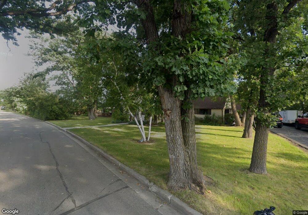
1205 Taft St E Thief River Falls, MN 56701
Estimated Value: $260,815 - $309,000
3
Beds
3
Baths
2,247
Sq Ft
$129/Sq Ft
Est. Value
About This Home
This home is located at 1205 Taft St E, Thief River Falls, MN 56701 and is currently estimated at $290,454, approximately $129 per square foot. 1205 Taft St E is a home located in Pennington County with nearby schools including Challenger Elementary School, Franklin Middle School, and Lincoln Senior High School.
Ownership History
Date
Name
Owned For
Owner Type
Purchase Details
Closed on
Nov 19, 2020
Sold by
Wigness Gerald A and Wigness Marilyn E
Bought by
Benton Michelle Marie and Benton Timothy S
Current Estimated Value
Home Financials for this Owner
Home Financials are based on the most recent Mortgage that was taken out on this home.
Original Mortgage
$265,500
Outstanding Balance
$236,257
Interest Rate
2.8%
Mortgage Type
New Conventional
Estimated Equity
$54,197
Create a Home Valuation Report for This Property
The Home Valuation Report is an in-depth analysis detailing your home's value as well as a comparison with similar homes in the area
Home Values in the Area
Average Home Value in this Area
Purchase History
| Date | Buyer | Sale Price | Title Company |
|---|---|---|---|
| Benton Michelle Marie | $295,000 | None Available | |
| Benton Michelle Michelle | $295,000 | -- |
Source: Public Records
Mortgage History
| Date | Status | Borrower | Loan Amount |
|---|---|---|---|
| Open | Benton Michelle Marie | $265,500 | |
| Closed | Benton Michelle Michelle | $294,000 |
Source: Public Records
Tax History Compared to Growth
Tax History
| Year | Tax Paid | Tax Assessment Tax Assessment Total Assessment is a certain percentage of the fair market value that is determined by local assessors to be the total taxable value of land and additions on the property. | Land | Improvement |
|---|---|---|---|---|
| 2024 | $3,532 | $258,100 | $53,300 | $204,800 |
| 2023 | $3,360 | $258,100 | $0 | $0 |
| 2022 | $3,642 | $243,900 | $0 | $0 |
| 2021 | $3,580 | $213,000 | $0 | $0 |
| 2020 | $3,630 | $207,900 | $0 | $0 |
| 2019 | $3,464 | $216,600 | $0 | $0 |
| 2018 | $3,380 | $216,600 | $0 | $0 |
| 2017 | $3,210 | $211,300 | $0 | $0 |
| 2016 | $2,906 | $202,000 | $0 | $0 |
| 2014 | $2,686 | $177,300 | $0 | $0 |
| 2013 | $2,764 | $170,300 | $0 | $0 |
Source: Public Records
Map
Nearby Homes
- 1217 Taft St E
- 305 Kneale Ave N
- 335 Crocker Ave N
- 241 Crocker Ave N
- 321 Tindolph Ave N
- 118 Crocker Ave N
- 211 Kendall Ave N
- 110 Crocker Ave S
- 1509 Meadowlark Ct
- 715 8th St E
- 1513 Cartway Dr
- 1523 1st St E
- 308 Maple Ave S
- 203 Kendall Ave S
- 111 Markley Ave S
- 414 Crocker Ave S
- 311 Kendall Ave S
- 302 Sherwood Ave N
- 204 Conley Ave S
- 322 Oriole Ave N
- 1209 Taft St E
- 1200 Taft St E
- 325 Kneale Ave N
- 325 Kneale Ave N
- 1215 Taft St E
- 316 Kneale Ave N
- 319 Kneale Ave N
- 333 Maple Ave N
- 1110 Taft St E
- 1110 Taft St E
- 314 Kneale Ave N
- 315 Kneale Ave N
- 1217 Taft St E
- 326 Merriam Ave N
- 325 Maple Ave N
- 324 Merriam Ave N
- 308 Kneale Ave N
- 311 Kneale Ave N
- 320 Merriam Ave N
- 314 Merriam Ave N
